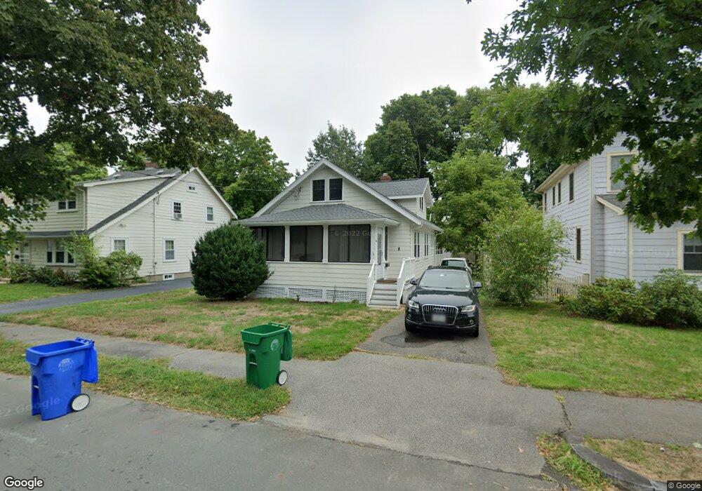
56 Freeman St Unit U Newton, MA 02466
Auburndale NeighborhoodEstimated Value: $880,000 - $973,000
2
Beds
1
Bath
--
Sq Ft
6,011
Sq Ft Lot
About This Home
This home is located at 56 Freeman St Unit U, Newton, MA 02466 and is currently estimated at $932,044. 56 Freeman St Unit U is a home located in Middlesex County with nearby schools including C.C. Burr, F.A. Day Middle School, and Newton North High School.
Ownership History
Date
Name
Owned For
Owner Type
Purchase Details
Closed on
Oct 10, 2023
Sold by
Zhang Hanwen and Chu Jiaqing
Bought by
Zhang Hanwen
Current Estimated Value
Purchase Details
Closed on
Jan 4, 2021
Sold by
Kell Elaine M Est and Kell
Bought by
Zhang Hanwen and Chu Jiaqing
Home Financials for this Owner
Home Financials are based on the most recent Mortgage that was taken out on this home.
Original Mortgage
$516,000
Interest Rate
2.71%
Mortgage Type
Purchase Money Mortgage
Create a Home Valuation Report for This Property
The Home Valuation Report is an in-depth analysis detailing your home's value as well as a comparison with similar homes in the area
Home Values in the Area
Average Home Value in this Area
Purchase History
| Date | Buyer | Sale Price | Title Company |
|---|---|---|---|
| Zhang Hanwen | -- | None Available | |
| Zhang Hanwen | $656,000 | None Available |
Source: Public Records
Mortgage History
| Date | Status | Borrower | Loan Amount |
|---|---|---|---|
| Previous Owner | Zhang Hanwen | $516,000 |
Source: Public Records
Tax History
| Year | Tax Paid | Tax Assessment Tax Assessment Total Assessment is a certain percentage of the fair market value that is determined by local assessors to be the total taxable value of land and additions on the property. | Land | Improvement |
|---|---|---|---|---|
| 2025 | $7,454 | $760,600 | $0 | $0 |
| 2024 | $7,207 | $0 | $0 | $0 |
| 2023 | $6,752 | $663,300 | $0 | $0 |
| 2022 | $6,183 | $587,700 | $587,700 | $0 |
| 2021 | $5,423 | $504,000 | $504,000 | $0 |
| 2020 | $5,262 | $504,000 | $504,000 | $0 |
| 2019 | $5,113 | $489,300 | $0 | $0 |
| 2018 | $4,754 | $439,400 | $0 | $0 |
| 2017 | $4,609 | $414,500 | $0 | $0 |
| 2016 | $4,409 | $387,400 | $0 | $0 |
| 2015 | $4,204 | $362,100 | $362,100 | $0 |
Source: Public Records
Map
Nearby Homes
- 49 Staniford St
- 232 Melrose St Unit 2
- 10 Higgins St
- 160 Pine St Unit 15
- 160 Pine St Unit 12
- 283 Melrose St
- 305 Webster St Unit 2
- 2202 Commonwealth Ave Unit 1
- 226 Auburn St Unit 226
- 101-103 Lexington St
- 194 Auburn St
- 1919 Commonwealth Ave Unit 1919
- 1917 Commonwealth Ave Unit 1917
- 74 Rumford Ave
- 7 Sharon Ave Unit 7
- 214 River St Unit 214
- 17 Lasell St
- 0 Duncan Rd Unit 72925240
- 24 Mague Ave Unit 24
- 105 Adams Ave
- 56 Freeman St
- 52 Freeman St
- 60 Freeman St
- Lot A Freeman St
- 48 Freeman St
- 64 Freeman St
- 299 Lexington St Unit 301
- 299 Lexington St Unit 299
- 299-301 Lexington St Unit 1
- 44 Freeman St
- 3 W Pine St
- 70 Freeman St
- 3 W Pine St Unit 4B
- 307 Lexington St
- 307 Lexington St Unit 307
- 307 Lexington St
- 301 Lexington St Unit 1
- 295-297 Lexington St
- 295 Lexington St Unit 297
- 309 Lexington St Unit 309
Your Personal Tour Guide
Ask me questions while you tour the home.