56 Gleason Rd Princeton, MA 01541
Estimated Value: $788,553 - $1,082,000
4
Beds
4
Baths
2,618
Sq Ft
$357/Sq Ft
Est. Value
About This Home
This home is located at 56 Gleason Rd, Princeton, MA 01541 and is currently estimated at $933,638, approximately $356 per square foot. 56 Gleason Rd is a home located in Worcester County with nearby schools including Wachusett Regional High School.
Ownership History
Date
Name
Owned For
Owner Type
Purchase Details
Closed on
Oct 15, 2001
Sold by
Starrett Steven E and Starrett Marybeth H
Bought by
Goehl Melissa A and Goehl Mark W
Current Estimated Value
Home Financials for this Owner
Home Financials are based on the most recent Mortgage that was taken out on this home.
Original Mortgage
$110,000
Interest Rate
6.93%
Mortgage Type
Purchase Money Mortgage
Purchase Details
Closed on
Apr 2, 1993
Sold by
Us Farms Inc
Bought by
Starrett Steven E and Starrett Marybeth H
Create a Home Valuation Report for This Property
The Home Valuation Report is an in-depth analysis detailing your home's value as well as a comparison with similar homes in the area
Home Values in the Area
Average Home Value in this Area
Purchase History
| Date | Buyer | Sale Price | Title Company |
|---|---|---|---|
| Goehl Melissa A | $574,000 | -- | |
| Starrett Steven E | $67,000 | -- |
Source: Public Records
Mortgage History
| Date | Status | Borrower | Loan Amount |
|---|---|---|---|
| Open | Starrett Steven E | $152,000 | |
| Closed | Starrett Steven E | $150,000 | |
| Closed | Starrett Steven E | $110,000 | |
| Previous Owner | Starrett Steven E | $85,000 |
Source: Public Records
Tax History
| Year | Tax Paid | Tax Assessment Tax Assessment Total Assessment is a certain percentage of the fair market value that is determined by local assessors to be the total taxable value of land and additions on the property. | Land | Improvement |
|---|---|---|---|---|
| 2025 | $9,869 | $679,200 | $133,600 | $545,600 |
| 2024 | $9,510 | $677,800 | $133,600 | $544,200 |
| 2023 | $8,842 | $584,000 | $106,500 | $477,500 |
| 2022 | $8,453 | $539,100 | $106,500 | $432,600 |
| 2021 | $8,097 | $502,300 | $106,500 | $395,800 |
| 2020 | $7,830 | $494,000 | $106,500 | $387,500 |
| 2019 | $7,805 | $487,200 | $103,900 | $383,300 |
| 2018 | $7,370 | $426,500 | $95,200 | $331,300 |
| 2017 | $6,993 | $393,300 | $139,600 | $253,700 |
| 2016 | $7,001 | $393,300 | $139,600 | $253,700 |
| 2015 | $6,517 | $376,700 | $142,000 | $234,700 |
Source: Public Records
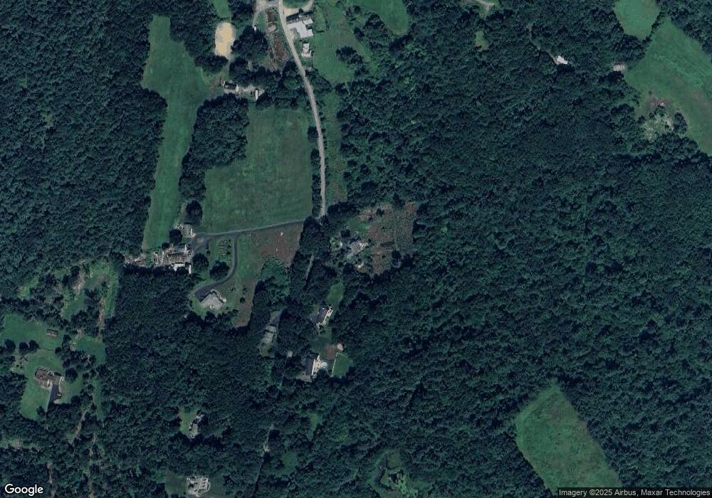
Map
Nearby Homes
- 386 Redemption Rock Trail
- 186 Justice Hill Rd Unit Oakmont
- 186 Justice Hill Rd Unit Mod Farm
- 45 Neylon St
- 20 Mountain Rd
- 134 Mountain Rd
- 717 Wachusett St
- 13 Goodnow Rd
- 1180 Elm St Unit Applewood
- 1180 Elm St Unit Willow
- 1170 Elm St Unit Wachusett
- 9 Stagecoach Rd
- 5 Pine Woods Ln
- 12 Walden Ct
- 4 Jewett Rd Unit B
- 4 Jewett Rd Unit A
- 41 Hill St
- 61 Boutelle Rd
- LOT 1 Elm St
- 223 Worcester Rd