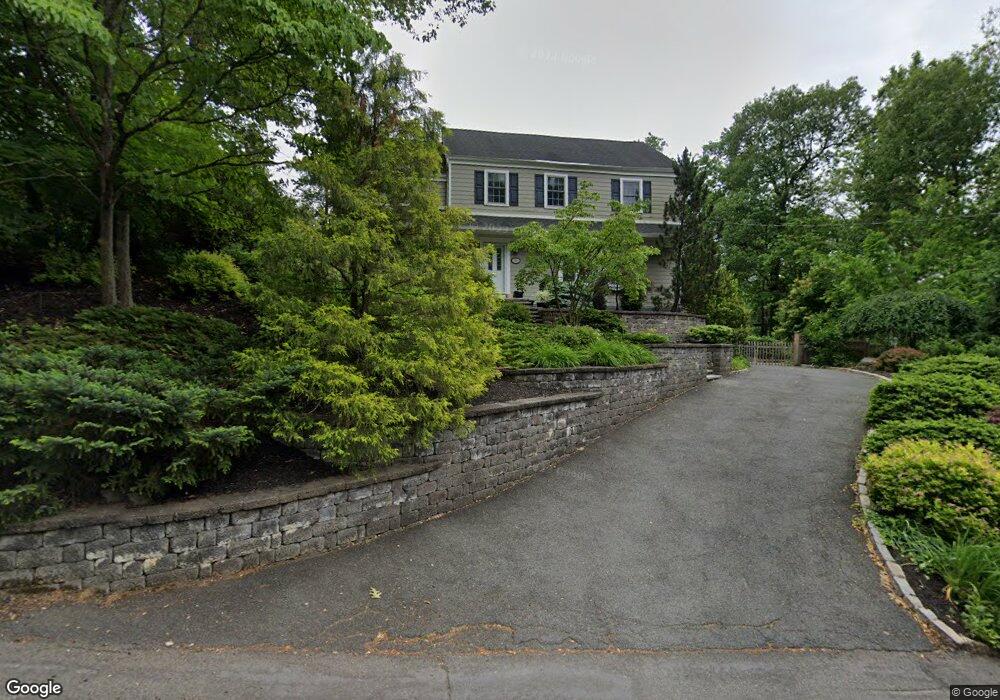
56 Gloucester Rd Summit, NJ 07901
Estimated Value: $1,407,888 - $2,349,000
Studio
--
Bath
2,424
Sq Ft
$745/Sq Ft
Est. Value
About This Home
This home is located at 56 Gloucester Rd, Summit, NJ 07901 and is currently estimated at $1,804,722, approximately $744 per square foot. 56 Gloucester Rd is a home located in Union County with nearby schools including L C Johnson Summit Middle School, Summit Sr High School, and Oak Knoll School of the Holy Child.
Ownership History
Date
Name
Owned For
Owner Type
Purchase Details
Closed on
Jun 28, 1999
Sold by
Hanlon Thomas W and Hanlon Geraldine S
Bought by
Fine Michael James and Fine Carolyn Gerrity
Current Estimated Value
Purchase Details
Closed on
Jan 11, 1994
Sold by
Kenekl Robert
Bought by
Hanlon Thomas and Hanlon Geraldine
Home Financials for this Owner
Home Financials are based on the most recent Mortgage that was taken out on this home.
Original Mortgage
$315,000
Interest Rate
7.23%
Create a Home Valuation Report for This Property
The Home Valuation Report is an in-depth analysis detailing your home's value as well as a comparison with similar homes in the area
Home Values in the Area
Average Home Value in this Area
Purchase History
| Date | Buyer | Sale Price | Title Company |
|---|---|---|---|
| Fine Michael James | $590,000 | -- | |
| Hanlon Thomas | $416,250 | -- |
Source: Public Records
Mortgage History
| Date | Status | Borrower | Loan Amount |
|---|---|---|---|
| Previous Owner | Hanlon Thomas | $315,000 |
Source: Public Records
Tax History
| Year | Tax Paid | Tax Assessment Tax Assessment Total Assessment is a certain percentage of the fair market value that is determined by local assessors to be the total taxable value of land and additions on the property. | Land | Improvement |
|---|---|---|---|---|
| 2025 | $20,295 | $465,900 | $238,400 | $227,500 |
| 2024 | $20,159 | $465,900 | $238,400 | $227,500 |
| 2023 | $20,159 | $465,900 | $238,400 | $227,500 |
| 2022 | $19,955 | $465,900 | $238,400 | $227,500 |
| 2021 | $20,113 | $465,900 | $238,400 | $227,500 |
| 2020 | $20,313 | $465,900 | $238,400 | $227,500 |
| 2019 | $20,337 | $465,900 | $238,400 | $227,500 |
| 2018 | $20,206 | $465,900 | $238,400 | $227,500 |
| 2017 | $20,337 | $465,900 | $238,400 | $227,500 |
| 2016 | $20,038 | $465,900 | $238,400 | $227,500 |
| 2015 | $19,647 | $465,900 | $238,400 | $227,500 |
| 2014 | $19,139 | $465,900 | $238,400 | $227,500 |
Source: Public Records
Map
Nearby Homes
- 65 Seven Oaks Dr
- 157 Grant Ave
- 15 Alison Ct
- 25 Division Ave
- 16 Little Wolf Rd
- 17 Badgley Dr
- 20 Pittsford Way
- 709 Springfield Ave Unit One
- 709 Springfield Ave Unit 4
- 709 Springfield Ave Unit 2
- 709 Springfield Ave Unit 3
- 34 Grant Ave
- 4 Parkview Terrace
- 61 Oakwood Dr
- 110 Livingston Ave
- 50 Livingston Ave
- 105 Larned Rd
- 32 Marion Ave
- 47 Clinton Ave
- 67 Tulip St
- 144 Division Ave
- 50 Gloucester Rd
- 139 Division Ave
- 143 Division Ave
- 42 Gloucester Rd
- 59 Gloucester Rd
- 7 Old Oak Dr
- 61 Gloucester Rd
- 57 Gloucester Rd
- 133 Division Ave
- 38 Gloucester Rd
- 151 Division Ave
- 55 Gloucester Rd
- 17 Old Oak Dr
- 152 Division Ave
- 51 Gloucester Rd
- 129 Division Ave
- 52 Knob Hill Dr
- 153 Division Ave
- 34 Gloucester Rd
Your Personal Tour Guide
Ask me questions while you tour the home.