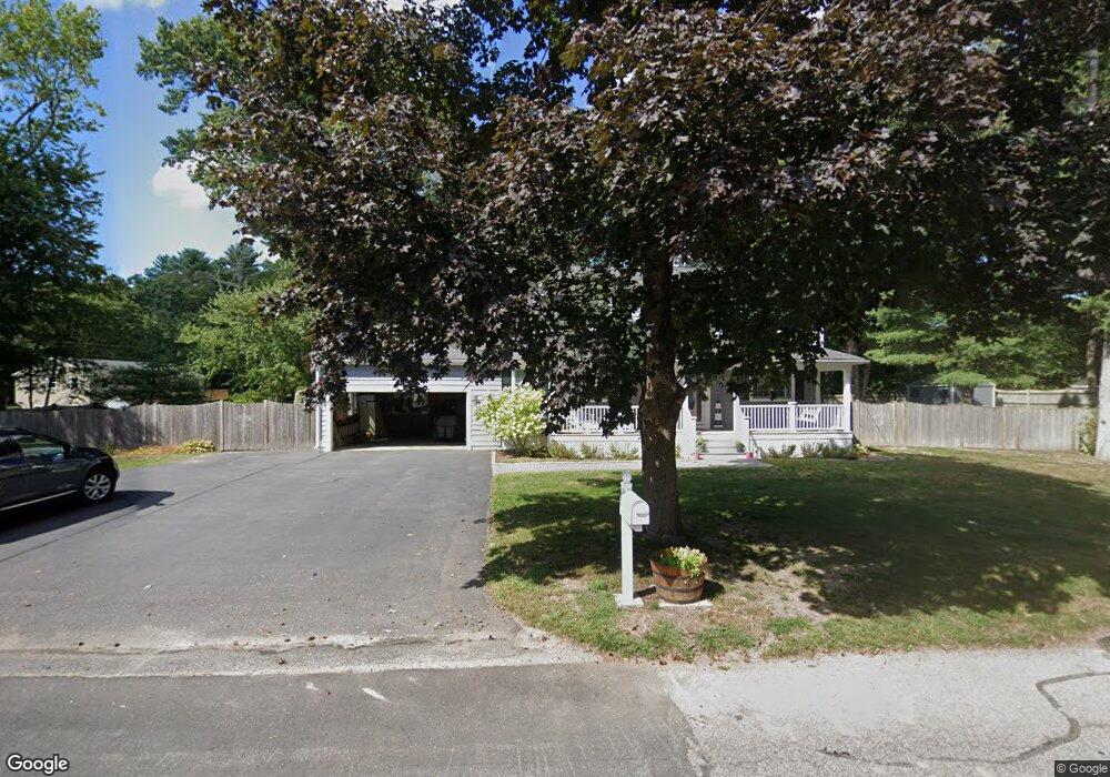
56 Hall Dr Norwell, MA 02061
Estimated Value: $847,689 - $1,067,000
4
Beds
3
Baths
1,918
Sq Ft
$476/Sq Ft
Est. Value
About This Home
This home is located at 56 Hall Dr, Norwell, MA 02061 and is currently estimated at $912,422, approximately $475 per square foot. 56 Hall Dr is a home located in Plymouth County with nearby schools including Grace Farrar Cole Elementary School, Norwell Middle School, and Norwell High School.
Ownership History
Date
Name
Owned For
Owner Type
Purchase Details
Closed on
Dec 2, 1993
Sold by
Agneta James W and Agneta Lillian T
Bought by
Delugan Jamie R and Delugan Christine M
Current Estimated Value
Create a Home Valuation Report for This Property
The Home Valuation Report is an in-depth analysis detailing your home's value as well as a comparison with similar homes in the area
Home Values in the Area
Average Home Value in this Area
Purchase History
| Date | Buyer | Sale Price | Title Company |
|---|---|---|---|
| Delugan Jamie R | $213,500 | -- |
Source: Public Records
Mortgage History
| Date | Status | Borrower | Loan Amount |
|---|---|---|---|
| Open | Delugan Jamie R | $200,000 | |
| Closed | Delugan Jamie R | $110,000 | |
| Closed | Delugan Jamie R | $175,000 | |
| Closed | Delugan Jamie R | $145,000 |
Source: Public Records
Tax History Compared to Growth
Tax History
| Year | Tax Paid | Tax Assessment Tax Assessment Total Assessment is a certain percentage of the fair market value that is determined by local assessors to be the total taxable value of land and additions on the property. | Land | Improvement |
|---|---|---|---|---|
| 2025 | $9,103 | $696,500 | $351,600 | $344,900 |
| 2024 | $8,742 | $649,500 | $331,700 | $317,800 |
| 2023 | $8,133 | $531,900 | $255,100 | $276,800 |
| 2022 | $8,031 | $483,200 | $221,800 | $261,400 |
| 2021 | $4,953 | $459,800 | $233,500 | $226,300 |
| 2020 | $7,565 | $454,900 | $233,500 | $221,400 |
| 2019 | $7,229 | $440,800 | $233,500 | $207,300 |
| 2018 | $4,602 | $402,700 | $213,600 | $189,100 |
| 2017 | $6,624 | $402,700 | $213,600 | $189,100 |
| 2016 | $6,466 | $391,900 | $213,600 | $178,300 |
| 2015 | $6,084 | $368,700 | $204,000 | $164,700 |
| 2014 | $5,811 | $355,000 | $204,100 | $150,900 |
Source: Public Records
Map
Nearby Homes
- 80 Coolidge Rd
- 214 Washington St Unit 28
- 150 High St
- 1239 Main St
- 62 High St
- 375 Webster St
- 7 Assinippi Ave Unit 216
- 7 Assinippi Ave Unit 306
- 55 Turner Rd
- 43 Simmons Rd
- 9 Damon Farm Way Unit 9
- 225 Prospect St
- 276 Woodland Dr
- 251 Prospect St
- 141 Deerfield Ln
- 1193 Main St Unit C1
- 983 Webster St
- 118 Bates Way
- 1015 Webster St
- 114 Main St