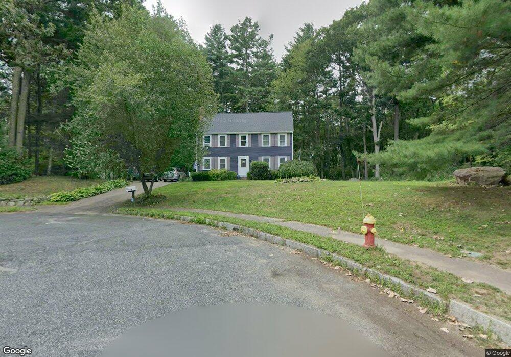
56 King Arthur Way Mansfield, MA 02048
Estimated Value: $763,965 - $865,000
3
Beds
3
Baths
1,902
Sq Ft
$430/Sq Ft
Est. Value
About This Home
This home is located at 56 King Arthur Way, Mansfield, MA 02048 and is currently estimated at $817,991, approximately $430 per square foot. 56 King Arthur Way is a home located in Bristol County with nearby schools including Everett W. Robinson Elementary School, Jordan/Jackson Elementary School, and Harold L. Qualters Middle School.
Ownership History
Date
Name
Owned For
Owner Type
Purchase Details
Closed on
Dec 11, 2017
Sold by
Ramondi Amy E and Ramondi Stephen E
Bought by
Ramondi T
Current Estimated Value
Purchase Details
Closed on
Jul 1, 1991
Sold by
Flanagan David A and Flanagan Patricia
Bought by
Ramondi Stephen F and Ramondi Amy
Home Financials for this Owner
Home Financials are based on the most recent Mortgage that was taken out on this home.
Original Mortgage
$135,000
Interest Rate
9.44%
Mortgage Type
Purchase Money Mortgage
Purchase Details
Closed on
Feb 17, 1989
Sold by
J & S Rt
Bought by
Flanagan David A
Home Financials for this Owner
Home Financials are based on the most recent Mortgage that was taken out on this home.
Original Mortgage
$170,000
Interest Rate
10.77%
Mortgage Type
Purchase Money Mortgage
Create a Home Valuation Report for This Property
The Home Valuation Report is an in-depth analysis detailing your home's value as well as a comparison with similar homes in the area
Home Values in the Area
Average Home Value in this Area
Purchase History
| Date | Buyer | Sale Price | Title Company |
|---|---|---|---|
| Ramondi T | -- | -- | |
| Ramondi Stephen F | $184,000 | -- | |
| Flanagan David A | $229,800 | -- |
Source: Public Records
Mortgage History
| Date | Status | Borrower | Loan Amount |
|---|---|---|---|
| Previous Owner | Flanagan David A | $134,000 | |
| Previous Owner | Flanagan David A | $135,000 | |
| Previous Owner | Flanagan David A | $170,000 |
Source: Public Records
Tax History Compared to Growth
Tax History
| Year | Tax Paid | Tax Assessment Tax Assessment Total Assessment is a certain percentage of the fair market value that is determined by local assessors to be the total taxable value of land and additions on the property. | Land | Improvement |
|---|---|---|---|---|
| 2025 | $8,769 | $665,800 | $312,400 | $353,400 |
| 2024 | $8,807 | $652,400 | $325,100 | $327,300 |
| 2023 | $8,610 | $611,100 | $325,100 | $286,000 |
| 2022 | $8,344 | $550,000 | $302,600 | $247,400 |
| 2021 | $3,818 | $516,900 | $251,800 | $265,100 |
| 2020 | $7,834 | $510,000 | $251,800 | $258,200 |
| 2019 | $7,201 | $473,100 | $212,600 | $260,500 |
| 2018 | $2,857 | $459,500 | $203,700 | $255,800 |
| 2017 | $6,718 | $447,300 | $198,500 | $248,800 |
| 2016 | $6,469 | $419,800 | $189,600 | $230,200 |
| 2015 | $6,326 | $408,100 | $189,600 | $218,500 |
Source: Public Records
Map
Nearby Homes
- 52 King Arthur Way
- 55 King Arthur Way
- 48 King Arthur Way
- 51 King Arthur Way
- 44 King Arthur Way
- 47 King Arthur Way
- 11 Smith Rd
- 7 Smith Rd
- 10 Trowbridge Ln
- 43 King Arthur Way
- 15 Smith Rd
- 40 King Arthur Way
- 14 Trowbridge Ln
- 3 Smith Rd
- 19 Smith Rd
- 39 King Arthur Way
- 10 Smith Rd
- 20 Lancelot Ln
- 9 Trowbridge Ln
- 23 Smith Rd