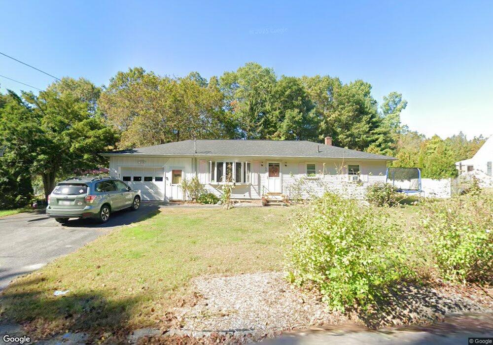
56 Lancaster Rd Clinton, MA 01510
Estimated Value: $401,991 - $490,000
3
Beds
1
Bath
1,040
Sq Ft
$426/Sq Ft
Est. Value
About This Home
This home is located at 56 Lancaster Rd, Clinton, MA 01510 and is currently estimated at $442,748, approximately $425 per square foot. 56 Lancaster Rd is a home located in Worcester County with nearby schools including Clinton Elementary School, Clinton Senior High School, and Clinton Middle School.
Ownership History
Date
Name
Owned For
Owner Type
Purchase Details
Closed on
Nov 20, 2020
Sold by
Ritcher Francis Est
Bought by
Richter Natalie F
Current Estimated Value
Home Financials for this Owner
Home Financials are based on the most recent Mortgage that was taken out on this home.
Original Mortgage
$205,600
Outstanding Balance
$182,955
Interest Rate
2.8%
Mortgage Type
New Conventional
Estimated Equity
$259,793
Purchase Details
Closed on
Sep 17, 1971
Bought by
Richter Frances C
Create a Home Valuation Report for This Property
The Home Valuation Report is an in-depth analysis detailing your home's value as well as a comparison with similar homes in the area
Home Values in the Area
Average Home Value in this Area
Purchase History
| Date | Buyer | Sale Price | Title Company |
|---|---|---|---|
| Richter Natalie F | $257,000 | None Available | |
| Richter Frances C | $27,500 | -- |
Source: Public Records
Mortgage History
| Date | Status | Borrower | Loan Amount |
|---|---|---|---|
| Open | Richter Natalie F | $205,600 |
Source: Public Records
Tax History Compared to Growth
Tax History
| Year | Tax Paid | Tax Assessment Tax Assessment Total Assessment is a certain percentage of the fair market value that is determined by local assessors to be the total taxable value of land and additions on the property. | Land | Improvement |
|---|---|---|---|---|
| 2025 | $4,663 | $350,600 | $118,200 | $232,400 |
| 2024 | $4,372 | $332,700 | $118,200 | $214,500 |
| 2023 | $4,079 | $305,100 | $107,400 | $197,700 |
| 2022 | $4,130 | $277,000 | $97,600 | $179,400 |
| 2021 | $4,119 | $258,400 | $93,000 | $165,400 |
| 2020 | $4,003 | $258,400 | $93,000 | $165,400 |
| 2019 | $3,807 | $239,000 | $90,300 | $148,700 |
| 2018 | $3,749 | $220,800 | $90,300 | $130,500 |
| 2017 | $3,720 | $210,500 | $90,300 | $120,200 |
| 2016 | $3,546 | $205,300 | $90,300 | $115,000 |
| 2015 | $3,152 | $189,200 | $87,700 | $101,500 |
| 2014 | $3,007 | $186,200 | $87,700 | $98,500 |
Source: Public Records
Map
Nearby Homes
- 107 Ridgefield Cir Unit D
- 103 Ridgefield Cir Unit B
- 200 Ridgefield Cir Unit C
- 18 Sargent Rd
- 920 Ridgefield Cir Unit C
- 921 Ridgefield Cir Unit C
- 405 Ridgefield Cir Unit C
- 525 Water St
- 12 Woodruff Rd
- 172 Ballville Rd
- 4 Jackie Way
- 108 Oak Trail
- 167 Lancaster Rd
- 63 Settlers Path
- 346 Oak St
- 118 Chace St
- 57 Sunset Ridge Ln Unit 57
- 453 Blue Heron Dr Unit 453
- 89 1/2 Walnut St
- 28 Lindbergh St
- 54 Lancaster Rd
- 58 Lancaster Rd
- 10 Horseshoe Ln
- 12 Horseshoe Ln
- 8 Horseshoe Ln
- 52 Lancaster Rd
- 60 Lancaster Rd
- 51 Lancaster Rd
- 14 Horseshoe Ln
- 62 Lancaster Rd
- 9 Horseshoe Ln
- 48 Lancaster Rd
- 13 Horseshoe Ln
- 16 Horseshoe Ln
- 5 Horseshoe Ln
- 64 Lancaster Rd
- 15 Horseshoe Ln
- 4 Horseshoe Ln
- 55 Lancaster Rd
- 53 Lancaster Rd Unit 10