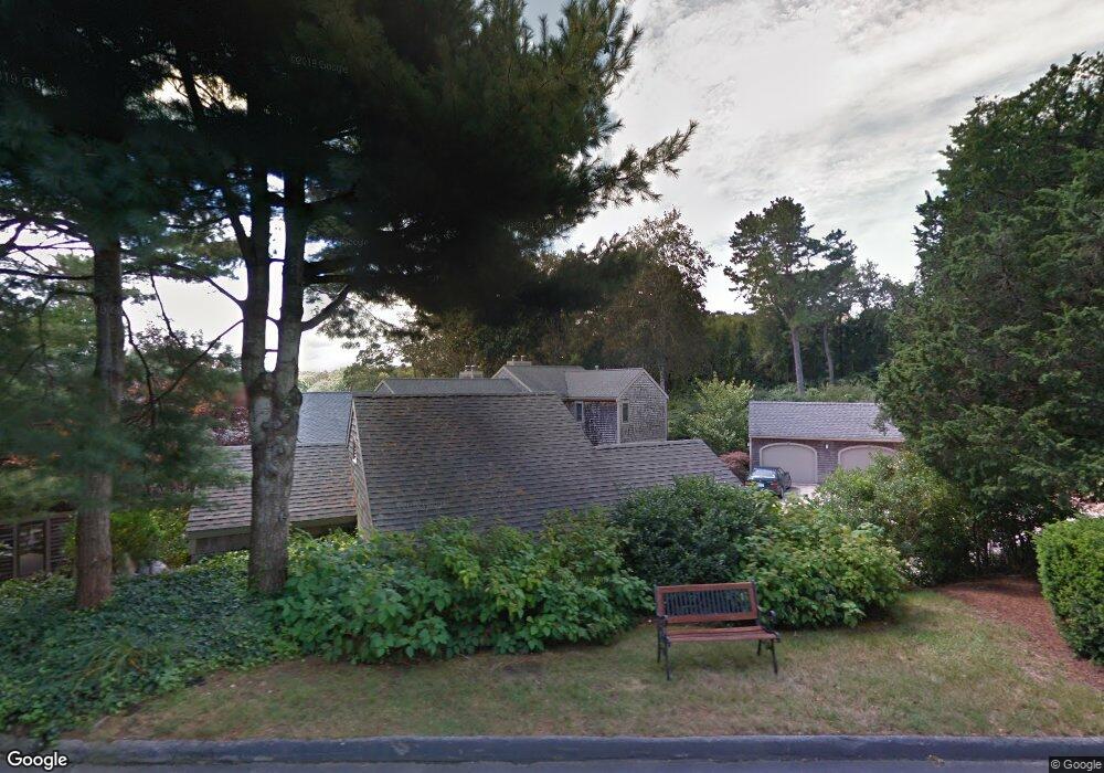
56 Landfall Falmouth, MA 02540
Falmouth Village NeighborhoodEstimated Value: $600,000 - $985,000
3
Beds
2
Baths
1,446
Sq Ft
$563/Sq Ft
Est. Value
About This Home
This home is located at 56 Landfall, Falmouth, MA 02540 and is currently estimated at $814,606, approximately $563 per square foot. 56 Landfall is a home located in Barnstable County with nearby schools including Mullen-Hall School, Lawrence School, and Morse Pond School.
Ownership History
Date
Name
Owned For
Owner Type
Purchase Details
Closed on
Apr 28, 2023
Sold by
Rhea Bker Ret 1987
Bought by
Rjs Banker Llc
Current Estimated Value
Purchase Details
Closed on
Feb 19, 1991
Sold by
Kaye Allan S and Kaye Leatrice J
Bought by
Banker David
Home Financials for this Owner
Home Financials are based on the most recent Mortgage that was taken out on this home.
Original Mortgage
$160,000
Interest Rate
9.46%
Mortgage Type
Purchase Money Mortgage
Purchase Details
Closed on
Aug 22, 1988
Sold by
Rice Neil W
Bought by
Kaye Allan S
Home Financials for this Owner
Home Financials are based on the most recent Mortgage that was taken out on this home.
Original Mortgage
$160,000
Interest Rate
10.32%
Mortgage Type
Purchase Money Mortgage
Create a Home Valuation Report for This Property
The Home Valuation Report is an in-depth analysis detailing your home's value as well as a comparison with similar homes in the area
Home Values in the Area
Average Home Value in this Area
Purchase History
| Date | Buyer | Sale Price | Title Company |
|---|---|---|---|
| Rjs Banker Llc | -- | None Available | |
| Banker David | $224,000 | -- | |
| Kaye Allan S | $330,000 | -- |
Source: Public Records
Mortgage History
| Date | Status | Borrower | Loan Amount |
|---|---|---|---|
| Previous Owner | Kaye Allan S | $80,000 | |
| Previous Owner | Kaye Allan S | $160,000 | |
| Previous Owner | Kaye Allan S | $160,000 |
Source: Public Records
Tax History Compared to Growth
Tax History
| Year | Tax Paid | Tax Assessment Tax Assessment Total Assessment is a certain percentage of the fair market value that is determined by local assessors to be the total taxable value of land and additions on the property. | Land | Improvement |
|---|---|---|---|---|
| 2025 | $4,385 | $747,100 | $0 | $747,100 |
| 2024 | $4,051 | $645,100 | $0 | $645,100 |
| 2023 | $4,182 | $604,300 | $0 | $604,300 |
| 2022 | $1,884 | $570,300 | $0 | $570,300 |
| 2021 | $4,075 | $479,400 | $0 | $479,400 |
| 2020 | $4,118 | $479,400 | $0 | $479,400 |
| 2019 | $4,229 | $494,000 | $0 | $494,000 |
| 2018 | $4,087 | $475,200 | $0 | $475,200 |
| 2017 | $4,047 | $474,500 | $0 | $474,500 |
| 2016 | $4,105 | $490,500 | $0 | $490,500 |
| 2015 | $4,017 | $490,500 | $0 | $490,500 |
| 2014 | $3,506 | $430,200 | $0 | $430,200 |
Source: Public Records
Map
Nearby Homes
- 38 Landfall Unit 38
- 38 Landfall
- 251 Woods Hole Rd
- 87 Oyster Pond Rd
- 44 Carey Ln
- 15 Hedge Ln
- 45 Haynes Ave
- 27 Upland Ave
- 71 Main St
- 65 Walker St
- 98 Main St
- 98 Main St Unit 1
- 76 F r Lillie Rd
- 30 Katherine Lee Bates Rd
- 29 Wilson Rd
- 33 Oakwood Ave
- 10 Shanks Pond Rd
- 480 Main St Unit 1
- 54 Whitman Rd
- 110 Dillingham Ave Unit 322
- 54 Landfall
- 52 Landfall
- 54 Landfall Unit 7-2
- 54 Landfall Unit 54
- 0 Landfall Unit 36
- 66 Landfall
- 64 Landfall
- 62 Landfall
- 60 Landfall
- 64 Landfall Unit 64
- 60 Landfall Unit 60
- 66 Landfall Unit 66
- 64 Landfall Unit 8-3
- 66 Landfall Unit 9-1
- 60 Landfall Unit 1
- 50 Landfall
- 48 Landfall
- 46 Landfall
- 44 Landfall
- 42 Landfall