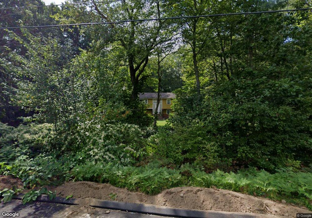
56 Laurel Ridge Rd Tolland, CT 06084
Estimated Value: $384,000 - $411,897
3
Beds
3
Baths
1,200
Sq Ft
$330/Sq Ft
Est. Value
About This Home
This home is located at 56 Laurel Ridge Rd, Tolland, CT 06084 and is currently estimated at $396,224, approximately $330 per square foot. 56 Laurel Ridge Rd is a home located in Tolland County with nearby schools including Birch Grove Primary School, Tolland Intermediate School, and Tolland Middle School.
Ownership History
Date
Name
Owned For
Owner Type
Purchase Details
Closed on
Oct 24, 2005
Sold by
Cox Robert and Cox Malinda
Bought by
Coombs Frank and Coombs Jodi
Current Estimated Value
Home Financials for this Owner
Home Financials are based on the most recent Mortgage that was taken out on this home.
Original Mortgage
$207,900
Outstanding Balance
$110,997
Interest Rate
5.72%
Mortgage Type
Purchase Money Mortgage
Estimated Equity
$285,227
Purchase Details
Closed on
Aug 31, 2001
Sold by
Waterhouse John and Waterhouse Suzanne
Bought by
Cox Robert and Cox Malinda
Purchase Details
Closed on
Feb 3, 1997
Sold by
Damman Antoni
Bought by
Waterhouse John and Waterhouse Suzanne
Create a Home Valuation Report for This Property
The Home Valuation Report is an in-depth analysis detailing your home's value as well as a comparison with similar homes in the area
Home Values in the Area
Average Home Value in this Area
Purchase History
| Date | Buyer | Sale Price | Title Company |
|---|---|---|---|
| Coombs Frank | $260,000 | -- | |
| Coombs Frank | $260,000 | -- | |
| Cox Robert | $165,000 | -- | |
| Cox Robert | $165,000 | -- | |
| Waterhouse John | $125,000 | -- | |
| Waterhouse John | $125,000 | -- |
Source: Public Records
Mortgage History
| Date | Status | Borrower | Loan Amount |
|---|---|---|---|
| Open | Waterhouse John | $207,900 | |
| Closed | Waterhouse John | $39,000 | |
| Closed | Waterhouse John | $207,900 |
Source: Public Records
Tax History Compared to Growth
Tax History
| Year | Tax Paid | Tax Assessment Tax Assessment Total Assessment is a certain percentage of the fair market value that is determined by local assessors to be the total taxable value of land and additions on the property. | Land | Improvement |
|---|---|---|---|---|
| 2025 | $5,612 | $206,400 | $65,600 | $140,800 |
| 2024 | $5,416 | $143,400 | $62,500 | $80,900 |
| 2023 | $5,353 | $143,400 | $62,500 | $80,900 |
| 2022 | $5,246 | $143,400 | $62,500 | $80,900 |
| 2021 | $5,322 | $143,400 | $62,500 | $80,900 |
| 2020 | $5,170 | $143,400 | $62,500 | $80,900 |
| 2019 | $4,928 | $136,700 | $64,500 | $72,200 |
| 2018 | $4,785 | $136,700 | $64,500 | $72,200 |
| 2017 | $4,674 | $136,700 | $64,500 | $72,200 |
| 2016 | $4,674 | $136,700 | $64,500 | $72,200 |
Source: Public Records
Map
Nearby Homes
- 197 New Rd
- 208 New Rd
- 28 Columbine Rd
- 64 Columbine Rd
- 15 Elm Rd
- 93 Dockerel Rd
- 109 Timber Trail
- 50 Josephine Way
- 39 Josephine Way
- 38 Josephine Way
- 15 Carter Dr
- 32 Josephine Way
- 26 Josephine Way
- 41 Timber Trail
- 69 Tolland Farms Rd
- 95 Old Kent Rd N
- 247 Mountain Spring Rd
- 129 Mile Hill Rd
- 4 Elgin Dr
- 101 Dockerel Rd
- 75 Lawlor Rd
- 48 Laurel Ridge Rd
- 51 Laurel Ridge Rd
- 81 Lawlor Rd
- 30 White Birch Dr
- 76 Lawlor Rd
- 64 Lawlor Rd
- 59 Lawlor Rd
- 42 Laurel Ridge Rd
- 36 Laurel Ridge Rd
- 35 Laurel Ridge Rd
- 25 White Birch Dr
- 56 Lawlor Rd
- 35 White Birch Dr
- 88 Lawlor Rd
- 89 Lawlor Rd
- 24 White Birch Dr
- 29 White Birch Dr
- 23 Laurel Ridge Rd
- 20 Blueberry Hill Rd