56 Little Dr Litchfield, ME 04350
Estimated Value: $225,000 - $337,000
2
Beds
1
Bath
782
Sq Ft
$377/Sq Ft
Est. Value
About This Home
This home is located at 56 Little Dr, Litchfield, ME 04350 and is currently estimated at $295,007, approximately $377 per square foot. 56 Little Dr is a home located in Kennebec County with nearby schools including Libby-Tozier School, Sabattus Primary School, and Carrie Ricker School.
Ownership History
Date
Name
Owned For
Owner Type
Purchase Details
Closed on
Nov 8, 2011
Sold by
Ouellette Anna M
Bought by
Ouellette Aaron B and Oubellette Anna M
Current Estimated Value
Purchase Details
Closed on
Jul 26, 2006
Sold by
Dionne Amy S and Dionne Noah E
Bought by
Lachance Brian L and Ouellette Anne M
Home Financials for this Owner
Home Financials are based on the most recent Mortgage that was taken out on this home.
Original Mortgage
$116,850
Outstanding Balance
$69,811
Interest Rate
6.67%
Mortgage Type
Commercial
Estimated Equity
$225,196
Create a Home Valuation Report for This Property
The Home Valuation Report is an in-depth analysis detailing your home's value as well as a comparison with similar homes in the area
Home Values in the Area
Average Home Value in this Area
Purchase History
| Date | Buyer | Sale Price | Title Company |
|---|---|---|---|
| Ouellette Aaron B | -- | -- | |
| Lachance Brian L | -- | -- |
Source: Public Records
Mortgage History
| Date | Status | Borrower | Loan Amount |
|---|---|---|---|
| Open | Lachance Brian L | $116,850 |
Source: Public Records
Tax History Compared to Growth
Tax History
| Year | Tax Paid | Tax Assessment Tax Assessment Total Assessment is a certain percentage of the fair market value that is determined by local assessors to be the total taxable value of land and additions on the property. | Land | Improvement |
|---|---|---|---|---|
| 2024 | $2,321 | $162,900 | $54,000 | $108,900 |
| 2023 | $2,199 | $162,900 | $54,000 | $108,900 |
| 2022 | $2,136 | $135,900 | $45,000 | $90,900 |
| 2021 | $1,920 | $135,900 | $45,000 | $90,900 |
| 2020 | $1,930 | $135,900 | $45,000 | $90,900 |
| 2019 | $1,903 | $135,900 | $45,000 | $90,900 |
| 2018 | $1,838 | $113,831 | $40,000 | $73,831 |
| 2017 | $1,839 | $113,849 | $40,000 | $73,849 |
| 2016 | $1,853 | $114,710 | $40,000 | $74,710 |
| 2015 | $1,784 | $114,728 | $40,000 | $74,728 |
| 2014 | $1,647 | $115,589 | $40,000 | $75,589 |
| 2013 | $1,422 | $115,606 | $40,000 | $75,606 |
Source: Public Records
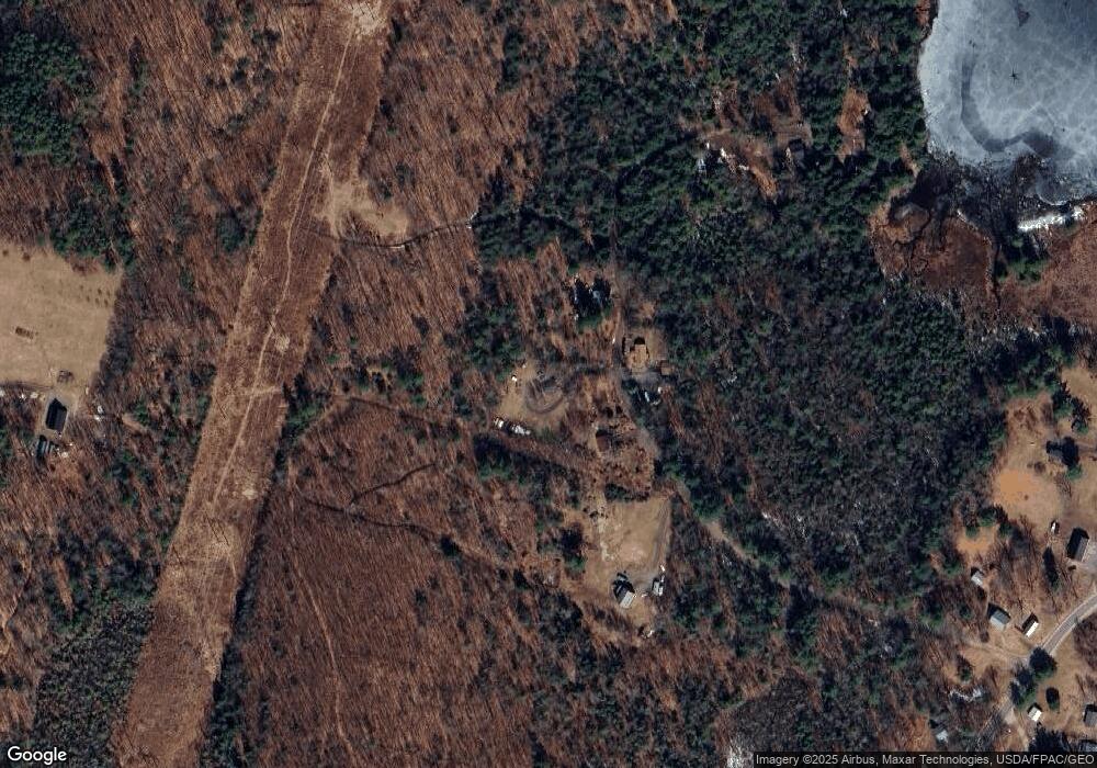
Map
Nearby Homes
- 105 Whippoorwill Rd
- 16 Maple Ridge Dr
- 47 Fickett Dr
- 13 Cove Dr
- Lot 8D Hallowell Rd
- 305 Peacepipe Dr
- 33-34 Gerber Ln
- 33 Gerber Ln
- 34 Gerber Ln
- 0 Route 9-126 Litchfield Dr Unit 1604469
- 18 Lintonia Dr Unit 17
- 7 Lintonia Dr Unit 7
- 1809 Lewiston Rd
- 0 Rd Unit 1590643
- 69 Scott Dr
- 42 Chipmunk
- 46 Chipmunk Ln
- 18 Huntington Hill Rd
- 151 Johnson Ln
- Lot 12 Hallowell Rd