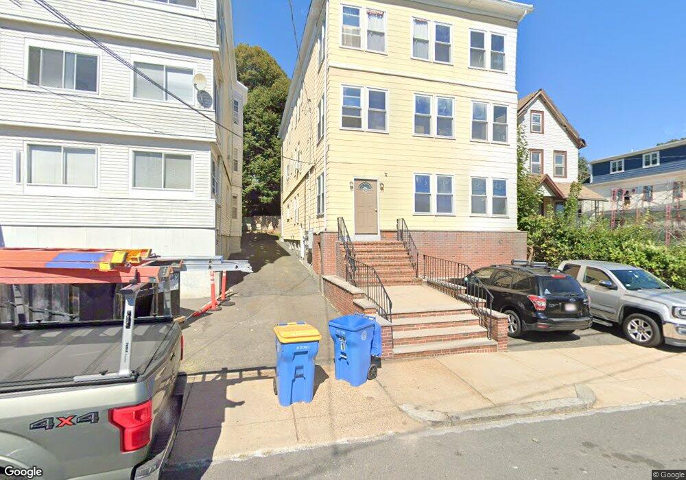
56 Locust St Unit 2 Winthrop, MA 02152
Downtown Winthrop NeighborhoodEstimated Value: $945,495 - $1,236,000
4
Beds
1
Bath
1,587
Sq Ft
$703/Sq Ft
Est. Value
About This Home
This home is located at 56 Locust St Unit 2, Winthrop, MA 02152 and is currently estimated at $1,116,124, approximately $703 per square foot. 56 Locust St Unit 2 is a home located in Suffolk County with nearby schools including William P. Gorman/Fort Banks Elementary School, Arthur T. Cummings Elementary School, and Winthrop Middle School.
Ownership History
Date
Name
Owned For
Owner Type
Purchase Details
Closed on
Dec 16, 2025
Sold by
Clemente Anthony
Bought by
56 Locust Street Rt and Clemente
Current Estimated Value
Purchase Details
Closed on
Oct 17, 2003
Sold by
Mitrano Joseph
Bought by
Mitrano Joseph and Wehle Ellen E
Create a Home Valuation Report for This Property
The Home Valuation Report is an in-depth analysis detailing your home's value as well as a comparison with similar homes in the area
Home Values in the Area
Average Home Value in this Area
Purchase History
| Date | Buyer | Sale Price | Title Company |
|---|---|---|---|
| 56 Locust Street Rt | -- | -- | |
| Mitrano Joseph | -- | -- |
Source: Public Records
Mortgage History
| Date | Status | Borrower | Loan Amount |
|---|---|---|---|
| Previous Owner | Mitrano Joseph | $75,000 | |
| Previous Owner | Mitrano Joseph | $25,000 |
Source: Public Records
Tax History
| Year | Tax Paid | Tax Assessment Tax Assessment Total Assessment is a certain percentage of the fair market value that is determined by local assessors to be the total taxable value of land and additions on the property. | Land | Improvement |
|---|---|---|---|---|
| 2025 | $9,152 | $886,800 | $337,700 | $549,100 |
| 2024 | $9,074 | $870,800 | $324,600 | $546,200 |
| 2023 | $8,729 | $815,800 | $297,100 | $518,700 |
| 2022 | $8,525 | $724,900 | $265,400 | $459,500 |
| 2021 | $8,345 | $658,100 | $237,000 | $421,100 |
| 2020 | $7,595 | $601,800 | $237,000 | $364,800 |
| 2019 | $7,296 | $553,600 | $218,400 | $335,200 |
| 2018 | $7,192 | $507,900 | $187,500 | $320,400 |
| 2017 | $6,668 | $462,700 | $165,900 | $296,800 |
| 2016 | $6,552 | $426,300 | $144,300 | $282,000 |
| 2015 | $5,713 | $398,400 | $140,100 | $258,300 |
| 2014 | $5,962 | $382,700 | $130,300 | $252,400 |
Source: Public Records
Map
Nearby Homes
- 43 Sagamore Ave Unit 1
- 140 Shirley St Unit 201
- 140 Shirley St Unit 309
- 140 Shirley St Unit 310
- 140 Shirley St Unit 204
- 130 Shirley St Unit 202
- 47 Highland Ave
- 203 Winthrop Shore Dr Unit 2
- 100 Governors Dr Unit 118
- 800 Governors Dr Unit 6
- 441 Winthrop St
- 426 Winthrop St
- 22 Upland Rd
- 53 Trident Ave Unit 204
- 37 Trident Ave
- 201 Cliff Ave
- 50-52 Wilshire St
- 279 Shirley St Unit 2
- 3 Seal Harbor Rd Unit 344
- 3 Seal Harbor Rd Unit 133
- 56 Locust St
- 62 Locust St
- 62 Locust St Unit 1
- 54 Locust St
- 54 Locust St Unit 2
- 52 Locust St
- 52 Locust St Unit 3
- 68 Locust St
- 47 Summit Ave
- 61 Locust St
- 44 Locust St Unit Rear
- 44 Locust St Unit 2
- 44 Locust St Unit 1
- 74 Locust St
- 74 Locust St Unit B
- 74 Locust St Unit 2
- 46 Locust St
- 53 Locust St
- 53 Summit Ave
- 59 Summit Ave
Your Personal Tour Guide
Ask me questions while you tour the home.