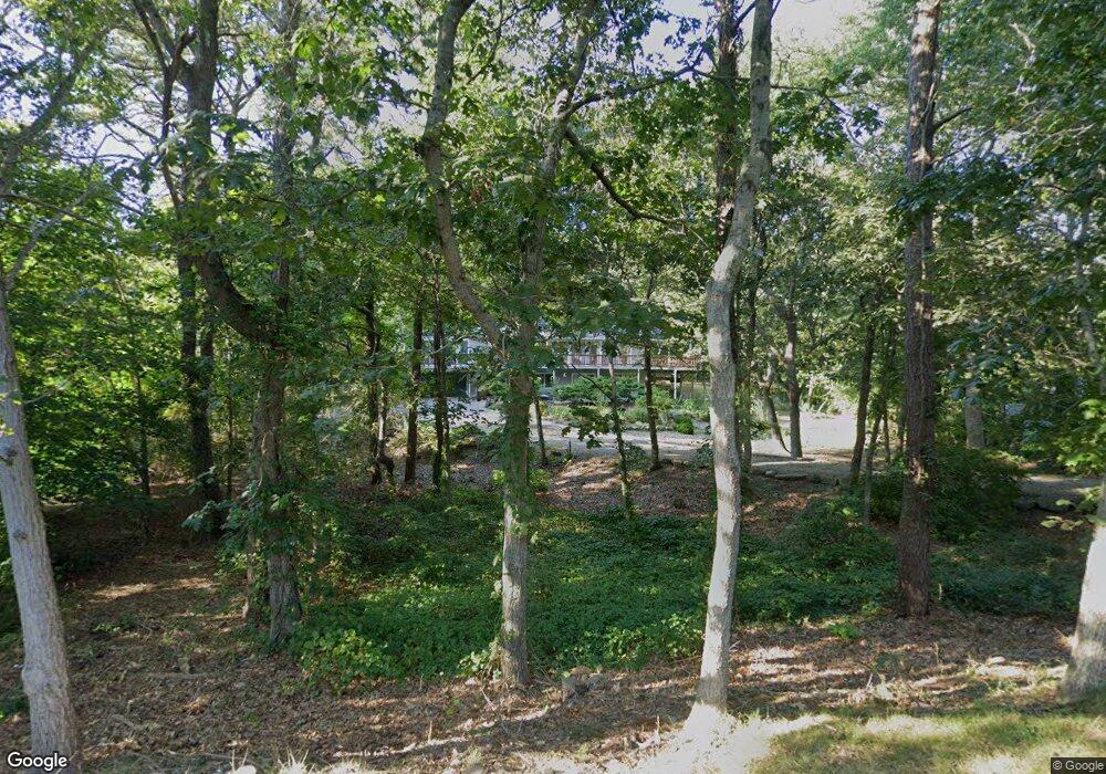
56 Longfellow Dr Yarmouth Port, MA 02675
Yarmouth Port NeighborhoodEstimated Value: $697,000 - $788,000
3
Beds
3
Baths
2,201
Sq Ft
$339/Sq Ft
Est. Value
About This Home
This home is located at 56 Longfellow Dr, Yarmouth Port, MA 02675 and is currently estimated at $746,086, approximately $338 per square foot. 56 Longfellow Dr is a home located in Barnstable County with nearby schools including Dennis-Yarmouth Regional High School.
Ownership History
Date
Name
Owned For
Owner Type
Purchase Details
Closed on
Sep 23, 2014
Sold by
Stanton Robert L
Bought by
Stanton Robert L and Butler Janice I
Current Estimated Value
Purchase Details
Closed on
May 23, 1997
Sold by
Stanton Robert L and Stanton Leslie A
Bought by
Stanton Robert L
Purchase Details
Closed on
Jun 15, 1993
Sold by
Berkshire County Sb
Bought by
Stanton Robert L and Stanton Leslie A
Create a Home Valuation Report for This Property
The Home Valuation Report is an in-depth analysis detailing your home's value as well as a comparison with similar homes in the area
Home Values in the Area
Average Home Value in this Area
Purchase History
| Date | Buyer | Sale Price | Title Company |
|---|---|---|---|
| Stanton Robert L | -- | -- | |
| Stanton Robert L | $25,000 | -- | |
| Stanton Robert L | $132,500 | -- |
Source: Public Records
Mortgage History
| Date | Status | Borrower | Loan Amount |
|---|---|---|---|
| Previous Owner | Stanton Robert L | $188,000 | |
| Previous Owner | Stanton Robert L | $50,000 | |
| Previous Owner | Stanton Robert L | $97,000 |
Source: Public Records
Tax History Compared to Growth
Tax History
| Year | Tax Paid | Tax Assessment Tax Assessment Total Assessment is a certain percentage of the fair market value that is determined by local assessors to be the total taxable value of land and additions on the property. | Land | Improvement |
|---|---|---|---|---|
| 2025 | $4,688 | $662,200 | $172,800 | $489,400 |
| 2024 | $4,429 | $600,100 | $150,300 | $449,800 |
| 2023 | $4,342 | $535,400 | $136,600 | $398,800 |
| 2022 | $4,115 | $448,300 | $130,400 | $317,900 |
| 2021 | $3,826 | $400,200 | $130,400 | $269,800 |
| 2020 | $3,790 | $379,000 | $138,000 | $241,000 |
| 2019 | $3,477 | $344,300 | $138,000 | $206,300 |
| 2018 | $3,306 | $321,300 | $115,000 | $206,300 |
| 2017 | $3,219 | $321,300 | $115,000 | $206,300 |
| 2016 | $3,115 | $312,100 | $105,800 | $206,300 |
| 2015 | $3,213 | $320,000 | $101,200 | $218,800 |
Source: Public Records
Map
Nearby Homes
- 51 Bray Farm Rd N
- 59 Massachusetts 6a Unit 19-2
- 59 Main St Unit 19-2
- 59 Route 6a Unit 29-4
- 42 John Hall Cartway Unit 42
- 50 John Hall Cartway
- 50 John Hall Cartway Unit 50
- 64 Kates Path
- 268 Main St
- 228 Kates Path
- 34 Kates Path
- 34 Kates Path Unit 34
- 17 Kates Path Unit A
- 44 Stratford Ln
- 6 Nimble Hill Dr
- 43 Canterbury Rd
- 7 Forest Gate Unit 7
- 30 W Woods
- 30 W Woods Cir Unit 30
- 25 Oak Glen Village Unit 25
- 41 Hillcrest Rd
- 70 Longfellow Dr
- 76 Longfellow Dr
- 50 Longfellow Dr
- 35 Hillcrest Rd
- 57 Longfellow Dr
- 51 Longfellow Dr
- 73 Longfellow Dr
- 67 Longfellow Dr
- 42 Longfellow Dr
- 44 Hillcrest Rd
- 25 Hillcrest Rd
- 50 Hillcrest Rd
- 35 Old Castle Rd
- 63 Longfellow Dr
- 38 Hillcrest Rd
- 43 Longfellow Dr
- 35 Campion Rd
- 85 Longfellow Dr
- 32 Hillcrest Rd