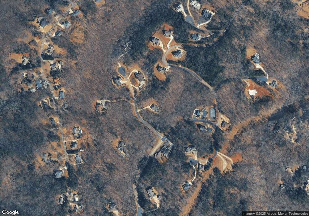
56 Madeline Anthony Rd Dahlonega, GA 30533
Estimated Value: $544,448 - $701,000
--
Bed
1
Bath
2,745
Sq Ft
$223/Sq Ft
Est. Value
About This Home
This home is located at 56 Madeline Anthony Rd, Dahlonega, GA 30533 and is currently estimated at $611,362, approximately $222 per square foot. 56 Madeline Anthony Rd is a home with nearby schools including Lumpkin County High School.
Ownership History
Date
Name
Owned For
Owner Type
Purchase Details
Closed on
Jul 30, 2020
Sold by
Bennett John C
Bought by
Cloer Gerald B and Cloer Linda S
Current Estimated Value
Purchase Details
Closed on
Jul 20, 2012
Sold by
Hardman Bill T
Bought by
Bennett John C
Purchase Details
Closed on
Jul 11, 2012
Sold by
Hardman Bill T Etal
Bought by
Bennett John C
Purchase Details
Closed on
Aug 17, 1998
Sold by
Lumpkin Crown Goup
Bought by
Hardman Bill T Etal
Create a Home Valuation Report for This Property
The Home Valuation Report is an in-depth analysis detailing your home's value as well as a comparison with similar homes in the area
Home Values in the Area
Average Home Value in this Area
Purchase History
| Date | Buyer | Sale Price | Title Company |
|---|---|---|---|
| Cloer Gerald B | $39,000 | -- | |
| Bennett John C | $49,990 | -- | |
| Bennett John C | $50,000 | -- | |
| Hardman Bill T Etal | $283,700 | -- |
Source: Public Records
Tax History Compared to Growth
Tax History
| Year | Tax Paid | Tax Assessment Tax Assessment Total Assessment is a certain percentage of the fair market value that is determined by local assessors to be the total taxable value of land and additions on the property. | Land | Improvement |
|---|---|---|---|---|
| 2024 | $2,656 | $184,458 | $18,000 | $166,458 |
| 2023 | $1,988 | $184,458 | $18,000 | $166,458 |
| 2022 | $5,635 | $184,458 | $18,000 | $166,458 |
| 2021 | $457 | $14,000 | $14,000 | $0 |
| 2020 | $339 | $10,000 | $10,000 | $0 |
| 2019 | $411 | $12,075 | $12,075 | $0 |
| 2018 | $440 | $12,075 | $12,075 | $0 |
| 2017 | $447 | $12,075 | $12,075 | $0 |
| 2016 | $457 | $12,075 | $12,075 | $0 |
| 2015 | $391 | $12,075 | $12,075 | $0 |
| 2014 | $391 | $12,075 | $12,075 | $0 |
| 2013 | -- | $12,075 | $12,075 | $0 |
Source: Public Records
Map
Nearby Homes
- 131 Chestatee Springs Ridge
- 40 Chestatee Springs Rd
- 5195 S Chestatee
- TRACT1 Panorama Dr
- 0 Long Branch Rd Unit 10271720
- 0 Long Branch Rd Unit 10271266
- 0 Long Branch Rd Unit 7357871
- 00 Long Branch Rd
- 71 Quartz Way
- 67 Quartz Way
- 103 Rockhound Dr
- 145 Hawks View
- 134 Rockhound Dr
- 0 Robinson Rd Unit 10597950
- 0 Robinson Rd Unit 7643549
- 70 Deerwood Cir
- 6038 S Chestatee
- 1050 Robinson Rd
- 134 Prospector Ridge
- 270 Prospector Ridge
- 81 Silas Rd
- 147 Silas Rd
- 62 Silas Rd
- 420 Silas Rd
- 404 Silas Rd
- 150 Silas Rd
- 102 Silas Rd
- 426 Silas Rd
- 410 Silas Rd
- 30 Silas Rd
- 115 Silas Rd
- 195 Silas Rd
- 430 Silas Rd
- 400 Silas Rd
- 257 Fox Hollow Rd
- 229 Fox Hollow Rd
- 410 Silas Rd Unit 16
- 165 Fox Hollow Rd
- 147 Chestatee Springs Ridge
- 147 Chestatee Springs Ln
