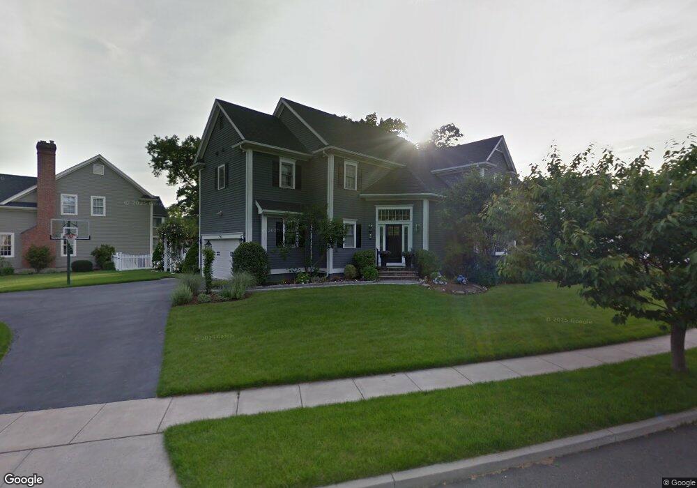
56 Mailands Rd Fairfield, CT 06824
University NeighborhoodEstimated Value: $1,512,552 - $1,771,000
5
Beds
3
Baths
3,326
Sq Ft
$489/Sq Ft
Est. Value
About This Home
This home is located at 56 Mailands Rd, Fairfield, CT 06824 and is currently estimated at $1,625,888, approximately $488 per square foot. 56 Mailands Rd is a home located in Fairfield County with nearby schools including Osborn Hill Elementary School, Fairfield Woods Middle School, and Fairfield Ludlowe High School.
Ownership History
Date
Name
Owned For
Owner Type
Purchase Details
Closed on
Aug 6, 2010
Sold by
Pasciuto Richard A and Pasciuto Mary E
Bought by
Mcclane James and Mcclane Kerey
Current Estimated Value
Purchase Details
Closed on
Oct 8, 1998
Sold by
Munson Bldrs
Bought by
Pasciuto Richard A and Pasciuto Mary E
Create a Home Valuation Report for This Property
The Home Valuation Report is an in-depth analysis detailing your home's value as well as a comparison with similar homes in the area
Home Values in the Area
Average Home Value in this Area
Purchase History
| Date | Buyer | Sale Price | Title Company |
|---|---|---|---|
| Mcclane James | $897,900 | -- | |
| Mcclane James | $897,900 | -- | |
| Pasciuto Richard A | $529,000 | -- | |
| Pasciuto Richard A | $529,000 | -- |
Source: Public Records
Mortgage History
| Date | Status | Borrower | Loan Amount |
|---|---|---|---|
| Open | Pasciuto Richard A | $601,450 | |
| Closed | Pasciuto Richard A | $90,500 |
Source: Public Records
Tax History
| Year | Tax Paid | Tax Assessment Tax Assessment Total Assessment is a certain percentage of the fair market value that is determined by local assessors to be the total taxable value of land and additions on the property. | Land | Improvement |
|---|---|---|---|---|
| 2025 | $15,525 | $546,840 | $268,870 | $277,970 |
| 2024 | $15,257 | $546,840 | $268,870 | $277,970 |
| 2023 | $15,044 | $546,840 | $268,870 | $277,970 |
| 2022 | $14,896 | $546,840 | $268,870 | $277,970 |
| 2021 | $14,754 | $546,840 | $268,870 | $277,970 |
| 2020 | $16,461 | $614,460 | $266,070 | $348,390 |
| 2019 | $16,461 | $614,460 | $266,070 | $348,390 |
| 2018 | $16,197 | $614,460 | $266,070 | $348,390 |
| 2017 | $15,865 | $614,460 | $266,070 | $348,390 |
| 2016 | $15,638 | $614,460 | $266,070 | $348,390 |
| 2015 | $13,940 | $562,310 | $280,140 | $282,170 |
| 2014 | $13,720 | $562,310 | $280,140 | $282,170 |
Source: Public Records
Map
Nearby Homes
- 42 Robin Cir
- 196 Robin Ln
- 105 Charter Oak Rd
- 1478 Jennings Rd
- 359 Reid St
- 68 Figlar Ave
- 341 Crestwood Rd
- 1091 Round Hill Rd
- 245 Reid St
- 218 Lower Farm Rd
- 1353 Mill Plain Rd
- 115 Mayfair Rd
- 148 Millspaugh Dr
- 360 Duck Farm Rd
- 15 Barton Rd
- 54 Ridgedale Rd
- 41 Pepperbush Ln
- 12 Sugar Plum Ln
- 274 High St
- 378 High St
Your Personal Tour Guide
Ask me questions while you tour the home.