Estimated Value: $771,414 - $842,000
5
Beds
2
Baths
2,605
Sq Ft
$309/Sq Ft
Est. Value
About This Home
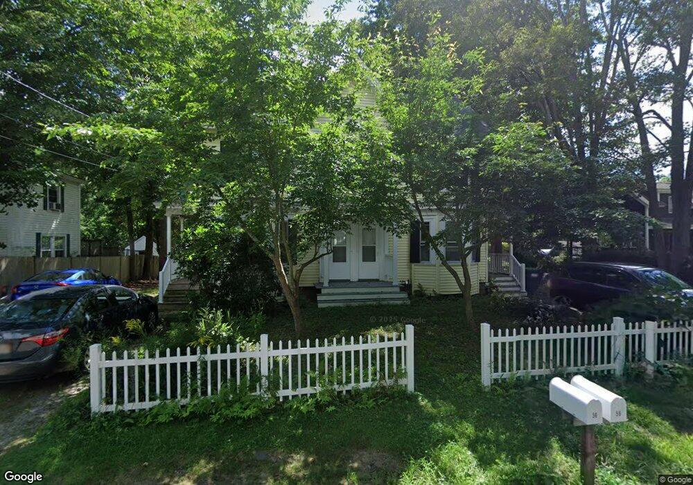
This home is located at 56 Maple St, Acton, MA 01720 and is currently estimated at $804,604, approximately $308 per square foot. 56 Maple St is a home located in Middlesex County with nearby schools including Acton-Boxborough Regional High School, Maynard Knowledge Beginnings, and The Imago School.
Ownership History
Date
Name
Owned For
Owner Type
Purchase Details
Closed on
Apr 6, 2011
Sold by
Allen Jo A
Bought by
Allen Jo A and Allen Lawrence
Current Estimated Value
Home Financials for this Owner
Home Financials are based on the most recent Mortgage that was taken out on this home.
Original Mortgage
$140,000
Outstanding Balance
$7,617
Interest Rate
4.99%
Mortgage Type
Purchase Money Mortgage
Estimated Equity
$796,987
Purchase Details
Closed on
Jan 31, 1996
Sold by
Paglia Rt and Paglia Richard
Bought by
Foley Joann K
Home Financials for this Owner
Home Financials are based on the most recent Mortgage that was taken out on this home.
Original Mortgage
$185,000
Interest Rate
7.25%
Mortgage Type
Purchase Money Mortgage
Create a Home Valuation Report for This Property
The Home Valuation Report is an in-depth analysis detailing your home's value as well as a comparison with similar homes in the area
Home Values in the Area
Average Home Value in this Area
Purchase History
| Date | Buyer | Sale Price | Title Company |
|---|---|---|---|
| Allen Jo A | -- | -- | |
| Foley Joann K | $210,000 | -- |
Source: Public Records
Mortgage History
| Date | Status | Borrower | Loan Amount |
|---|---|---|---|
| Open | Allen Jo A | $140,000 | |
| Previous Owner | Foley Joann K | $185,000 |
Source: Public Records
Tax History
| Year | Tax Paid | Tax Assessment Tax Assessment Total Assessment is a certain percentage of the fair market value that is determined by local assessors to be the total taxable value of land and additions on the property. | Land | Improvement |
|---|---|---|---|---|
| 2025 | $11,912 | $694,600 | $305,500 | $389,100 |
| 2024 | $10,259 | $615,400 | $305,500 | $309,900 |
| 2023 | $10,318 | $587,600 | $277,700 | $309,900 |
| 2022 | $9,972 | $512,700 | $241,400 | $271,300 |
| 2021 | $10,012 | $494,900 | $223,600 | $271,300 |
| 2020 | $9,374 | $487,200 | $223,600 | $263,600 |
| 2019 | $8,875 | $458,200 | $223,600 | $234,600 |
| 2018 | $8,469 | $437,000 | $223,600 | $213,400 |
| 2017 | $8,144 | $427,300 | $223,600 | $203,700 |
| 2016 | $7,846 | $408,000 | $223,600 | $184,400 |
| 2015 | $7,711 | $404,800 | $223,600 | $181,200 |
| 2014 | $7,685 | $395,100 | $223,600 | $171,500 |
Source: Public Records
Map
Nearby Homes
- 131 Main St
- 182 Main St Unit 4
- 184 Main St Unit 3
- 6 Beacon Ct
- 40 High St
- 70 River St
- 1 Vanderbelt Rd
- 63 Conant St
- 90 Willow St Unit 1
- 92 Willow St Unit 3
- 92 Willow St Unit 2
- 12 Joseph Reed Ln
- 235 Arlington St
- 36 Brown St
- 20 Joseph Reed Ln
- 130 Parker St Unit J2
- 631 Massachusetts Ave Unit 631
- 1 Carlton Dr
- 1 Drummer Rd Unit A5
- 18 Hayward Rd
Your Personal Tour Guide
Ask me questions while you tour the home.