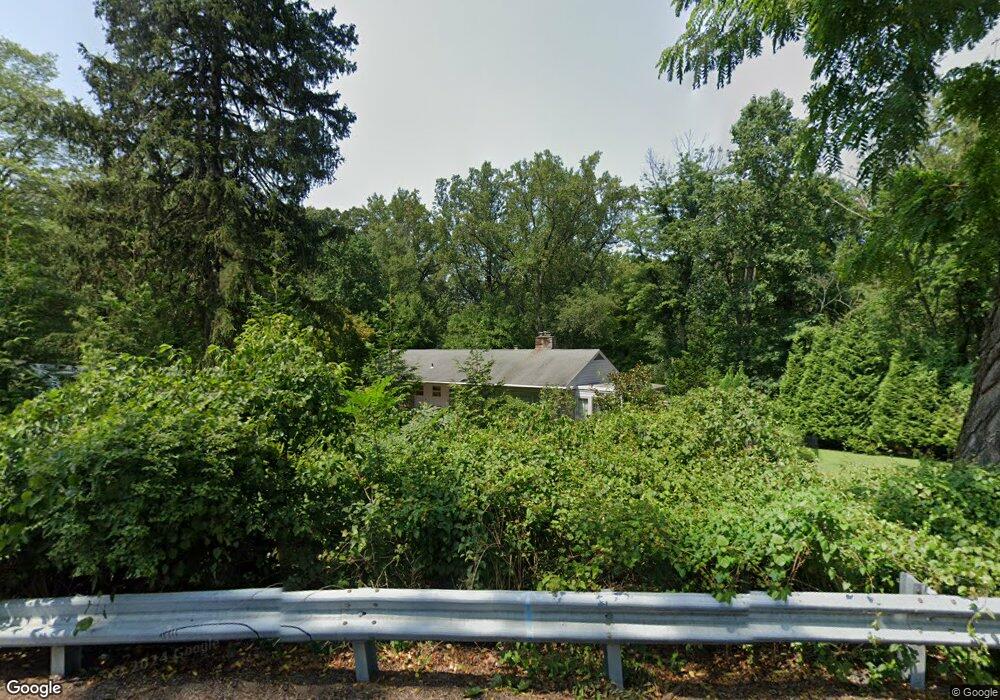
56 Marple Rd Haverford, PA 19041
Estimated Value: $906,000 - $1,165,000
4
Beds
5
Baths
2,548
Sq Ft
$399/Sq Ft
Est. Value
About This Home
This home is located at 56 Marple Rd, Haverford, PA 19041 and is currently estimated at $1,015,472, approximately $398 per square foot. 56 Marple Rd is a home located in Delaware County with nearby schools including Coopertown Elementary School, Haverford Middle School, and Haverford Senior High School.
Ownership History
Date
Name
Owned For
Owner Type
Purchase Details
Closed on
Dec 13, 1999
Sold by
Kavjian Edward M and Kavjian Grace H
Bought by
Maguire Robert E and Maguire Tricia O
Current Estimated Value
Home Financials for this Owner
Home Financials are based on the most recent Mortgage that was taken out on this home.
Original Mortgage
$198,750
Outstanding Balance
$61,514
Interest Rate
7.71%
Mortgage Type
Balloon
Estimated Equity
$953,958
Create a Home Valuation Report for This Property
The Home Valuation Report is an in-depth analysis detailing your home's value as well as a comparison with similar homes in the area
Home Values in the Area
Average Home Value in this Area
Purchase History
| Date | Buyer | Sale Price | Title Company |
|---|---|---|---|
| Maguire Robert E | $265,000 | Commonwealth Land Title Ins |
Source: Public Records
Mortgage History
| Date | Status | Borrower | Loan Amount |
|---|---|---|---|
| Open | Maguire Robert E | $198,750 | |
| Closed | Maguire Robert E | $39,750 |
Source: Public Records
Tax History Compared to Growth
Tax History
| Year | Tax Paid | Tax Assessment Tax Assessment Total Assessment is a certain percentage of the fair market value that is determined by local assessors to be the total taxable value of land and additions on the property. | Land | Improvement |
|---|---|---|---|---|
| 2025 | $14,286 | $555,620 | $212,700 | $342,920 |
| 2024 | $14,286 | $555,620 | $212,700 | $342,920 |
| 2023 | $13,881 | $555,620 | $212,700 | $342,920 |
| 2022 | $13,556 | $555,620 | $212,700 | $342,920 |
| 2021 | $22,085 | $555,620 | $212,700 | $342,920 |
| 2020 | $12,487 | $268,660 | $105,480 | $163,180 |
| 2019 | $12,257 | $268,660 | $105,480 | $163,180 |
| 2018 | $12,046 | $268,660 | $0 | $0 |
| 2017 | $11,791 | $268,660 | $0 | $0 |
| 2016 | $1,474 | $268,660 | $0 | $0 |
| 2015 | $1,504 | $268,660 | $0 | $0 |
| 2014 | $1,504 | $268,660 | $0 | $0 |
Source: Public Records
Map
Nearby Homes
- 345 Ellis Rd
- 133 Quaker Ln
- 210 218 David Dr
- 145 Merrybrook Dr
- 201 Golf Hills Rd
- 62 Parkridge Dr Unit 62
- 633 Foxfields Rd
- 67 Parkridge Dr
- 14 Westview Rd
- 202 Summit Dr Unit B
- 307 B B000 Summit Dr Unit B
- 1741 Lawrence Rd
- 127 Deerfield Rd
- 1702 Melrose Ave
- 128 Clemson Rd
- 1901 Pennview Ave
- 300 Rock Run Cir
- 124 Carli Dr
- 3920 Darby Rd
- 258 Lee Cir