56 Mclaughlin Rd Brockport, PA 15823
Estimated Value: $149,000 - $186,000
3
Beds
1
Bath
--
Sq Ft
0.75
Acres
About This Home
This home is located at 56 Mclaughlin Rd, Brockport, PA 15823 and is currently estimated at $162,136. 56 Mclaughlin Rd is a home located in Elk County with nearby schools including Brockway Area Elementary School, Brockway Area Junior/Senior High School, and Hillside School.
Ownership History
Date
Name
Owned For
Owner Type
Purchase Details
Closed on
Aug 13, 2013
Sold by
Cherubini Sandra L and Bundy Russell A
Bought by
Reitz Elmer L and Reitz Teresa K
Current Estimated Value
Home Financials for this Owner
Home Financials are based on the most recent Mortgage that was taken out on this home.
Original Mortgage
$97,196
Outstanding Balance
$72,223
Interest Rate
4.37%
Mortgage Type
FHA
Estimated Equity
$89,913
Create a Home Valuation Report for This Property
The Home Valuation Report is an in-depth analysis detailing your home's value as well as a comparison with similar homes in the area
Home Values in the Area
Average Home Value in this Area
Purchase History
| Date | Buyer | Sale Price | Title Company |
|---|---|---|---|
| Reitz Elmer L | $99,000 | None Available |
Source: Public Records
Mortgage History
| Date | Status | Borrower | Loan Amount |
|---|---|---|---|
| Open | Reitz Elmer L | $97,196 |
Source: Public Records
Tax History Compared to Growth
Tax History
| Year | Tax Paid | Tax Assessment Tax Assessment Total Assessment is a certain percentage of the fair market value that is determined by local assessors to be the total taxable value of land and additions on the property. | Land | Improvement |
|---|---|---|---|---|
| 2025 | $1,326 | $25,850 | $1,800 | $24,050 |
| 2024 | $1,326 | $25,850 | $1,800 | $24,050 |
| 2023 | $1,280 | $25,850 | $1,800 | $24,050 |
| 2022 | $1,271 | $25,850 | $1,800 | $24,050 |
| 2021 | $1,249 | $25,850 | $1,800 | $24,050 |
| 2020 | $1,249 | $25,850 | $1,800 | $24,050 |
| 2019 | $1,204 | $25,850 | $1,800 | $24,050 |
| 2018 | $1,171 | $25,850 | $1,800 | $24,050 |
| 2017 | $1,136 | $25,850 | $1,800 | $24,050 |
| 2016 | $991 | $25,850 | $1,800 | $24,050 |
| 2015 | -- | $25,850 | $1,800 | $24,050 |
| 2013 | -- | $25,850 | $1,800 | $24,050 |
Source: Public Records
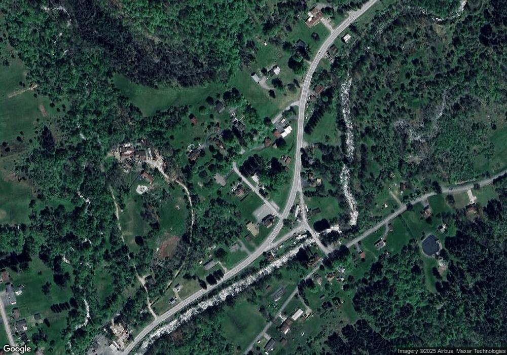
Map
Nearby Homes
- 101 Howard Rd
- 425 Zuccolotto Ln
- 47 Caruso Rd
- 3323 Mount Daniels Rd
- 3585 Shawmut Rd
- 1083 Rattlesnake Rd
- 924 Elm St
- 1549 Main St
- 970 Baghdad Rd
- 0 U S 219
- 1074 10th Ave
- 7956 U S 219
- 266 South St
- 601 Sandbank Rd
- 0 Cap Haitien Rd Unit SEC 17 LOT 14
- 598 Sandbank Rd
- 537 Lynyard Ln Bonefish Rd
- Section 19 Lot 181 Dolphin Head Rd
- 181 Dolphin Head Rd
- 129 Dolphin Head Rd
- 57 Mclaughlin Rd
- 75 Mclaughlin Rd
- 128 Mclaughlin Rd
- 52 Mountain Church Rd
- 89 Mclaughlin Rd
- 115 Mclaughlin Rd
- 140 Mclaughlin Rd
- 45 Mountain Church Rd
- 5604 Route 219
- 5620 Route 219
- 79 Mclaughlin Rd
- 50 Whites Rd
- 8 Whites Rd
- 5459 Route 219
- 26 Playground Rd
- 5704 Route 219
- 5705 Route 219
- 106 Mountain Church Rd
- 29 Playground Rd
- 19 Playground Rd