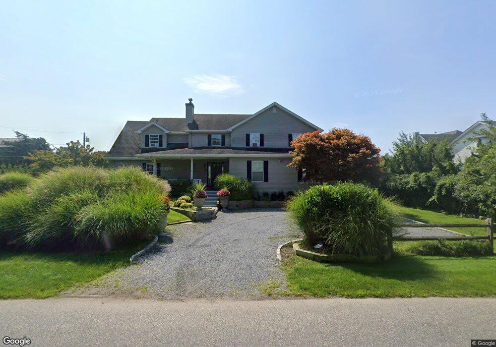
56 Middle Pond Rd Southampton, NY 11968
Estimated Value: $3,461,000 - $11,666,952
5
Beds
4
Baths
3,800
Sq Ft
$1,779/Sq Ft
Est. Value
About This Home
This home is located at 56 Middle Pond Rd, Southampton, NY 11968 and is currently estimated at $6,760,317, approximately $1,779 per square foot. 56 Middle Pond Rd is a home located in Suffolk County with nearby schools including Tuckahoe School, Southampton Montessori School, and Our Lady Of The Hamptons Regional Catholic School.
Ownership History
Date
Name
Owned For
Owner Type
Purchase Details
Closed on
Oct 2, 2018
Sold by
Lind Lawrence and Phillips-Lind Lisa
Bought by
Rentl Hamptons Waterfront
Current Estimated Value
Purchase Details
Closed on
Aug 17, 2018
Sold by
Miranda Judith D
Bought by
Lind Lawrence and Phillips-Lind Lisa
Purchase Details
Closed on
Jan 18, 1999
Sold by
Miranda Richard Diaz and Miranda Judith Diaz
Bought by
Miranda Judith Diaz
Purchase Details
Closed on
Aug 19, 1995
Sold by
Stern Daniel H and Stern Gregory N
Bought by
Diaz Miranda Richard and Diaz Miranda Judith
Create a Home Valuation Report for This Property
The Home Valuation Report is an in-depth analysis detailing your home's value as well as a comparison with similar homes in the area
Home Values in the Area
Average Home Value in this Area
Purchase History
| Date | Buyer | Sale Price | Title Company |
|---|---|---|---|
| Rentl Hamptons Waterfront | -- | -- | |
| Lind Lawrence | $8,250,000 | -- | |
| Miranda Judith Diaz | -- | First American Title Ins Co | |
| Diaz Miranda Richard | $268,000 | The Title Guarantee Company |
Source: Public Records
Tax History Compared to Growth
Tax History
| Year | Tax Paid | Tax Assessment Tax Assessment Total Assessment is a certain percentage of the fair market value that is determined by local assessors to be the total taxable value of land and additions on the property. | Land | Improvement |
|---|---|---|---|---|
| 2024 | -- | $1,874,600 | $1,219,800 | $654,800 |
| 2023 | -- | $1,874,600 | $1,219,800 | $654,800 |
| 2022 | $16,888 | $1,874,600 | $1,219,800 | $654,800 |
| 2021 | $16,888 | $1,874,600 | $1,219,800 | $654,800 |
| 2020 | $16,053 | $1,874,600 | $1,219,800 | $654,800 |
| 2019 | $16,053 | $1,874,600 | $1,219,800 | $654,800 |
| 2018 | -- | $1,795,300 | $1,229,600 | $565,700 |
| 2017 | $16,607 | $1,780,700 | $1,229,600 | $551,100 |
| 2016 | $16,837 | $1,780,700 | $1,229,600 | $551,100 |
| 2015 | -- | $1,780,700 | $1,229,600 | $551,100 |
| 2014 | -- | $1,780,700 | $1,229,600 | $551,100 |
Source: Public Records
Map
Nearby Homes
- 65 Middle Pond Rd
- 288 Montauk Hwy
- 286 Montauk Hwy
- 68 Little Neck Rd
- 3 Dellaria Dr
- 16 Middle Pond Ln
- 30 Little Neck Rd Unit 21
- 2 Little Neck Rd
- 134 Middle Pond Rd
- 141 Middle Pond Rd
- 1 Rebadam Ln
- 15 Mcgregor Dr
- 76 Blackwatch Ct
- 33 Mcgregor Dr
- 31 Blackwatch Ct
- 29 Kenwood Rd
- 18 Landing Ln
- 14 Landing Ln
- 39 Cedar Dr
- 354 Saint Andrews Rd
- 58 Middle Pond Rd
- 66 Middle Pond Rd
- 54 Middle Pond Rd
- 48 Middle Pond Rd
- 64 Middle Pond Rd
- 62 Middle Pond Rd
- 7 Koral Dr
- 7 Koral Dr
- 50 Middle Pond Rd
- 51 Middle Pond Rd
- 55 Middle Pond Rd
- 3 Koral Dr
- 63 Middle Pond Rd
- 19 Koral Dr
- 23 Koral Dr
- 45 Middle Pond Rd
- 11 Koral Dr
- 70 Middle Pond Rd Unit 15
- 70 Middle Pond Rd Unit 23
- 70 Middle Pond Rd Unit 9