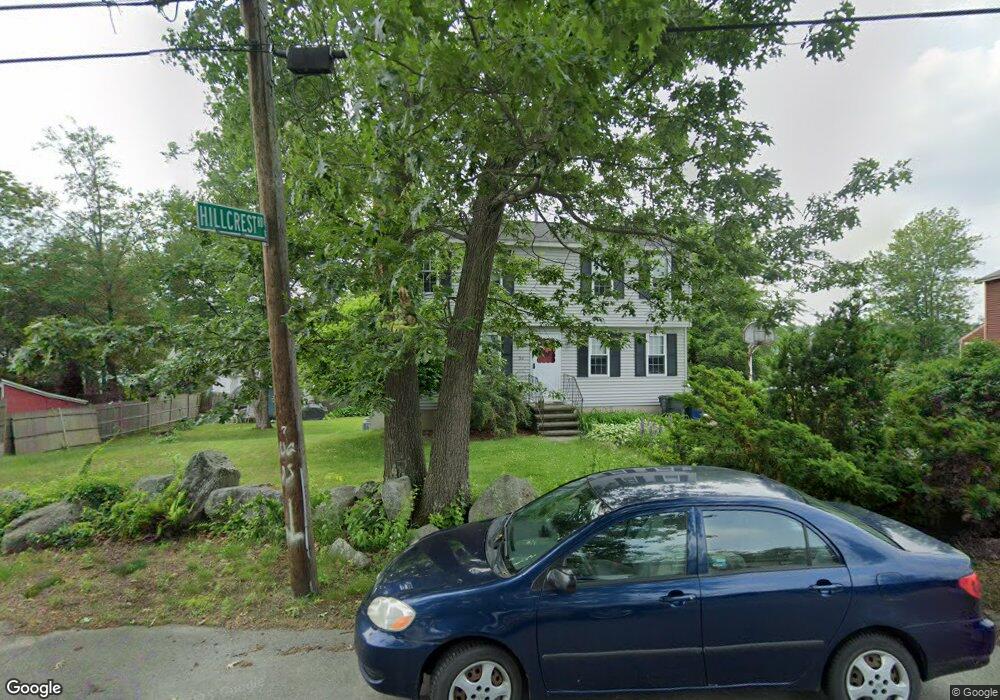
56 Mills Dr Dracut, MA 01826
Estimated Value: $556,000 - $582,000
3
Beds
2
Baths
1,479
Sq Ft
$382/Sq Ft
Est. Value
About This Home
This home is located at 56 Mills Dr, Dracut, MA 01826 and is currently estimated at $565,490, approximately $382 per square foot. 56 Mills Dr is a home located in Middlesex County with nearby schools including Brookside Elementary School, Richardson Middle School, and Dracut Senior High School.
Ownership History
Date
Name
Owned For
Owner Type
Purchase Details
Closed on
Feb 12, 1991
Sold by
Metwest Dev Inc
Bought by
Bowers William C and Bowers Anne F
Current Estimated Value
Home Financials for this Owner
Home Financials are based on the most recent Mortgage that was taken out on this home.
Original Mortgage
$110,000
Interest Rate
9.57%
Mortgage Type
Purchase Money Mortgage
Create a Home Valuation Report for This Property
The Home Valuation Report is an in-depth analysis detailing your home's value as well as a comparison with similar homes in the area
Home Values in the Area
Average Home Value in this Area
Purchase History
| Date | Buyer | Sale Price | Title Company |
|---|---|---|---|
| Bowers William C | $130,000 | -- |
Source: Public Records
Mortgage History
| Date | Status | Borrower | Loan Amount |
|---|---|---|---|
| Closed | Bowers William C | $111,200 | |
| Closed | Bowers William C | $110,000 |
Source: Public Records
Tax History Compared to Growth
Tax History
| Year | Tax Paid | Tax Assessment Tax Assessment Total Assessment is a certain percentage of the fair market value that is determined by local assessors to be the total taxable value of land and additions on the property. | Land | Improvement |
|---|---|---|---|---|
| 2025 | $4,729 | $467,300 | $193,400 | $273,900 |
| 2024 | $4,556 | $436,000 | $184,100 | $251,900 |
| 2023 | $4,510 | $389,500 | $160,100 | $229,400 |
| 2022 | $4,351 | $354,000 | $145,500 | $208,500 |
| 2021 | $4,200 | $322,800 | $132,300 | $190,500 |
| 2020 | $4,073 | $305,100 | $128,500 | $176,600 |
| 2019 | $3,853 | $280,200 | $122,300 | $157,900 |
| 2018 | $3,948 | $279,200 | $122,300 | $156,900 |
| 2017 | $3,927 | $279,200 | $122,300 | $156,900 |
| 2016 | $3,827 | $257,900 | $117,600 | $140,300 |
| 2015 | $3,706 | $248,200 | $117,600 | $130,600 |
| 2014 | $3,476 | $239,900 | $117,600 | $122,300 |
Source: Public Records
Map
Nearby Homes
- 14 D St
- 79 B St
- 671 Nashua Rd
- 32 Walnut St
- 97 Passaconaway Dr
- 53 4th St
- 17 Summer St
- 135 Stewart St Unit 1
- 67 2nd St
- 46 Long Pond Rd
- 19 Mcgrath Rd
- 10 Edwards St
- 17 Spare St
- 50 Sagewood Dr
- 31 Sagewood Dr Unit 31
- 16 Dragonfly Dr
- 29 Mill St Unit B
- 1905 Lakeview Ave
- 73 A&B Mammoth Rd
- 73 Mammoth Rd Unit A&B