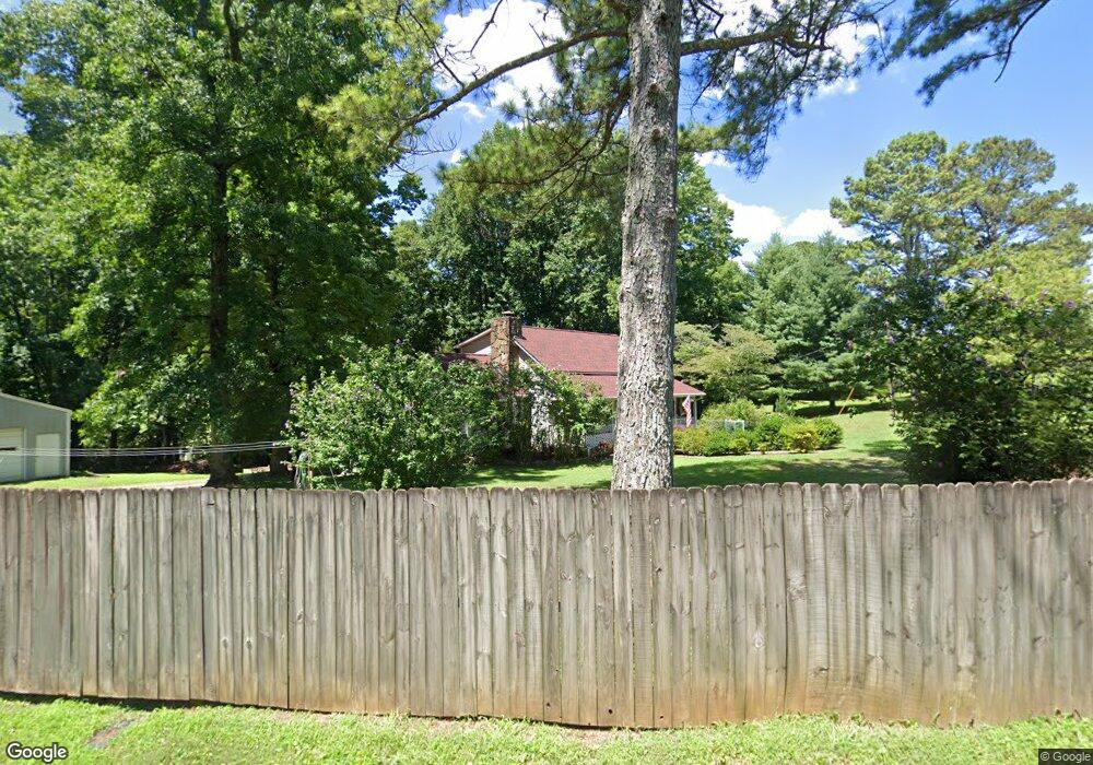
56 Mountain View Cir Jasper, GA 30143
Estimated Value: $226,640 - $307,000
Studio
2
Baths
1,653
Sq Ft
$172/Sq Ft
Est. Value
About This Home
This home is located at 56 Mountain View Cir, Jasper, GA 30143 and is currently estimated at $284,410, approximately $172 per square foot. 56 Mountain View Cir is a home located in Pickens County with nearby schools including Harmony Elementary School, Pickens County Middle School, and Pickens County High School.
Ownership History
Date
Name
Owned For
Owner Type
Purchase Details
Closed on
Mar 26, 1999
Sold by
Fosbrook Michael R S
Bought by
Jones Max J and Jones Shirle
Current Estimated Value
Purchase Details
Closed on
Dec 5, 1996
Bought by
Fosbrook Michael R S
Purchase Details
Closed on
Sep 19, 1983
Sold by
Jones Max J and Jones Shirle
Bought by
Coe Allin J and Coe Jan J
Purchase Details
Closed on
Jan 1, 1976
Sold by
Jones Max J and Jones Shirle
Bought by
Plant David K and Plant Patricia Anne
Create a Home Valuation Report for This Property
The Home Valuation Report is an in-depth analysis detailing your home's value as well as a comparison with similar homes in the area
Home Values in the Area
Average Home Value in this Area
Purchase History
| Date | Buyer | Sale Price | Title Company |
|---|---|---|---|
| Jones Max J | $98,900 | -- | |
| Fosbrook Michael R S | $87,500 | -- | |
| Coe Allin J | $55,000 | -- | |
| Plant David K | $3,500 | -- |
Source: Public Records
Tax History
| Year | Tax Paid | Tax Assessment Tax Assessment Total Assessment is a certain percentage of the fair market value that is determined by local assessors to be the total taxable value of land and additions on the property. | Land | Improvement |
|---|---|---|---|---|
| 2025 | $712 | $50,012 | $12,000 | $38,012 |
| 2024 | $859 | $48,409 | $12,000 | $36,409 |
| 2023 | $883 | $48,409 | $12,000 | $36,409 |
| 2022 | $883 | $48,409 | $12,000 | $36,409 |
| 2021 | $946 | $48,409 | $12,000 | $36,409 |
| 2020 | $858 | $43,209 | $6,800 | $36,409 |
| 2019 | $992 | $43,209 | $6,800 | $36,409 |
| 2018 | $886 | $43,209 | $6,800 | $36,409 |
| 2017 | $900 | $43,209 | $6,800 | $36,409 |
| 2016 | $914 | $43,209 | $6,800 | $36,409 |
| 2015 | $891 | $43,209 | $6,800 | $36,409 |
| 2014 | $891 | $43,209 | $6,800 | $36,409 |
| 2013 | -- | $43,208 | $6,800 | $36,408 |
Source: Public Records
Map
Nearby Homes
- 324 Northside Dr
- 130 Rolling Meadow Trace
- 7 Noah Dr
- 224 Deerberry Dr
- 214 Deerberry Dr
- 206 Deerberry Dr
- 43 Rolling Meadow Trace
- 33 Rolling Meadow
- 33 Rolling Meadow Trace
- 27 Rolling Meadow Trace
- 27 Rolling Meadow
- 65 Lindsey Ln
- 91 Pinnacle Way
- 733 Gennett Dr
- 10 Kane Dr
- 29 Arbor Hills Trace
- 12 Sammy McGhee Blvd Unit 203
- 174 Golden Springs Dr
- 341 Hood Park Dr
- 378 Hood Park Dr
- 80 Mountain View Cir
- 80 Mountain View Cir
- 80 Mountain View Cir
- L12/13 Mountain View Cir
- 45 Mountain View Cir
- 57 Mountain View Cir
- 51 Mountain View Dr
- 345 Collins Rd
- 35 Mountain View Dr
- 79 Mountain View Dr
- 51 Mountain View Cir
- 105 Mountain View Dr
- 21 Mountain View Dr
- 0 Mountain View Dr Unit 3149201
- 325 Collins Rd
- 0 Mountain View Dr Unit 7020261
- 0 Mountain View Dr Unit L12/13 8782075
- 117 Mountain View Dr
- 55 Mountainside Village Pkwy Unit 103, 104
- 55 Mountainside Village Pkwy Unit 104
Your Personal Tour Guide
Ask me questions while you tour the home.