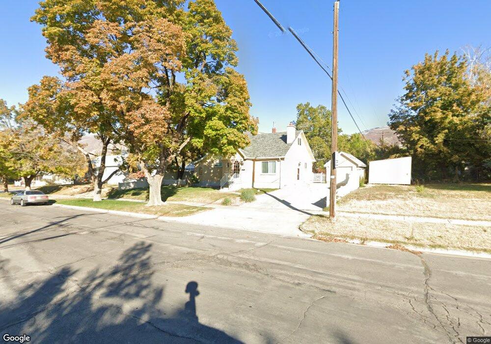
56 N 100 E Bountiful, UT 84010
Estimated Value: $488,000 - $542,000
4
Beds
3
Baths
1,065
Sq Ft
$490/Sq Ft
Est. Value
About This Home
This home is located at 56 N 100 E, Bountiful, UT 84010 and is currently estimated at $521,728, approximately $489 per square foot. 56 N 100 E is a home located in Davis County with nearby schools including Meadowbrook Elementary School, Bountiful Junior High School, and Bountiful High School.
Ownership History
Date
Name
Owned For
Owner Type
Purchase Details
Closed on
Jul 9, 2012
Sold by
Hansen Darrell C
Bought by
Damer Diane Lora
Current Estimated Value
Purchase Details
Closed on
Jul 23, 2008
Sold by
Damer Diane Hansen and Hansen Darrell C
Bought by
Hansen Darrell C and Damer Diane Lora
Purchase Details
Closed on
Mar 1, 1996
Sold by
Dalton Carol A and Dalton Hazel F
Bought by
Dalton Carol A and Dalton Hazel F
Create a Home Valuation Report for This Property
The Home Valuation Report is an in-depth analysis detailing your home's value as well as a comparison with similar homes in the area
Purchase History
| Date | Buyer | Sale Price | Title Company |
|---|---|---|---|
| Damer Diane Lora | -- | Northern Title Co Lc | |
| Hansen Darrell C | -- | None Available | |
| Dalton Carol A | -- | -- |
Source: Public Records
Tax History
| Year | Tax Paid | Tax Assessment Tax Assessment Total Assessment is a certain percentage of the fair market value that is determined by local assessors to be the total taxable value of land and additions on the property. | Land | Improvement |
|---|---|---|---|---|
| 2025 | -- | $246,400 | $140,770 | $105,630 |
| 2024 | $1,581 | $238,699 | $128,401 | $110,298 |
| 2023 | $2,483 | $229,350 | $128,596 | $100,753 |
| 2022 | $2,470 | $413,000 | $230,959 | $182,041 |
| 2021 | $19 | $322,000 | $166,347 | $155,653 |
| 2020 | $2,283 | $286,000 | $141,105 | $144,895 |
| 2019 | $2,136 | $270,000 | $142,442 | $127,558 |
| 2018 | $1,923 | $244,000 | $139,480 | $104,520 |
| 2016 | $290 | $119,735 | $59,798 | $59,937 |
| 2015 | $1,659 | $110,000 | $59,798 | $50,202 |
| 2014 | $277 | $114,612 | $59,798 | $54,814 |
| 2013 | -- | $93,789 | $43,945 | $49,844 |
Source: Public Records
Map
Nearby Homes
- 55 E 200 N Unit 2
- 51 E 200 N Unit 3
- 49 E 200 N Unit 4
- 41 E 200 N Unit 6
- 254 N Main St
- 256 N Main St
- 252 N Main St
- 357 S 100 E
- 17 E 400 N Unit 19B
- 345 N 400 E
- 255 E 400 S
- 32 W 400 S
- 453 N 400 E Unit 7-D
- 34 W 400 S
- 320 N 200 W Unit 4
- 513 N 400 E Unit 14B
- 545 S 100 E
- 332 N 300 W
- 75 N Peregrine Ln W Unit 8
- 520 S Orchard Dr Unit 17
Your Personal Tour Guide
Ask me questions while you tour the home.