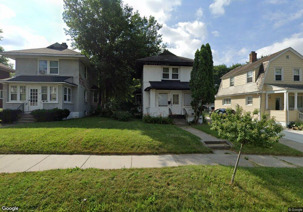
56 Oliver St Pontiac, MI 48342
Estimated Value: $106,000 - $124,821
3
Beds
1
Bath
1,031
Sq Ft
$113/Sq Ft
Est. Value
About This Home
This home is located at 56 Oliver St, Pontiac, MI 48342 and is currently estimated at $116,205, approximately $112 per square foot. 56 Oliver St is a home located in Oakland County with nearby schools including Herrington Elementary School, Pontiac Middle School, and Pontiac High School.
Ownership History
Date
Name
Owned For
Owner Type
Purchase Details
Closed on
Dec 9, 2011
Sold by
Oakland County Treasurer
Bought by
Morrow Christopher J F
Current Estimated Value
Purchase Details
Closed on
Jul 29, 2002
Sold by
Lewis Nancy
Bought by
Morrow Christopher J F
Purchase Details
Closed on
Aug 18, 1999
Sold by
Michigan Land Contr Buye
Bought by
Lewis Nancy
Purchase Details
Closed on
Jul 1, 1998
Sold by
Michigan Land Contract B
Bought by
Lewis Nancy
Purchase Details
Closed on
Apr 9, 1997
Sold by
Zimmerman Brian
Bought by
Michigan Land Contr Buyers
Create a Home Valuation Report for This Property
The Home Valuation Report is an in-depth analysis detailing your home's value as well as a comparison with similar homes in the area
Home Values in the Area
Average Home Value in this Area
Purchase History
| Date | Buyer | Sale Price | Title Company |
|---|---|---|---|
| Morrow Christopher J F | -- | None Available | |
| Morrow Christopher J F | $58,500 | Title Source Inc | |
| Lewis Nancy | $39,000 | -- | |
| Lewis Nancy | $39,000 | -- | |
| Michigan Land Contr Buyers | -- | -- |
Source: Public Records
Tax History Compared to Growth
Tax History
| Year | Tax Paid | Tax Assessment Tax Assessment Total Assessment is a certain percentage of the fair market value that is determined by local assessors to be the total taxable value of land and additions on the property. | Land | Improvement |
|---|---|---|---|---|
| 2024 | $524 | $41,920 | $0 | $0 |
| 2023 | $500 | $36,920 | $0 | $0 |
| 2022 | $1,256 | $31,940 | $0 | $0 |
| 2021 | $533 | $27,500 | $0 | $0 |
| 2020 | $454 | $24,580 | $0 | $0 |
| 2019 | $509 | $21,150 | $0 | $0 |
| 2018 | $481 | $18,820 | $0 | $0 |
| 2017 | $459 | $17,840 | $0 | $0 |
| 2016 | $487 | $15,590 | $0 | $0 |
| 2015 | -- | $13,350 | $0 | $0 |
| 2014 | -- | $11,700 | $0 | $0 |
| 2011 | -- | $18,410 | $0 | $0 |
Source: Public Records
Map
Nearby Homes
- 633 N Perry St
- 100 Oliver St
- 669 N Perry St
- 141 Oliver St
- 421 N Paddock St
- 124 Kemp St
- 431 Perry St
- 25 Elwood St
- 388 N Perry St
- 217 Edison St
- 52 Whitfield St
- 352 N Perry St
- 80 Oakhill St
- 514 Linda Vista Dr
- 0 Cesar Chavez Rd Unit 50166552
- 37 Poplar Ave
- 667 Raskob St
- 472 University Dr
- 73 Poplar Ave
- 583 Wesbrook St
- 60 Oliver St
- 52 Oliver St
- 64 Oliver St Unit Bldg-Unit
- 64 Oliver St
- 68 Oliver St
- 601 N Perry St Unit 605
- 601 N Perry St Unit 601
- 601 N Perry St Unit 607
- 601 N Perry St Unit 604
- 601 N Perry St Unit 603
- 601 N Perry St Unit 609
- 601 N Perry St
- 48 Oliver St
- 42 Oliver St
- 72 Oliver St
- 601 N Perry - Unit 603 St
- 601 N Perry - Unit 601 St
- 587 N Perry St
- 76 Oliver St Unit Bldg-Unit
- 583 N Perry St