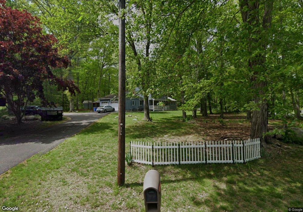
56 Pheasant Run Dr Gales Ferry, CT 06335
Estimated Value: $482,000 - $538,000
4
Beds
7
Baths
2,572
Sq Ft
$200/Sq Ft
Est. Value
About This Home
This home is located at 56 Pheasant Run Dr, Gales Ferry, CT 06335 and is currently estimated at $515,558, approximately $200 per square foot. 56 Pheasant Run Dr is a home located in New London County with nearby schools including Ledyard Middle School, Ledyard High School, and Academy Of St Therese.
Ownership History
Date
Name
Owned For
Owner Type
Purchase Details
Closed on
Aug 15, 2011
Sold by
Mcghee Paul G and Mcghee Wendy K
Bought by
Julterman Sandra K and Kulterman Timothy W
Current Estimated Value
Home Financials for this Owner
Home Financials are based on the most recent Mortgage that was taken out on this home.
Original Mortgage
$260,482
Interest Rate
4.51%
Mortgage Type
Purchase Money Mortgage
Purchase Details
Closed on
Nov 5, 2007
Sold by
Thomas Ward A and Thomas Marquet T
Bought by
Mcghee Wendy K and Mcghee Paol G
Home Financials for this Owner
Home Financials are based on the most recent Mortgage that was taken out on this home.
Original Mortgage
$175,000
Interest Rate
6.43%
Purchase Details
Closed on
Jul 20, 2001
Sold by
Watch Hil Bldrs
Bought by
Volk Timothy and Volk Kathy
Purchase Details
Closed on
Oct 18, 1993
Sold by
Mcaneny Douglas
Bought by
Thomas Ward A and Thomas Margaret
Create a Home Valuation Report for This Property
The Home Valuation Report is an in-depth analysis detailing your home's value as well as a comparison with similar homes in the area
Home Values in the Area
Average Home Value in this Area
Purchase History
| Date | Buyer | Sale Price | Title Company |
|---|---|---|---|
| Julterman Sandra K | $255,000 | -- | |
| Mcghee Wendy K | $316,500 | -- | |
| Volk Timothy | $196,400 | -- | |
| Watch Hill Bldrs Llc | $40,000 | -- | |
| Thomas Ward A | $154,000 | -- |
Source: Public Records
Mortgage History
| Date | Status | Borrower | Loan Amount |
|---|---|---|---|
| Open | Thomas Ward A | $261,140 | |
| Closed | Thomas Ward A | $260,482 | |
| Previous Owner | Thomas Ward A | $175,000 |
Source: Public Records
Tax History
| Year | Tax Paid | Tax Assessment Tax Assessment Total Assessment is a certain percentage of the fair market value that is determined by local assessors to be the total taxable value of land and additions on the property. | Land | Improvement |
|---|---|---|---|---|
| 2025 | $7,935 | $213,640 | $52,220 | $161,420 |
| 2024 | $7,498 | $212,940 | $52,220 | $160,720 |
| 2023 | $7,359 | $212,940 | $52,220 | $160,720 |
| 2022 | $7,202 | $212,940 | $52,220 | $160,720 |
| 2021 | $7,155 | $212,940 | $52,220 | $160,720 |
| 2020 | $7,319 | $209,300 | $54,670 | $154,630 |
| 2019 | $6,302 | $179,760 | $54,670 | $125,090 |
| 2018 | $6,164 | $179,760 | $54,670 | $125,090 |
| 2017 | $5,849 | $179,760 | $54,670 | $125,090 |
| 2016 | $5,734 | $179,760 | $54,670 | $125,090 |
| 2015 | $5,465 | $179,760 | $54,670 | $125,090 |
| 2014 | $5,565 | $186,130 | $54,670 | $131,460 |
Source: Public Records
Map
Nearby Homes
- 932 Long Cove Rd Unit LOT 4
- 1010 Long Cove Rd Unit LOT 17
- 1513 Connecticut 12
- 82 Christy Hill Rd
- 20 Inchcliffe Dr
- 25 Marty's Way
- 27 Marty's Way
- 13 Hillside Dr
- 1581 Route 12
- 18 Marty's Way
- 32 Richard Rd
- 4 Amber Cir
- 59 Kings Hwy Unit 5
- 1661 Center Groton Rd
- 15 Ferry View Dr
- 125 Murphys Dr Unit 125
- 0 Briar Hill Rd Unit 24148389
- 14 Anderson Dr
- 9 Stone Ct
- 1742 Route 12 Unit 2A
- 10 Quail Meadow Ln
- 58 Pheasant Run Dr
- 11 Quail Meadow Ln
- 55 Pheasant Run Dr
- 57 Pheasant Run Dr
- 8 Quail Meadow Ln
- 60 Pheasant Run Dr
- 53 Pheasant Run Dr
- 50 Pheasant Run Dr
- 9 Quail Meadow Ln
- 51 Pheasant Run Dr
- 6 Quail Meadow Ln
- 7 Quail Meadow Ln
- 61 Pheasant Run Dr
- 48 Pheasant Run Dr
- 11 Warbler Way
- 4 Osprey Dr
- 6 Osprey Dr
- 9 Warbler Way
- 5 Warbler Way
Your Personal Tour Guide
Ask me questions while you tour the home.