56 Putters Ln Mays Landing, NJ 08330
Estimated Value: $355,942 - $411,000
3
Beds
2
Baths
1,328
Sq Ft
$283/Sq Ft
Est. Value
About This Home
This home is located at 56 Putters Ln, Mays Landing, NJ 08330 and is currently estimated at $375,486, approximately $282 per square foot. 56 Putters Ln is a home located in Atlantic County with nearby schools including George L. Hess Educational Complex, Joseph Shaner School, and William Davies Middle School.
Ownership History
Date
Name
Owned For
Owner Type
Purchase Details
Closed on
Jun 24, 2024
Sold by
Neville Wayne A
Bought by
Neville Wayne A and Neville Roseanne
Current Estimated Value
Purchase Details
Closed on
Dec 5, 2011
Sold by
Blum Tony
Bought by
Neville Wayne A
Home Financials for this Owner
Home Financials are based on the most recent Mortgage that was taken out on this home.
Original Mortgage
$117,000
Interest Rate
4.09%
Mortgage Type
New Conventional
Purchase Details
Closed on
Sep 17, 2004
Sold by
Delilah Oaks Llc
Bought by
Blum Tony
Home Financials for this Owner
Home Financials are based on the most recent Mortgage that was taken out on this home.
Original Mortgage
$120,000
Interest Rate
6.02%
Mortgage Type
Purchase Money Mortgage
Create a Home Valuation Report for This Property
The Home Valuation Report is an in-depth analysis detailing your home's value as well as a comparison with similar homes in the area
Home Values in the Area
Average Home Value in this Area
Purchase History
| Date | Buyer | Sale Price | Title Company |
|---|---|---|---|
| Neville Wayne A | -- | None Listed On Document | |
| Neville Wayne A | $195,000 | First American Title Ins Co | |
| Blum Tony | $179,000 | Liberty Title Agency Inc | |
| Delilah Oaks Llc | -- | Liberty Title Agency |
Source: Public Records
Mortgage History
| Date | Status | Borrower | Loan Amount |
|---|---|---|---|
| Previous Owner | Neville Wayne A | $117,000 | |
| Previous Owner | Blum Tony | $120,000 |
Source: Public Records
Tax History Compared to Growth
Tax History
| Year | Tax Paid | Tax Assessment Tax Assessment Total Assessment is a certain percentage of the fair market value that is determined by local assessors to be the total taxable value of land and additions on the property. | Land | Improvement |
|---|---|---|---|---|
| 2025 | $5,459 | $159,100 | $40,200 | $118,900 |
| 2024 | $5,459 | $159,100 | $40,200 | $118,900 |
| 2023 | $5,133 | $159,100 | $40,200 | $118,900 |
| 2022 | $5,133 | $159,100 | $40,200 | $118,900 |
| 2021 | $5,121 | $159,100 | $40,200 | $118,900 |
| 2020 | $5,121 | $159,100 | $40,200 | $118,900 |
| 2019 | $5,134 | $159,100 | $40,200 | $118,900 |
| 2018 | $4,954 | $159,100 | $40,200 | $118,900 |
| 2017 | $4,876 | $159,100 | $40,200 | $118,900 |
| 2016 | $4,740 | $159,100 | $40,200 | $118,900 |
| 2015 | $4,579 | $159,100 | $40,200 | $118,900 |
| 2014 | $5,025 | $191,300 | $50,200 | $141,100 |
Source: Public Records
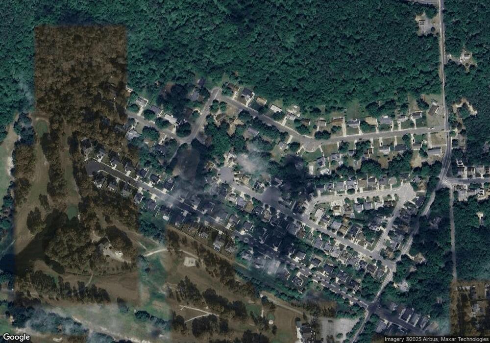
Map
Nearby Homes
- 20 Monet Dr
- 66 Monet Dr
- 7 Golf Dr
- 78 Oakmont Dr
- 94 Baltusrol Dr
- 26 Baltusrol Dr
- 277 Greenbriar Ct
- 4127 Black Horse Pike
- 182 Pebble Beach Dr
- 218 Burning Tree Ct
- 172 Turnberry Ct
- 16 Rue Chagall
- 156 Muirfield Ct
- 124 Amherst Dr
- 154 Muirfield Ct
- 134 Glen Eagles Ct
- 131 Aberdeen Ct Unit 131
- 8 Rembrandt Way
- 165 Turnberry Ct
- 7 Renaissance Dr