Estimated Value: $752,000 - $909,000
Studio
--
Bath
2,608
Sq Ft
$316/Sq Ft
Est. Value
About This Home
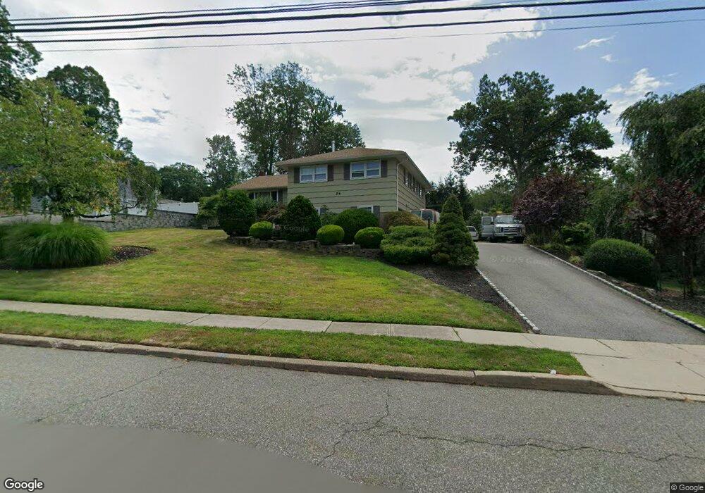
This home is located at 56 Rande Dr, Wayne, NJ 07470 and is currently estimated at $823,882, approximately $315 per square foot. 56 Rande Dr is a home located in Passaic County with nearby schools including Randall Carter School, George Washington Middle School, and Wayne Valley High School.
Ownership History
Date
Name
Owned For
Owner Type
Purchase Details
Closed on
Apr 15, 2005
Sold by
Lowe Eugene
Bought by
Vazquez Elia B and Vazquez Maria R
Current Estimated Value
Home Financials for this Owner
Home Financials are based on the most recent Mortgage that was taken out on this home.
Original Mortgage
$200,000
Outstanding Balance
$104,345
Interest Rate
5.95%
Mortgage Type
New Conventional
Estimated Equity
$719,537
Purchase Details
Closed on
Oct 14, 2004
Sold by
Ray Cliff
Bought by
Lowe Eugene
Home Financials for this Owner
Home Financials are based on the most recent Mortgage that was taken out on this home.
Original Mortgage
$400,000
Interest Rate
5.85%
Purchase Details
Closed on
Dec 7, 1999
Sold by
Vansweden Martha
Bought by
Ray Clifford Anthony and Ray Patricia
Home Financials for this Owner
Home Financials are based on the most recent Mortgage that was taken out on this home.
Original Mortgage
$180,000
Interest Rate
7.91%
Create a Home Valuation Report for This Property
The Home Valuation Report is an in-depth analysis detailing your home's value as well as a comparison with similar homes in the area
Home Values in the Area
Average Home Value in this Area
Purchase History
| Date | Buyer | Sale Price | Title Company |
|---|---|---|---|
| Vazquez Elia B | $540,000 | -- | |
| Lowe Eugene | $500,000 | -- | |
| Ray Clifford Anthony | $329,900 | -- |
Source: Public Records
Mortgage History
| Date | Status | Borrower | Loan Amount |
|---|---|---|---|
| Open | Vazquez Elia B | $200,000 | |
| Previous Owner | Lowe Eugene | $400,000 | |
| Previous Owner | Ray Clifford Anthony | $180,000 |
Source: Public Records
Tax History
| Year | Tax Paid | Tax Assessment Tax Assessment Total Assessment is a certain percentage of the fair market value that is determined by local assessors to be the total taxable value of land and additions on the property. | Land | Improvement |
|---|---|---|---|---|
| 2025 | $13,242 | $222,700 | $107,400 | $115,300 |
| 2024 | $12,484 | $222,700 | $107,400 | $115,300 |
Source: Public Records
Map
Nearby Homes
- 16 Gressinger Rd
- 249 Parish Dr
- 53 Laurel Dr
- 208 Fayette Ave
- 25-27 Newark Pompton Turnpike
- 31 Brookside Rd
- 2 Brookside Rd
- 450 Boonton Turnpike
- 14 Oneida Trail
- 27 Archung Rd
- 74 Nakomis Path
- 30 S Valley Rd
- 47 Matthew Rd
- 62 Pine Brook Rd
- 193 Newark Pompton Turnpike
- 201 Newark Pompton Turnpike
- 109 Monmouth Ave
- 108 Packanack Lake Rd
- 11 Cypress Ave
- 38 Totowa Rd
Your Personal Tour Guide
Ask me questions while you tour the home.