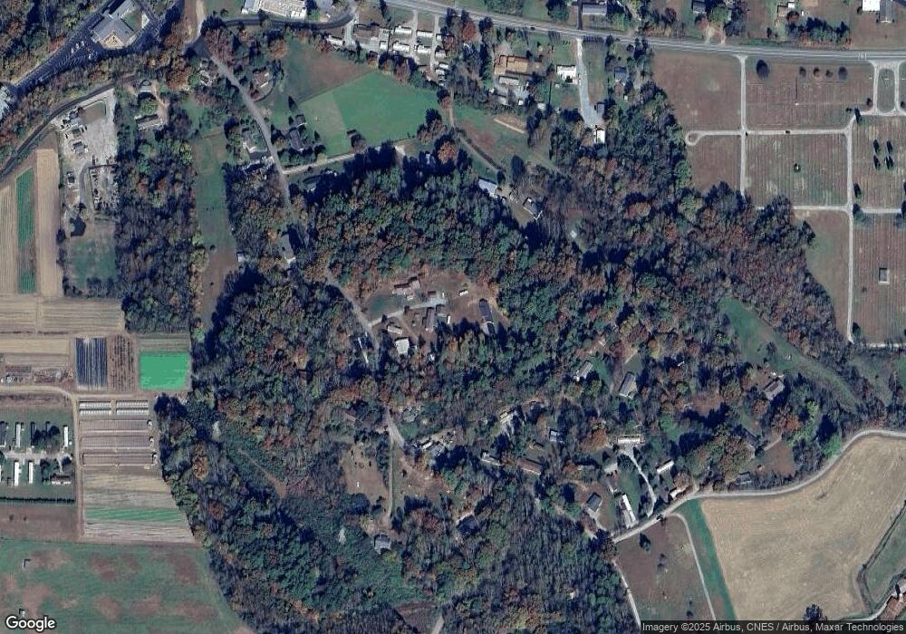
56 Robin Crest Dr Pisgah Forest, NC 28768
Estimated Value: $401,771 - $503,000
3
Beds
3
Baths
1,544
Sq Ft
$292/Sq Ft
Est. Value
About This Home
This home is located at 56 Robin Crest Dr, Pisgah Forest, NC 28768 and is currently estimated at $450,443, approximately $291 per square foot. 56 Robin Crest Dr is a home located in Transylvania County with nearby schools including Brevard Academy and Anchor Baptist Academy.
Ownership History
Date
Name
Owned For
Owner Type
Purchase Details
Closed on
Jun 24, 2010
Sold by
Galloway Ivan Victor and Galloway Ellen
Bought by
Galloway Martin D and Galloway Yvonne D
Current Estimated Value
Purchase Details
Closed on
Jan 20, 2010
Sold by
Galloway Ivan Victor and Galloway Ellen
Bought by
Galloway Martin D and Galloway Yvonne D
Create a Home Valuation Report for This Property
The Home Valuation Report is an in-depth analysis detailing your home's value as well as a comparison with similar homes in the area
Home Values in the Area
Average Home Value in this Area
Purchase History
| Date | Buyer | Sale Price | Title Company |
|---|---|---|---|
| Galloway Martin D | -- | None Available | |
| Galloway Martin D | -- | None Available |
Source: Public Records
Tax History Compared to Growth
Tax History
| Year | Tax Paid | Tax Assessment Tax Assessment Total Assessment is a certain percentage of the fair market value that is determined by local assessors to be the total taxable value of land and additions on the property. | Land | Improvement |
|---|---|---|---|---|
| 2025 | $2,034 | $423,330 | $40,000 | $383,330 |
| 2024 | $1,307 | $198,580 | $40,000 | $158,580 |
| 2023 | $1,307 | $198,580 | $40,000 | $158,580 |
| 2022 | $1,307 | $198,580 | $40,000 | $158,580 |
| 2021 | $1,297 | $198,580 | $40,000 | $158,580 |
| 2020 | $1,112 | $159,710 | $0 | $0 |
| 2019 | $1,104 | $159,710 | $0 | $0 |
| 2018 | $904 | $159,710 | $0 | $0 |
| 2017 | $904 | $159,710 | $0 | $0 |
| 2016 | $879 | $159,710 | $0 | $0 |
| 2015 | $643 | $152,480 | $28,940 | $123,540 |
| 2014 | $643 | $152,480 | $28,940 | $123,540 |
Source: Public Records
Map
Nearby Homes
- ACROSS 675 Kayla West Dr W Unit MHP, 9 UNITS
- 200 Riley Ln
- 35&61 Ahava Rd
- 54 Hillside Heights
- 57 Big Branch Rd
- 63 Evergreen Cove
- 71 Laurel Mountain Rd
- TBD NorMcOl Rd
- 55 Locust Ln
- 226 Pisgah Dr
- 1019 Hudlin Gap Rd
- 176 Pisgah Dr
- 398 NorMcOl Dr
- 160 Tanglewood Heights
- TBD Asheville Hwy
- 9999 Poplar Ln Unit 505,506,507
- SH11 Springhouse Trail
- 0 Springhouse Trail Unit 15 CAR4228686
- Upper Camptown Rd Unit M106
- Upper Camptown Rd Unit M110
- 56 Robin Crest Dr
- 46 Robin Crest Dr
- 740 Cemetery Rd
- 702 Cemetery Rd
- 704 Hendersonville Hwy
- 55 Grey Havens Dr
- 702 Hendersonville Hwy
- 731 Cemetery Rd
- 885 Cemetery Rd
- 651 Cemetery Rd
- 892 Cemetery Rd
- 82 Fulcher Dr
- 634 Cemetery Rd
- 934 Cemetery Rd
- 960 Cemetery Rd
- 727 Cemetery Rd
- 244 Cemetery Rd
- 101 Rosey Way
- 23 Parkers Creek Ln
- 912 Cemetery Rd
