56 Robin Hill Rd Newtown, CT 06470
Estimated Value: $759,000 - $863,000
4
Beds
4
Baths
2,658
Sq Ft
$304/Sq Ft
Est. Value
About This Home
This home is located at 56 Robin Hill Rd, Newtown, CT 06470 and is currently estimated at $808,507, approximately $304 per square foot. 56 Robin Hill Rd is a home located in Fairfield County with nearby schools including Head O'Meadow Elementary School, Reed Intermediate School, and Newtown Middle School.
Ownership History
Date
Name
Owned For
Owner Type
Purchase Details
Closed on
May 26, 2005
Sold by
Stottle Carol
Bought by
Moccio Jeffrey and Moccio Mary
Current Estimated Value
Home Financials for this Owner
Home Financials are based on the most recent Mortgage that was taken out on this home.
Original Mortgage
$260,000
Interest Rate
5.94%
Create a Home Valuation Report for This Property
The Home Valuation Report is an in-depth analysis detailing your home's value as well as a comparison with similar homes in the area
Home Values in the Area
Average Home Value in this Area
Purchase History
| Date | Buyer | Sale Price | Title Company |
|---|---|---|---|
| Moccio Jeffrey | $537,000 | -- | |
| Moccio Jeffrey | $537,000 | -- |
Source: Public Records
Mortgage History
| Date | Status | Borrower | Loan Amount |
|---|---|---|---|
| Open | Moccio Jeffrey | $270,000 | |
| Closed | Moccio Jeffrey | $270,000 | |
| Closed | Moccio Jeffrey | $260,000 |
Source: Public Records
Tax History
| Year | Tax Paid | Tax Assessment Tax Assessment Total Assessment is a certain percentage of the fair market value that is determined by local assessors to be the total taxable value of land and additions on the property. | Land | Improvement |
|---|---|---|---|---|
| 2025 | $11,224 | $390,530 | $103,630 | $286,900 |
| 2024 | $10,533 | $390,530 | $103,630 | $286,900 |
| 2023 | $10,248 | $390,530 | $103,630 | $286,900 |
| 2022 | $9,721 | $280,380 | $84,660 | $195,720 |
| 2021 | $9,715 | $280,380 | $84,660 | $195,720 |
| 2020 | $9,746 | $280,380 | $84,660 | $195,720 |
| 2019 | $9,749 | $280,380 | $84,660 | $195,720 |
| 2018 | $9,600 | $280,380 | $84,660 | $195,720 |
| 2017 | $9,577 | $282,770 | $93,180 | $189,590 |
| 2016 | $9,501 | $282,770 | $93,180 | $189,590 |
| 2015 | $9,351 | $282,770 | $93,180 | $189,590 |
| 2014 | $9,419 | $282,770 | $93,180 | $189,590 |
Source: Public Records
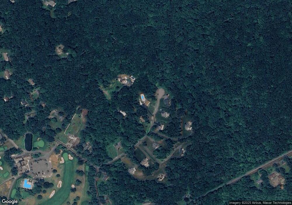
Map
Nearby Homes
- 24 Pleasant Hill Rd
- 133 Sugar St
- 52 Key Rock Rd
- 92 Head of Meadow Rd
- 10 Wedgewood Ct
- 73 Dodgingtown Rd
- 36 Shelley Rd
- 18 Head of Meadow Rd
- 14 Merlins Ln
- 55 Sugar St Unit 9
- 55 Sugar St Unit 6
- 55 Sugar St Unit 2
- 55 Sugar St Unit 31
- 55 Sugar St Unit 33
- 55 Sugar St Unit 3
- 55 Sugar St Unit 20
- 55 Sugar St Unit 28
- 55 Sugar St Unit 14
- 55 Sugar St Unit 12
- 55 Sugar St Unit 27
- 58 Robin Hill Rd
- 21 Robin Hill Rd
- 62 Robin Hill Rd
- 60 Robin Hill Rd
- 47 Robin Hill Rd Unit 22
- 49 Robin Hill Rd Unit 21
- 51 Robin Hill Rd Unit 20
- 51 Robin Hill Rd
- 64 Robin Hill Rd
- 55 Robin Hill Rd Unit 18
- 53 Robin Hill Rd Unit 19
- 61 Robin Hill Rd Unit 15
- 57 Robin Hill Rd Unit 17
- 57 Robin Hill Rd
- 18 Rock Ridge Rd
- 63 Robin Hill Rd Unit 14
- 20 Rock Ridge Rd
- 59 Robin Hill Rd Unit 16
- 12 Rock Ridge Rd
- 22 Rock Ridge Rd
Your Personal Tour Guide
Ask me questions while you tour the home.