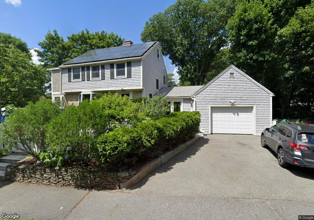
56 Roosevelt Rd Newton Center, MA 02459
Thompsonville NeighborhoodEstimated Value: $1,427,345 - $1,515,000
3
Beds
2
Baths
1,755
Sq Ft
$833/Sq Ft
Est. Value
About This Home
This home is located at 56 Roosevelt Rd, Newton Center, MA 02459 and is currently estimated at $1,462,586, approximately $833 per square foot. 56 Roosevelt Rd is a home located in Middlesex County with nearby schools including Countryside Elementary School, Bowen School, and Charles E Brown Middle School.
Ownership History
Date
Name
Owned For
Owner Type
Purchase Details
Closed on
Jun 28, 2005
Sold by
Stevenson Elizabeth and Ahlijanian Martin
Bought by
Schwartz Abigail M and Schwartz Jordan D
Current Estimated Value
Purchase Details
Closed on
Apr 30, 2003
Sold by
Vavra Lorraine J and Bayliss John B
Bought by
Stevenson Elizabeth and Ahlijanian Martin
Purchase Details
Closed on
Aug 25, 1999
Sold by
Mcneil John L and Mcneil Joan E
Bought by
Bayliss John B and Vavra Lorraine J
Create a Home Valuation Report for This Property
The Home Valuation Report is an in-depth analysis detailing your home's value as well as a comparison with similar homes in the area
Home Values in the Area
Average Home Value in this Area
Purchase History
| Date | Buyer | Sale Price | Title Company |
|---|---|---|---|
| Schwartz Abigail M | $653,000 | -- | |
| Stevenson Elizabeth | $569,000 | -- | |
| Bayliss John B | $324,000 | -- |
Source: Public Records
Mortgage History
| Date | Status | Borrower | Loan Amount |
|---|---|---|---|
| Open | Bayliss John B | $272,000 | |
| Closed | Bayliss John B | $273,500 |
Source: Public Records
Tax History Compared to Growth
Tax History
| Year | Tax Paid | Tax Assessment Tax Assessment Total Assessment is a certain percentage of the fair market value that is determined by local assessors to be the total taxable value of land and additions on the property. | Land | Improvement |
|---|---|---|---|---|
| 2025 | $11,428 | $1,166,100 | $879,600 | $286,500 |
| 2024 | $11,049 | $1,132,100 | $854,000 | $278,100 |
| 2023 | $9,945 | $976,900 | $648,900 | $328,000 |
| 2022 | $9,515 | $904,500 | $600,800 | $303,700 |
| 2021 | $9,182 | $853,300 | $566,800 | $286,500 |
| 2020 | $8,908 | $853,300 | $566,800 | $286,500 |
| 2019 | $8,657 | $828,400 | $550,300 | $278,100 |
| 2018 | $8,342 | $771,000 | $499,000 | $272,000 |
| 2017 | $8,089 | $727,400 | $470,800 | $256,600 |
| 2016 | $7,736 | $679,800 | $440,000 | $239,800 |
| 2015 | $7,376 | $635,300 | $411,200 | $224,100 |
Source: Public Records
Map
Nearby Homes
- 62 Theodore Rd
- 58 Theodore Rd
- 53 Roosevelt Rd
- 66 Roosevelt Rd
- 67 Roosevelt Rd
- 57 Theodore Rd
- 67 Great Meadow Rd
- 61 Great Meadow Rd
- 44 Brandeis Rd
- 52 Theodore Rd
- 53 Great Meadow Rd
- 40 Roosevelt Rd
- 51 Theodore Rd
- 75 Great Meadow Rd
- 37 Roosevelt Rd
- 47 Great Meadow Rd
- 36 Brandeis Rd
- 48 Theodore Rd
- 0 Confidential Unit 71385056
- 0 Confidential Unit 71776423