56 Round Pond Rd Little Compton, RI 02837
Estimated Value: $1,731,000 - $2,220,000
5
Beds
2
Baths
1,260
Sq Ft
$1,522/Sq Ft
Est. Value
About This Home
This home is located at 56 Round Pond Rd, Little Compton, RI 02837 and is currently estimated at $1,918,210, approximately $1,522 per square foot. 56 Round Pond Rd is a home located in Newport County with nearby schools including Wilbur & McMahon School.
Ownership History
Date
Name
Owned For
Owner Type
Purchase Details
Closed on
Jul 2, 2021
Sold by
Howe Susan G
Bought by
Howe-Russell Rebecca and Talbot-Russell Seth
Current Estimated Value
Purchase Details
Closed on
Dec 29, 2020
Sold by
Howe Edith
Bought by
Hill Jordan R and Hill Alison N
Purchase Details
Closed on
Nov 11, 2019
Sold by
Howe Nathaniel S
Bought by
Howe Robin
Purchase Details
Closed on
Dec 12, 2016
Sold by
Ralph S Howe Jr 2001 R S and Ralph Bradley
Bought by
Howe Round Pond 2016 T and Howe Bradley
Create a Home Valuation Report for This Property
The Home Valuation Report is an in-depth analysis detailing your home's value as well as a comparison with similar homes in the area
Home Values in the Area
Average Home Value in this Area
Purchase History
| Date | Buyer | Sale Price | Title Company |
|---|---|---|---|
| Howe-Russell Rebecca | -- | None Available | |
| Howe-Russell Rebecca | -- | None Available | |
| Hill Jordan R | -- | None Available | |
| Hill Jordan R | -- | None Available | |
| Howe Robin | $62,500 | -- | |
| Howe Robin | $62,500 | -- | |
| Howe Round Pond 2016 T | -- | -- | |
| Howe Round Pond 2016 T | -- | -- |
Source: Public Records
Tax History
| Year | Tax Paid | Tax Assessment Tax Assessment Total Assessment is a certain percentage of the fair market value that is determined by local assessors to be the total taxable value of land and additions on the property. | Land | Improvement |
|---|---|---|---|---|
| 2025 | $7,282 | $1,520,300 | $1,320,300 | $200,000 |
| 2024 | $6,649 | $1,308,900 | $1,147,600 | $161,300 |
| 2023 | $6,492 | $1,308,900 | $1,147,600 | $161,300 |
| 2022 | $6,414 | $1,308,900 | $1,147,600 | $161,300 |
| 2021 | $6,099 | $1,009,700 | $855,400 | $154,300 |
| 2020 | $6,048 | $1,009,700 | $855,400 | $154,300 |
| 2019 | $5,988 | $1,009,700 | $855,400 | $154,300 |
| 2018 | $6,018 | $1,009,700 | $855,400 | $154,300 |
| 2016 | $5,725 | $1,009,700 | $855,400 | $154,300 |
| 2015 | $5,836 | $1,014,900 | $842,600 | $172,300 |
| 2014 | $5,724 | $1,014,900 | $842,600 | $172,300 |
Source: Public Records
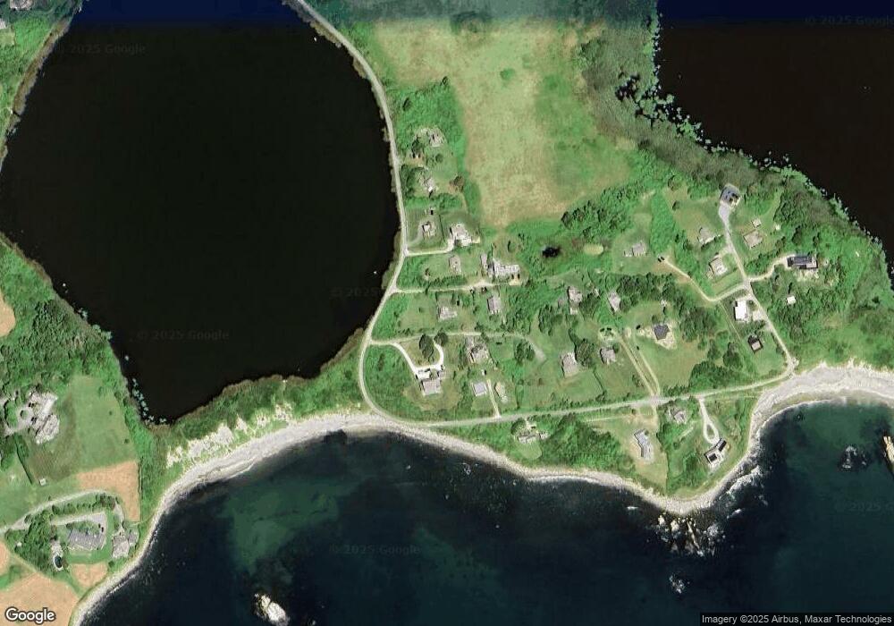
Map
Nearby Homes
- 50 Round Pond Rd
- 54 Round Pond Rd
- 80 Round Pond Rd
- 52 Round Pond Rd
- 60 Round Pond Rd
- 82 Round Pond Rd
- 58 Round Pond Rd
- 62 Round Pond Rd
- 48 Round Pond Rd
- 90 Round Pond Rd
- 92 Round Pond Rd
- 0 Round Pond Rd
- 70 Round Pond Rd
- 96 Round Pond Rd
- 38 Round Pond Rd
- 93 Round Pond Rd
- 72 Round Pond Rd
- 36 Round Pond Rd
- 98 Round Pond Rd
- 102 Round Pond Rd
Your Personal Tour Guide
Ask me questions while you tour the home.