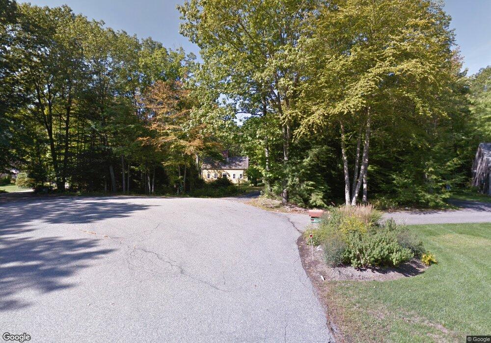
56 Russell Rd Eliot, ME 03903
South Eliot NeighborhoodEstimated Value: $685,000 - $1,078,000
3
Beds
3
Baths
2,093
Sq Ft
$462/Sq Ft
Est. Value
About This Home
This home is located at 56 Russell Rd, Eliot, ME 03903 and is currently estimated at $967,414, approximately $462 per square foot. 56 Russell Rd is a home located in York County with nearby schools including Marshwood High School and Seacoast Waldorf School.
Ownership History
Date
Name
Owned For
Owner Type
Purchase Details
Closed on
Apr 6, 2022
Sold by
Palazzo Ft and Arangio
Bought by
Carney Nicole and Carney Christopher
Current Estimated Value
Home Financials for this Owner
Home Financials are based on the most recent Mortgage that was taken out on this home.
Original Mortgage
$807,500
Outstanding Balance
$752,851
Interest Rate
3.89%
Mortgage Type
Purchase Money Mortgage
Estimated Equity
$214,563
Create a Home Valuation Report for This Property
The Home Valuation Report is an in-depth analysis detailing your home's value as well as a comparison with similar homes in the area
Home Values in the Area
Average Home Value in this Area
Purchase History
| Date | Buyer | Sale Price | Title Company |
|---|---|---|---|
| Carney Nicole | -- | None Available |
Source: Public Records
Mortgage History
| Date | Status | Borrower | Loan Amount |
|---|---|---|---|
| Open | Carney Nicole | $807,500 |
Source: Public Records
Tax History
| Year | Tax Paid | Tax Assessment Tax Assessment Total Assessment is a certain percentage of the fair market value that is determined by local assessors to be the total taxable value of land and additions on the property. | Land | Improvement |
|---|---|---|---|---|
| 2024 | $9,287 | $783,700 | $215,800 | $567,900 |
| 2023 | $9,959 | $813,000 | $207,000 | $606,000 |
| 2022 | $9,499 | $785,000 | $207,000 | $578,000 |
| 2021 | $6,900 | $511,100 | $147,800 | $363,300 |
| 2020 | $6,884 | $468,300 | $142,500 | $325,800 |
| 2019 | $6,884 | $468,300 | $142,500 | $325,800 |
| 2018 | $4,082 | $468,300 | $142,500 | $325,800 |
| 2017 | $4,134 | $468,300 | $142,500 | $325,800 |
| 2016 | $6,580 | $468,300 | $142,500 | $325,800 |
| 2015 | $6,488 | $463,400 | $142,500 | $320,900 |
| 2014 | $6,395 | $463,400 | $142,500 | $320,900 |
| 2013 | $6,103 | $463,400 | $142,500 | $320,900 |
Source: Public Records
Map
Nearby Homes
- 0 Cote Dr Unit 55B
- 21 Clearwater Dr
- 33 Little Bay Dr
- 348 Dover Point Rd
- 354 Dover Point Rd
- 13 Little Bay Dr
- 18 Little Bay Dr
- 0 Franks Fort Island Unit 1650383
- Slip B18 Little Bay
- 18 Deborah Ln
- 41 Clearwater Dr
- 220 Dover Point Rd
- 71 Shipwright Way
- 10 Shipwright Way
- 61 Beane Ln
- 25 Fosters Dr
- 25 Heritage Dr
- 18 Shipping Ln
- 30 Cedar Point Rd
- 42 Caslyn Dr
Your Personal Tour Guide
Ask me questions while you tour the home.