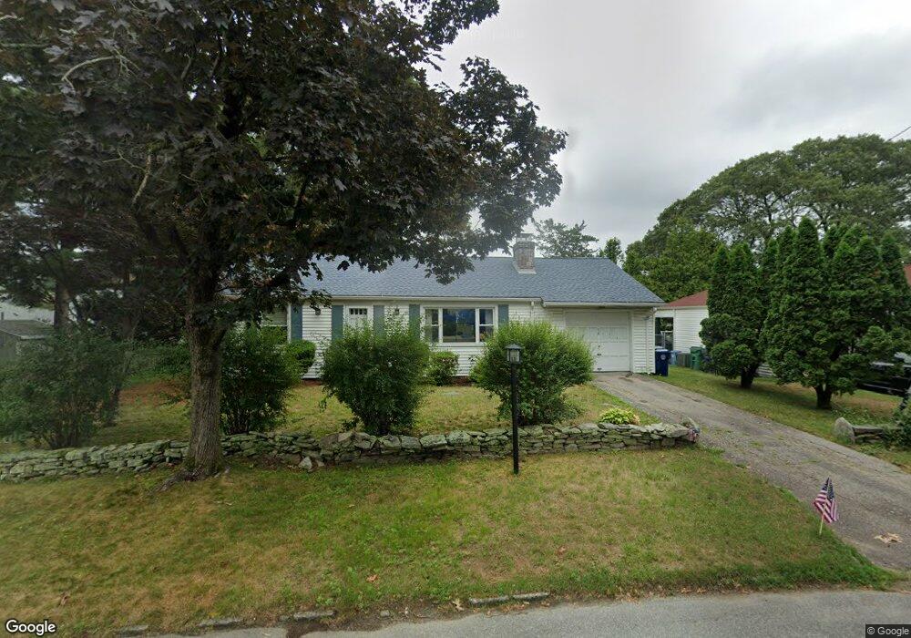
56 Scarsdale Rd Warwick, RI 02886
Greenwood NeighborhoodEstimated Value: $366,726 - $393,000
2
Beds
1
Bath
972
Sq Ft
$389/Sq Ft
Est. Value
About This Home
This home is located at 56 Scarsdale Rd, Warwick, RI 02886 and is currently estimated at $377,932, approximately $388 per square foot. 56 Scarsdale Rd is a home located in Kent County with nearby schools including Islamic School of Rhode Island, St Joseph School, and St Rose Of Lima School.
Ownership History
Date
Name
Owned For
Owner Type
Purchase Details
Closed on
May 25, 1994
Sold by
Thatcher James M and Thatcher Lemoyne
Bought by
Ionata David W and Ionata Jeanne
Current Estimated Value
Home Financials for this Owner
Home Financials are based on the most recent Mortgage that was taken out on this home.
Original Mortgage
$55,000
Interest Rate
8.22%
Mortgage Type
Purchase Money Mortgage
Create a Home Valuation Report for This Property
The Home Valuation Report is an in-depth analysis detailing your home's value as well as a comparison with similar homes in the area
Home Values in the Area
Average Home Value in this Area
Purchase History
| Date | Buyer | Sale Price | Title Company |
|---|---|---|---|
| Ionata David W | $99,000 | -- |
Source: Public Records
Mortgage History
| Date | Status | Borrower | Loan Amount |
|---|---|---|---|
| Open | Ionata David W | $48,000 | |
| Closed | Ionata David W | $55,000 |
Source: Public Records
Tax History Compared to Growth
Tax History
| Year | Tax Paid | Tax Assessment Tax Assessment Total Assessment is a certain percentage of the fair market value that is determined by local assessors to be the total taxable value of land and additions on the property. | Land | Improvement |
|---|---|---|---|---|
| 2025 | $4,211 | $331,600 | $112,200 | $219,400 |
| 2024 | $3,881 | $268,200 | $97,500 | $170,700 |
| 2023 | $3,806 | $268,200 | $97,500 | $170,700 |
| 2022 | $3,598 | $192,100 | $64,500 | $127,600 |
| 2021 | $3,598 | $192,100 | $64,500 | $127,600 |
| 2020 | $3,598 | $192,100 | $64,500 | $127,600 |
| 2019 | $3,598 | $192,100 | $64,500 | $127,600 |
| 2018 | $3,403 | $163,600 | $71,000 | $92,600 |
| 2017 | $3,311 | $163,600 | $71,000 | $92,600 |
| 2016 | $3,311 | $163,600 | $71,000 | $92,600 |
| 2015 | $2,886 | $139,100 | $57,200 | $81,900 |
| 2014 | $2,790 | $139,100 | $57,200 | $81,900 |
| 2013 | $2,753 | $139,100 | $57,200 | $81,900 |
Source: Public Records
Map
Nearby Homes
- 7 Rutherford Ct Unit 12
- 139 Lancaster Ave
- 63 Pond View Dr
- 333 Greenwood Ave
- 190 Chapmans Ave
- 25 Forbes St
- 1 Cassidy
- 69 Haverhill Ave
- 56 Cindy Ln
- 84 Spruce St
- 15 Burt St
- 6 Lillian Ct
- 52 Benefit St
- 846 Halifax Dr
- 28 Chatworth Ave
- 794 Williamsburg Cir
- 403 Commonwealth Ave
- 17 Larchmont Rd
- 765 Williamsburg Cir
- 123 Edman St
- 64 Scarsdale Rd
- 66 Lancaster Ave
- 72 Scarsdale Rd
- 55 Gorton Holden Terrace
- 90 Lancaster Ave
- 58 Lancaster Ave
- 51 Gorton Holden Terrace
- 52 Gorton Holden Terrace
- 50 Lancaster Ave
- 65 Rutherford Ave
- 67 Lancaster Ave
- 35 Scarsdale Rd
- 87 Lancaster Ave
- 57 Rutherford Ave
- 75 Scarsdale Rd
- 57 Lancaster Ave
- 102 Lancaster Ave
- 43 Gorton Holden Terrace
- 42 Lancaster Ave
- 95 Lancaster Ave