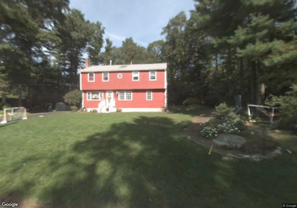
56 Sleigh Dr Hanson, MA 02341
Estimated Value: $623,293 - $733,000
5
Beds
2
Baths
2,000
Sq Ft
$349/Sq Ft
Est. Value
About This Home
This home is located at 56 Sleigh Dr, Hanson, MA 02341 and is currently estimated at $697,073, approximately $348 per square foot. 56 Sleigh Dr is a home located in Plymouth County with nearby schools including Cadence Academy Preschool - Hanover and Cardinal Cushing Centers.
Ownership History
Date
Name
Owned For
Owner Type
Purchase Details
Closed on
Dec 16, 2004
Sold by
John & Anne Irt and Ford Anne F
Bought by
Spano Thomas C and Spano Christine L
Current Estimated Value
Home Financials for this Owner
Home Financials are based on the most recent Mortgage that was taken out on this home.
Original Mortgage
$323,600
Outstanding Balance
$161,519
Interest Rate
5.68%
Mortgage Type
Purchase Money Mortgage
Estimated Equity
$535,554
Purchase Details
Closed on
May 4, 2004
Sold by
Ford John and Ford Anne F
Bought by
John & Anne Irt and Ford Anne F
Purchase Details
Closed on
Apr 20, 1993
Sold by
Tullis Robert D and Clancy Joseph P
Bought by
Ryder Christine L and Spano Thomas C
Create a Home Valuation Report for This Property
The Home Valuation Report is an in-depth analysis detailing your home's value as well as a comparison with similar homes in the area
Home Values in the Area
Average Home Value in this Area
Purchase History
| Date | Buyer | Sale Price | Title Company |
|---|---|---|---|
| Spano Thomas C | $404,500 | -- | |
| John & Anne Irt | -- | -- | |
| Ryder Christine L | $77,900 | -- |
Source: Public Records
Mortgage History
| Date | Status | Borrower | Loan Amount |
|---|---|---|---|
| Open | Ryder Christine L | $323,600 | |
| Closed | Ryder Christine L | $40,400 | |
| Previous Owner | Ryder Christine L | $250,000 |
Source: Public Records
Tax History
| Year | Tax Paid | Tax Assessment Tax Assessment Total Assessment is a certain percentage of the fair market value that is determined by local assessors to be the total taxable value of land and additions on the property. | Land | Improvement |
|---|---|---|---|---|
| 2025 | $6,537 | $488,600 | $181,000 | $307,600 |
| 2024 | $6,410 | $479,100 | $175,800 | $303,300 |
| 2023 | $6,295 | $443,900 | $175,800 | $268,100 |
| 2022 | $6,092 | $403,700 | $159,800 | $243,900 |
| 2021 | $2,456 | $364,900 | $153,700 | $211,200 |
| 2020 | $2,306 | $355,600 | $148,400 | $207,200 |
| 2019 | $5,192 | $334,300 | $145,600 | $188,700 |
| 2018 | $5,132 | $324,200 | $140,000 | $184,200 |
| 2017 | $4,976 | $311,400 | $133,300 | $178,100 |
| 2016 | $5,026 | $303,700 | $133,300 | $170,400 |
| 2015 | $4,770 | $299,600 | $133,300 | $166,300 |
Source: Public Records
Map
Nearby Homes
- 339 State St
- 430 Brook Bend Rd
- 108 Waterford Dr
- 177 Dwelley St
- 139 Fairwood Dr
- 114 Graham Hill Dr
- 95 Tecumseh Dr
- 51 Cervelli Farm Dr
- 37 Dr
- 23 Cervelli Farm Dr
- 38 Cervelli Farm Dr
- 9 Cervelli Farm Dr
- 250 Center St
- 51 Farmside Dr
- 36 Grove St
- 26 Stonebridge Dr
- 35 Sproul Rd
- 7 Farmside Dr
- 70 Bardin St
- 285 W Elm St
Your Personal Tour Guide
Ask me questions while you tour the home.