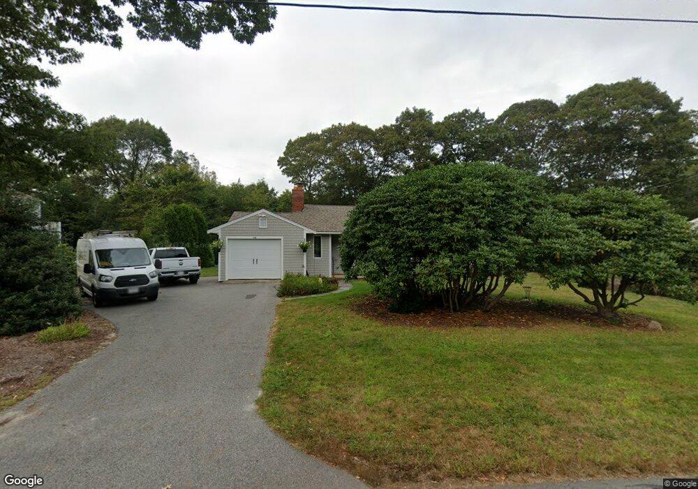
56 Starboard Dr East Falmouth, MA 02536
Estimated Value: $644,001 - $704,000
2
Beds
1
Bath
800
Sq Ft
$842/Sq Ft
Est. Value
About This Home
This home is located at 56 Starboard Dr, East Falmouth, MA 02536 and is currently estimated at $673,750, approximately $842 per square foot. 56 Starboard Dr is a home located in Barnstable County with nearby schools including Teaticket Elementary School, Morse Pond School, and Lawrence School.
Ownership History
Date
Name
Owned For
Owner Type
Purchase Details
Closed on
Jul 29, 2024
Sold by
Harrison Ann C
Bought by
Harrison Ann C and Harrison Glenn C
Current Estimated Value
Purchase Details
Closed on
Sep 16, 1996
Sold by
Pavao Thomas P and Pavao Janice E
Bought by
Peters Ann C
Purchase Details
Closed on
Jan 8, 1993
Sold by
Coleman Judith A
Bought by
Pavao Thomas P and Pavao Janice E
Create a Home Valuation Report for This Property
The Home Valuation Report is an in-depth analysis detailing your home's value as well as a comparison with similar homes in the area
Home Values in the Area
Average Home Value in this Area
Purchase History
| Date | Buyer | Sale Price | Title Company |
|---|---|---|---|
| Harrison Ann C | -- | None Available | |
| Harrison Ann C | -- | None Available | |
| Harrison Ann C | -- | None Available | |
| Peters Ann C | $105,000 | -- | |
| Pavao Thomas P | $89,000 | -- | |
| Peters Ann C | $105,000 | -- | |
| Pavao Thomas P | $89,000 | -- |
Source: Public Records
Mortgage History
| Date | Status | Borrower | Loan Amount |
|---|---|---|---|
| Previous Owner | Pavao Thomas P | $75,000 | |
| Previous Owner | Pavao Thomas P | $10,000 | |
| Previous Owner | Pavao Thomas P | $94,000 |
Source: Public Records
Tax History Compared to Growth
Tax History
| Year | Tax Paid | Tax Assessment Tax Assessment Total Assessment is a certain percentage of the fair market value that is determined by local assessors to be the total taxable value of land and additions on the property. | Land | Improvement |
|---|---|---|---|---|
| 2025 | $3,441 | $586,200 | $306,700 | $279,500 |
| 2024 | $3,279 | $522,100 | $267,000 | $255,100 |
| 2023 | $3,001 | $433,700 | $213,600 | $220,100 |
| 2022 | $3,129 | $388,700 | $199,700 | $189,000 |
| 2021 | $3,150 | $370,600 | $199,700 | $170,900 |
| 2020 | $3,028 | $352,500 | $181,600 | $170,900 |
| 2019 | $2,835 | $331,200 | $181,600 | $149,600 |
| 2018 | $2,786 | $324,000 | $181,600 | $142,400 |
| 2017 | $2,718 | $318,600 | $181,600 | $137,000 |
| 2016 | $2,663 | $318,200 | $181,600 | $136,600 |
| 2015 | $2,606 | $318,200 | $181,600 | $136,600 |
| 2014 | $2,588 | $317,600 | $181,600 | $136,000 |
Source: Public Records
Map
Nearby Homes
- 58 Striper Ln
- 16 Edgewood Dr
- 26 Sanddollar Cir
- 49 Rivers End Rd
- 13 Suncrest Dr
- 19 Moniz Way
- 9 Theroux Dr
- 37 Seashell Ln
- 7 Dexter Mill Dr
- 14 Avalon Dr
- 71 Seabrook Dr
- 90 E Harbor Dr
- 30 Weatherglass Ln
- Lot 7 Sailaway Ln
- 6 Sailaway Ln
- 52 Bacon Farm Rd
- 144 Strawberry Meadow Unit 144
- 144 Strawberry Meadows