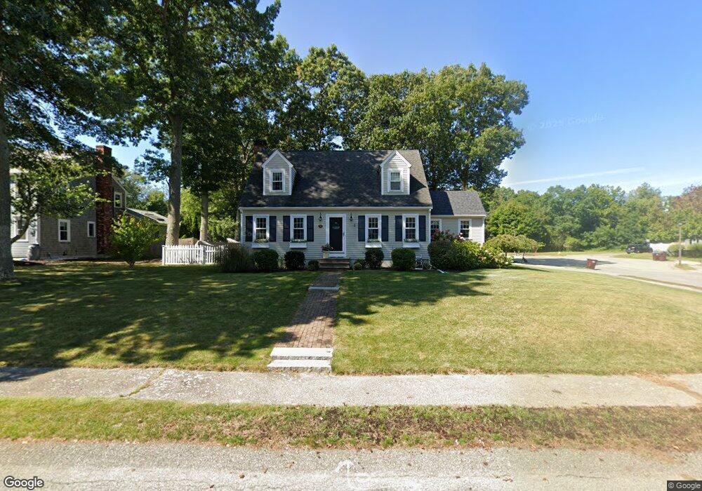
56 Station St Scituate, MA 02066
Estimated Value: $874,000 - $1,590,000
3
Beds
2
Baths
1,496
Sq Ft
$801/Sq Ft
Est. Value
About This Home
This home is located at 56 Station St, Scituate, MA 02066 and is currently estimated at $1,197,590, approximately $800 per square foot. 56 Station St is a home located in Plymouth County with nearby schools including Jenkins Elementary School, Lester J. Gates Middle School, and Scituate High School.
Ownership History
Date
Name
Owned For
Owner Type
Purchase Details
Closed on
May 27, 1994
Sold by
Sacchitella Michael J and Sacchitella Mary E
Bought by
Durkin Joseph and Durkin Carolyn
Current Estimated Value
Purchase Details
Closed on
Apr 20, 1988
Sold by
Stone Carroll Inc
Bought by
Sacchitella Michael J
Create a Home Valuation Report for This Property
The Home Valuation Report is an in-depth analysis detailing your home's value as well as a comparison with similar homes in the area
Home Values in the Area
Average Home Value in this Area
Purchase History
| Date | Buyer | Sale Price | Title Company |
|---|---|---|---|
| Durkin Joseph | $201,000 | -- | |
| Sacchitella Michael J | $202,400 | -- |
Source: Public Records
Mortgage History
| Date | Status | Borrower | Loan Amount |
|---|---|---|---|
| Open | Sacchitella Michael J | $338,510 | |
| Closed | Sacchitella Michael J | $59,000 |
Source: Public Records
Tax History
| Year | Tax Paid | Tax Assessment Tax Assessment Total Assessment is a certain percentage of the fair market value that is determined by local assessors to be the total taxable value of land and additions on the property. | Land | Improvement |
|---|---|---|---|---|
| 2025 | $9,265 | $927,400 | $360,900 | $566,500 |
| 2024 | $9,155 | $883,700 | $328,100 | $555,600 |
| 2023 | $8,823 | $814,900 | $314,800 | $500,100 |
| 2022 | $8,823 | $699,100 | $279,300 | $419,800 |
| 2021 | $8,302 | $622,800 | $266,000 | $356,800 |
| 2020 | $8,095 | $599,600 | $255,800 | $343,800 |
| 2019 | $6,543 | $476,200 | $250,700 | $225,500 |
| 2018 | $5,945 | $426,200 | $263,800 | $162,400 |
| 2017 | $5,857 | $415,700 | $253,300 | $162,400 |
| 2016 | $5,580 | $394,600 | $232,200 | $162,400 |
| 2015 | $5,030 | $384,000 | $221,600 | $162,400 |
Source: Public Records
Map
Nearby Homes
- 46 Tilden Rd
- 50 First Parish Rd
- 1 Washington Ln
- 111 Elm St
- 38 Lauren Ln
- 115 Elm St
- 20 Lee Ave
- 91 Front St Unit 106
- 25 Morton Place
- 20 Grace Way Unit 20
- 6 Grace Way Unit 6
- 27 Grace Way
- 59 Greenfield Ln
- 21 Jenkins Place
- 49 Jackson Rd
- 11 Brookline Rd
- 98 Satuit Trail
- 327 Country Way
- 19 Ford Place Unit 1
- 19 Ford Place Unit 2
- 66 Station St
- 46 Station St
- 46 Station St Unit 1
- 30 Station St
- 55 Station St
- 67 Station St
- 45 Station St
- 36 Station St
- 38 Station St
- 38 Station St Unit 38
- 38 Station St Unit 1,38
- 76 Station St
- 20 Station St
- 6 Roslin Rd
- 77 Station St
- 3 Chester St
- 4 Roslin Rd
- 129 First Parish Rd
- 141 First Parish Rd
- 5 Roslin Rd
Your Personal Tour Guide
Ask me questions while you tour the home.