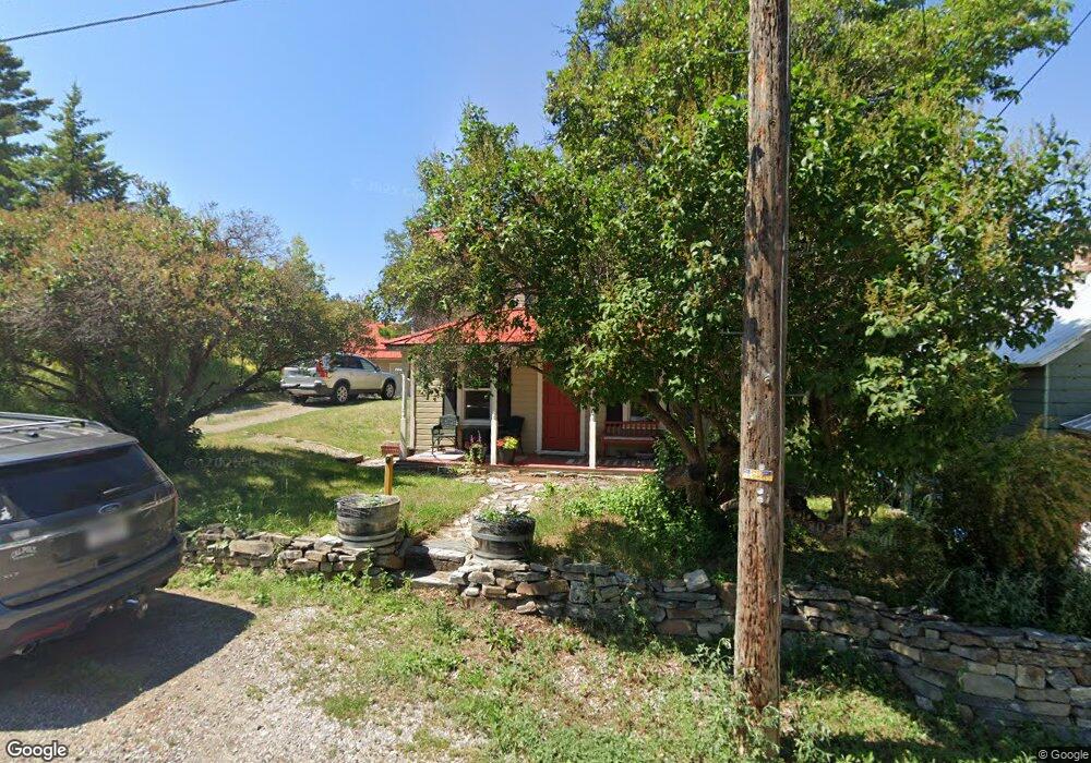
56 Summit Ave Somers, MT 59932
Estimated Value: $383,000 - $559,252
1
Bed
1
Bath
1,596
Sq Ft
$294/Sq Ft
Est. Value
About This Home
This home is located at 56 Summit Ave, Somers, MT 59932 and is currently estimated at $469,063, approximately $293 per square foot. 56 Summit Ave is a home located in Flathead County with nearby schools including Lakeside Elementary School, Somers Middle School, and Flathead High School.
Ownership History
Date
Name
Owned For
Owner Type
Purchase Details
Closed on
Aug 13, 2024
Sold by
Empty Nest Properties Llc and Empty Nest Properties Limited Liability
Bought by
Pagano Nancy
Current Estimated Value
Home Financials for this Owner
Home Financials are based on the most recent Mortgage that was taken out on this home.
Original Mortgage
$370,000
Outstanding Balance
$365,877
Interest Rate
6.95%
Mortgage Type
New Conventional
Estimated Equity
$103,186
Purchase Details
Closed on
Feb 26, 2020
Sold by
Bottomly Joe and Conners Sheila
Bought by
Empty Nest Properties Llc
Create a Home Valuation Report for This Property
The Home Valuation Report is an in-depth analysis detailing your home's value as well as a comparison with similar homes in the area
Purchase History
| Date | Buyer | Sale Price | Title Company |
|---|---|---|---|
| Pagano Nancy | -- | Fidelity National Title | |
| Empty Nest Properties Llc | -- | None Available |
Source: Public Records
Mortgage History
| Date | Status | Borrower | Loan Amount |
|---|---|---|---|
| Open | Pagano Nancy | $370,000 |
Source: Public Records
Tax History
| Year | Tax Paid | Tax Assessment Tax Assessment Total Assessment is a certain percentage of the fair market value that is determined by local assessors to be the total taxable value of land and additions on the property. | Land | Improvement |
|---|---|---|---|---|
| 2025 | $1,290 | $417,800 | $0 | $0 |
| 2024 | $1,716 | $314,400 | $0 | $0 |
| 2023 | $2,254 | $314,400 | $0 | $0 |
| 2022 | $1,664 | $214,900 | $0 | $0 |
| 2021 | $1,834 | $233,200 | $0 | $0 |
| 2020 | $1,309 | $155,100 | $0 | $0 |
| 2019 | $1,261 | $155,100 | $0 | $0 |
| 2018 | $1,221 | $143,155 | $0 | $0 |
| 2017 | $1,009 | $143,155 | $0 | $0 |
| 2016 | $1,054 | $136,900 | $0 | $0 |
| 2015 | $545 | $136,900 | $0 | $0 |
| 2014 | $1,663 | $135,362 | $0 | $0 |
Source: Public Records
Map
Nearby Homes
- 42 Happy Hollow
- 34 Happy Hollow
- 380 S Eighty Dr
- 118 Valley Vista Dr
- Nhn (Tract 10) Boon Rd
- Nhn (Tract 7) Boon Rd
- Nhn (Tract 9) Boon Rd
- NHN Montana 82
- Tr 8,9,10 Montana 82
- NKN Montana 82
- 1164 Montana 82
- 936 Montana 82
- 396 N Juniper Bay Rd Unit 15
- 1237 Mackinaw Loop
- 1183 Mackinaw Loop
- Nhn Hard Rock Rd
- 685 N Juniper Bay Rd
- 200 Westridge Dr
- 898 Elias Ln
- 1040 Mt Highway 82
- 52 Summit Ave
- Nhn Summit Ave
- 57 Summit Ave
- 61 Summit Ave
- 51 Summit Ave
- 65 Summit Ave
- 44 Summit Ave
- 49 Summit Ave
- 45 Summit Ave
- 41 Summit Ave
- 62 Swede Hill Ave
- 70 Summit Ave
- 36 Summit Ave
- 51 Swede Hill Ave
- 28 Summit Ave
- 43 Swede Hill Ave
- 29 Summit Ave
- 64 Swede Hill Ave
- 59 Swede Hill Ave
- 82 Summit Ave
Your Personal Tour Guide
Ask me questions while you tour the home.