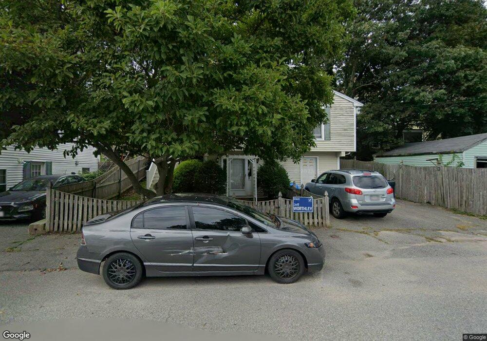
56 Taylor St Gloucester, MA 01930
Central Gloucester NeighborhoodEstimated Value: $608,000 - $632,000
3
Beds
2
Baths
1,384
Sq Ft
$447/Sq Ft
Est. Value
About This Home
This home is located at 56 Taylor St, Gloucester, MA 01930 and is currently estimated at $618,631, approximately $446 per square foot. 56 Taylor St is a home located in Essex County with nearby schools including East Veterans Memorial Elementary, Ralph B O'maley Middle School, and Gloucester High School.
Ownership History
Date
Name
Owned For
Owner Type
Purchase Details
Closed on
Sep 12, 2002
Sold by
Pina Stpehen B and Pina Charlene H
Bought by
Koller Gregory S and Koller Donna M
Current Estimated Value
Home Financials for this Owner
Home Financials are based on the most recent Mortgage that was taken out on this home.
Original Mortgage
$75,000
Outstanding Balance
$31,878
Interest Rate
6.48%
Mortgage Type
Purchase Money Mortgage
Estimated Equity
$586,753
Create a Home Valuation Report for This Property
The Home Valuation Report is an in-depth analysis detailing your home's value as well as a comparison with similar homes in the area
Home Values in the Area
Average Home Value in this Area
Purchase History
| Date | Buyer | Sale Price | Title Company |
|---|---|---|---|
| Koller Gregory S | $260,000 | -- |
Source: Public Records
Mortgage History
| Date | Status | Borrower | Loan Amount |
|---|---|---|---|
| Open | Koller Gregory S | $25,000 | |
| Open | Koller Gregory S | $75,000 | |
| Previous Owner | Koller Gregory S | $20,000 | |
| Previous Owner | Koller Gregory S | $95,000 |
Source: Public Records
Tax History
| Year | Tax Paid | Tax Assessment Tax Assessment Total Assessment is a certain percentage of the fair market value that is determined by local assessors to be the total taxable value of land and additions on the property. | Land | Improvement |
|---|---|---|---|---|
| 2025 | $5,260 | $541,200 | $143,200 | $398,000 |
| 2024 | $5,444 | $559,500 | $136,400 | $423,100 |
| 2023 | $5,161 | $487,300 | $121,800 | $365,500 |
| 2022 | $4,795 | $408,800 | $105,900 | $302,900 |
| 2021 | $4,707 | $378,400 | $96,300 | $282,100 |
| 2020 | $4,409 | $357,600 | $96,300 | $261,300 |
| 2019 | $4,021 | $316,900 | $96,300 | $220,600 |
| 2018 | $4,034 | $312,000 | $96,300 | $215,700 |
| 2017 | $3,727 | $282,600 | $86,700 | $195,900 |
| 2016 | $3,590 | $263,800 | $86,700 | $177,100 |
| 2015 | $3,408 | $249,700 | $86,700 | $163,000 |
Source: Public Records
Map
Nearby Homes
- 36 Eastern Ave
- 14R Spring St Unit 3
- 11 Wall St Unit R
- 50 Warner St
- 3 Mondello Square
- 40 Sargent St
- 113 Pleasant St
- 70 Bass Ave
- 33 Maplewood Ave Unit 310
- 12 Arthur St
- 191 Main St Unit 3
- 191 Main St Unit 2A
- 9 Cleveland Place
- 26 Marina Dr
- 197 E Main St Unit 1
- 98 Maplewood Ave
- 8 Mystic Ave
- 35 Middle St Unit 4
- 33 Middle St
- 60 Rocky Neck Ave Unit 202
Your Personal Tour Guide
Ask me questions while you tour the home.