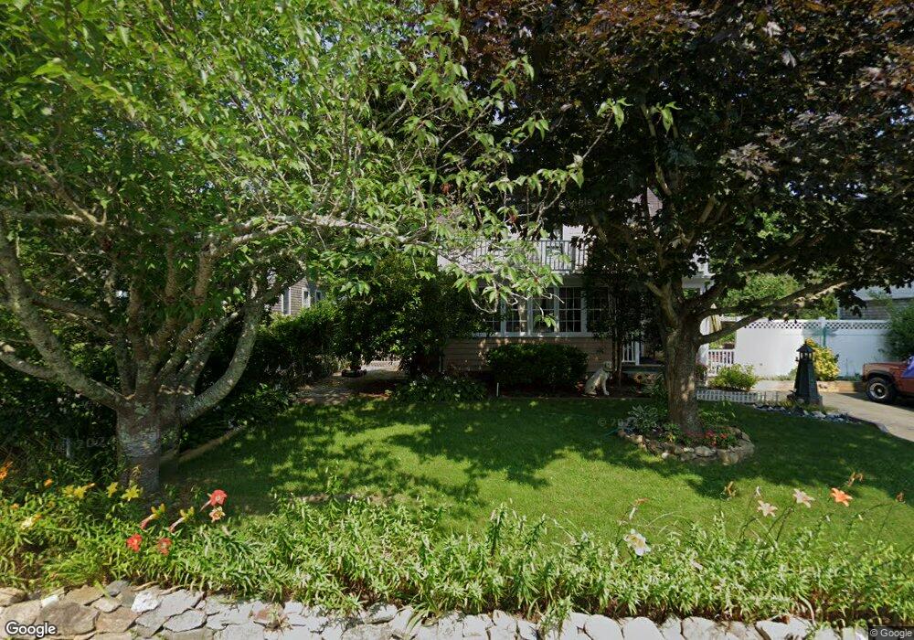
56 Thorne Rd Bourne, MA 2532
Estimated Value: $560,062 - $746,000
3
Beds
1
Bath
1,376
Sq Ft
$450/Sq Ft
Est. Value
About This Home
This home is located at 56 Thorne Rd, Bourne, MA 2532 and is currently estimated at $618,516, approximately $449 per square foot. 56 Thorne Rd is a home located in Barnstable County with nearby schools including Bourne High School, St Margaret Regional School, and Cadence Academy Preschool - Bourne.
Ownership History
Date
Name
Owned For
Owner Type
Purchase Details
Closed on
Jun 2, 1997
Sold by
Keating Catherine J and Keeffe Joseph G
Bought by
Hapenny Glenn P and Hapenny Jane C
Current Estimated Value
Create a Home Valuation Report for This Property
The Home Valuation Report is an in-depth analysis detailing your home's value as well as a comparison with similar homes in the area
Purchase History
| Date | Buyer | Sale Price | Title Company |
|---|---|---|---|
| Hapenny Glenn P | $115,000 | -- | |
| Hapenny Glenn P | $115,000 | -- |
Source: Public Records
Mortgage History
| Date | Status | Borrower | Loan Amount |
|---|---|---|---|
| Open | Hapenny Glenn P | $40,000 | |
| Open | Hapenny Glenn P | $206,000 |
Source: Public Records
Tax History
| Year | Tax Paid | Tax Assessment Tax Assessment Total Assessment is a certain percentage of the fair market value that is determined by local assessors to be the total taxable value of land and additions on the property. | Land | Improvement |
|---|---|---|---|---|
| 2025 | $3,757 | $481,100 | $233,800 | $247,300 |
| 2024 | $3,675 | $458,200 | $222,700 | $235,500 |
| 2023 | $3,575 | $405,800 | $197,100 | $208,700 |
| 2022 | $3,394 | $336,400 | $174,400 | $162,000 |
| 2021 | $3,302 | $306,600 | $158,700 | $147,900 |
| 2020 | $3,271 | $304,600 | $157,200 | $147,400 |
| 2019 | $3,301 | $314,100 | $174,700 | $139,400 |
| 2018 | $3,155 | $299,300 | $166,400 | $132,900 |
| 2017 | $3,053 | $296,400 | $164,800 | $131,600 |
| 2016 | $2,617 | $257,600 | $148,300 | $109,300 |
| 2015 | $2,372 | $235,600 | $126,300 | $109,300 |
Source: Public Records
Map
Nearby Homes
- 60 Bourne Neck Dr
- 35 Benedict Rd
- 5 Zoli Ln
- 46 Holt Rd Unit B
- 46 Holt Rd
- 40-A Lafayette Ave
- 4 Van Bummel Rd
- 203 County Rd
- 13 Laurel Hill Ct
- 44 Cotuit Rd
- 56 Rip Van Winkle Way
- 2 Applewood Ct
- 5 Sea Knoll Ct
- 60 Sandwich Rd
- 38 Old Bridge Rd
- 3 Honora Ln Unit 3
- 6 Honora Ct
- 12 Turnberry Rd Unit 12
- 3 Fairway Dr Unit F
- 4 Hollyhock Knoll Ct Unit 4
Your Personal Tour Guide
Ask me questions while you tour the home.