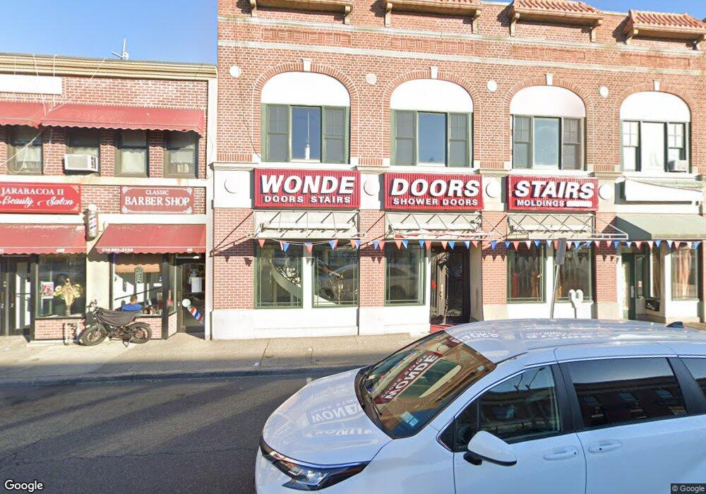
56 W Merrick Rd Unit 1 Freeport, NY 11520
Estimated Value: $1,457,000
--
Bed
--
Bath
33,875
Sq Ft
$43/Sq Ft
Est. Value
About This Home
This home is located at 56 W Merrick Rd Unit 1, Freeport, NY 11520 and is currently estimated at $1,457,000, approximately $43 per square foot. 56 W Merrick Rd Unit 1 is a home located in Nassau County with nearby schools including Columbus Avenue School, Caroline G. Atkinson Intermediate School, and John W Dodd Middle School.
Ownership History
Date
Name
Owned For
Owner Type
Purchase Details
Closed on
May 22, 2023
Sold by
Tammam Nessim
Bought by
Mayland Group Llc
Current Estimated Value
Purchase Details
Closed on
May 26, 2010
Sold by
Goldstien Elliot
Bought by
56 Llc
Purchase Details
Closed on
Jan 23, 1996
Sold by
North Fork Bank
Bought by
Goldstein Elliot
Create a Home Valuation Report for This Property
The Home Valuation Report is an in-depth analysis detailing your home's value as well as a comparison with similar homes in the area
Home Values in the Area
Average Home Value in this Area
Purchase History
| Date | Buyer | Sale Price | Title Company |
|---|---|---|---|
| Mayland Group Llc | $1,700,000 | Ridge Abstract Corp | |
| Mayland Group Llc | $1,700,000 | Ridge Abstract Corp | |
| Mayland Group Llc | $1,700,000 | Ridge Abstract Corp | |
| Tammam Nessim | -- | Old Republic Natl Ttl Ins Co | |
| Tammam Nessim | -- | Old Republic Natl Ttl Ins Co | |
| 56 Llc | $750,000 | -- | |
| 56 Llc | $750,000 | -- | |
| Goldstein Elliot | $160,000 | -- | |
| Goldstein Elliot | $160,000 | -- |
Source: Public Records
Tax History Compared to Growth
Tax History
| Year | Tax Paid | Tax Assessment Tax Assessment Total Assessment is a certain percentage of the fair market value that is determined by local assessors to be the total taxable value of land and additions on the property. | Land | Improvement |
|---|---|---|---|---|
| 2025 | $60,416 | $16,524 | $2,510 | $14,014 |
| 2024 | $7,504 | $20,313 | $3,085 | $17,228 |
| 2023 | $55,997 | $20,313 | $3,085 | $17,228 |
| 2022 | $52,062 | $20,313 | $3,085 | $17,228 |
| 2021 | $44,810 | $15,473 | $2,483 | $12,990 |
| 2020 | $40,518 | $7,204 | $3,335 | $3,869 |
| 2019 | $7,389 | $7,204 | $3,335 | $3,869 |
| 2018 | $23,909 | $7,204 | $0 | $0 |
| 2017 | $32,072 | $7,204 | $3,335 | $3,869 |
| 2016 | $41,336 | $7,204 | $3,335 | $3,869 |
| 2015 | $5,008 | $7,204 | $3,335 | $3,869 |
| 2014 | $5,008 | $7,204 | $3,335 | $3,869 |
| 2013 | $4,736 | $7,204 | $3,335 | $3,869 |
Source: Public Records
Map
Nearby Homes
- 70 S Main St Unit 307-PH
- 124 Smith St Unit 1B
- 124 Smith St Unit 3B
- 158 Church St
- 100 S Ocean Ave Unit 4A
- 100 S Ocean Ave Unit 3m
- 137 Smith St Unit A4
- 145 Smith St Unit D4
- 153 Smith St Unit F22
- 149 Smith St Unit e-22
- 150 S Ocean Ave Unit 4-H
- 55 S Bergen Place Unit 3F
- 194 Smith St Unit 3P
- 194 Smith St Unit 1
- 190 W Merrick Rd Unit 4E
- 47 East Ave
- 61 East Ave
- 222 Smith St Unit 1B
- 222 Smith St Unit 3C
- 18 Halsey St
- 56 W Merrick Rd Unit 2
- 52 A W Merrick Rd Merricck
- 80 Church St
- 43 W Merrick Rd
- 80 W Merrick Rd
- 77a W Merrick Rd
- 79 W Merrick Rd
- 30 W Merrick Rd
- 77 W Merrick Rd
- 53 Church St
- 87 W Merrick Rd
- 31 W Merrick Rd Unit 2
- 31 W Merrick Rd
- 24 W Merrick Rd
- 57 Church St
- 27 W Merrick Rd
- 26 Cottage Ct
- 92 W Merrick Rd
- 51 Church St
- 77 Guy Lombardo Ave