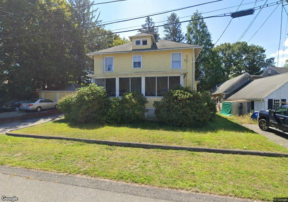
56 Wampatuck Rd Braintree, MA 02184
Braintree Highlands NeighborhoodEstimated Value: $704,927 - $770,000
4
Beds
2
Baths
1,748
Sq Ft
$419/Sq Ft
Est. Value
About This Home
This home is located at 56 Wampatuck Rd, Braintree, MA 02184 and is currently estimated at $731,982, approximately $418 per square foot. 56 Wampatuck Rd is a home located in Norfolk County with nearby schools including Braintree High School, Boston Higashi School, and Lighthouse Baptist Christian Academy.
Ownership History
Date
Name
Owned For
Owner Type
Purchase Details
Closed on
Jan 18, 1974
Bought by
Avitable Peter and Avitable Grace E
Current Estimated Value
Create a Home Valuation Report for This Property
The Home Valuation Report is an in-depth analysis detailing your home's value as well as a comparison with similar homes in the area
Home Values in the Area
Average Home Value in this Area
Purchase History
| Date | Buyer | Sale Price | Title Company |
|---|---|---|---|
| Avitable Peter | $20,000 | -- |
Source: Public Records
Mortgage History
| Date | Status | Borrower | Loan Amount |
|---|---|---|---|
| Open | Avitable Peter | $140,000 | |
| Closed | Avitable Peter | $148,500 | |
| Closed | Avitable Peter | $130,000 |
Source: Public Records
Tax History Compared to Growth
Tax History
| Year | Tax Paid | Tax Assessment Tax Assessment Total Assessment is a certain percentage of the fair market value that is determined by local assessors to be the total taxable value of land and additions on the property. | Land | Improvement |
|---|---|---|---|---|
| 2025 | $6,374 | $638,700 | $367,100 | $271,600 |
| 2024 | $5,634 | $594,300 | $333,300 | $261,000 |
| 2023 | $5,334 | $546,500 | $299,500 | $247,000 |
| 2022 | $5,149 | $517,500 | $270,500 | $247,000 |
| 2021 | $4,751 | $477,500 | $244,400 | $233,100 |
| 2020 | $4,489 | $455,300 | $222,200 | $233,100 |
| 2019 | $4,250 | $421,200 | $212,500 | $208,700 |
| 2018 | $4,147 | $393,500 | $193,200 | $200,300 |
| 2017 | $4,033 | $375,500 | $183,500 | $192,000 |
| 2016 | $3,895 | $354,700 | $173,900 | $180,800 |
| 2015 | $3,529 | $318,800 | $144,900 | $173,900 |
| 2014 | $3,431 | $300,400 | $139,100 | $161,300 |
Source: Public Records
Map
Nearby Homes
- 16 Winthrop Ave
- 61 Woodside Ave
- 1579 Washington St
- 661 North St
- 700 North St
- 7 Drake St
- 469 North St
- 38 Mcdevitt Rd
- 184 Richard Rd
- 44 Livoli Ave
- 116 Cardinal Ct
- 1696 Liberty St
- 6 E Division St
- 1501 Liberty St
- 115 Richard Rd
- 26 Highland Ave
- 614 Pond St Unit 1217
- 614 Pond St Unit 2104
- 614 Pond St Unit 1405
- 614 Pond St Unit 1415
- 60 Wampatuck Rd
- 40 Wampatuck Rd
- 97 Beals Rd
- 65 Hillview Rd
- 53 Wampatuck Rd
- 57 Wampatuck Rd
- 57 Hillview Rd
- 51 Hillview Rd
- 45 Wampatuck Rd
- 71 Hillview Rd
- 36 Wampatuck Rd
- 60 Hillview Rd
- 58 Hillview Rd
- 62 Hillview Rd
- 50 Hillview Rd
- 41 Wampatuck Rd
- 70 Hillview Rd
- 32 Wampatuck Rd
- 39 Wampatuck Rd
- 28 Wampatuck Rd