56 Wild Acres Rd Raymond, ME 04071
Estimated Value: $1,003,565 - $1,247,000
2
Beds
1
Bath
1,176
Sq Ft
$929/Sq Ft
Est. Value
About This Home
This home is located at 56 Wild Acres Rd, Raymond, ME 04071 and is currently estimated at $1,092,141, approximately $928 per square foot. 56 Wild Acres Rd is a home located in Cumberland County with nearby schools including Raymond Elementary School, Jordan-Small Middle School, and Windham High School.
Ownership History
Date
Name
Owned For
Owner Type
Purchase Details
Closed on
Mar 29, 2010
Sold by
Dignard Normand J and Dignard Patricia A
Bought by
Moeri David J and Moeri Mary A
Current Estimated Value
Home Financials for this Owner
Home Financials are based on the most recent Mortgage that was taken out on this home.
Original Mortgage
$200,000
Outstanding Balance
$133,339
Interest Rate
5.02%
Mortgage Type
Purchase Money Mortgage
Estimated Equity
$958,802
Create a Home Valuation Report for This Property
The Home Valuation Report is an in-depth analysis detailing your home's value as well as a comparison with similar homes in the area
Home Values in the Area
Average Home Value in this Area
Purchase History
| Date | Buyer | Sale Price | Title Company |
|---|---|---|---|
| Moeri David J | -- | -- |
Source: Public Records
Mortgage History
| Date | Status | Borrower | Loan Amount |
|---|---|---|---|
| Open | Moeri David J | $200,000 | |
| Previous Owner | Moeri David J | $15,000 |
Source: Public Records
Tax History Compared to Growth
Tax History
| Year | Tax Paid | Tax Assessment Tax Assessment Total Assessment is a certain percentage of the fair market value that is determined by local assessors to be the total taxable value of land and additions on the property. | Land | Improvement |
|---|---|---|---|---|
| 2024 | $8,122 | $472,200 | $272,600 | $199,600 |
| 2023 | $7,508 | $472,200 | $272,600 | $199,600 |
| 2022 | $7,083 | $472,200 | $272,600 | $199,600 |
| 2021 | $6,658 | $472,200 | $272,600 | $199,600 |
| 2019 | $6,342 | $471,500 | $272,600 | $198,900 |
| 2018 | $4,263 | $338,300 | $272,600 | $65,700 |
| 2017 | $4,360 | $354,500 | $272,600 | $81,900 |
| 2016 | $4,289 | $354,500 | $272,600 | $81,900 |
| 2015 | $4,236 | $354,500 | $272,600 | $81,900 |
| 2014 | $4,183 | $354,500 | $272,600 | $81,900 |
| 2013 | $3,988 | $354,500 | $272,600 | $81,900 |
Source: Public Records
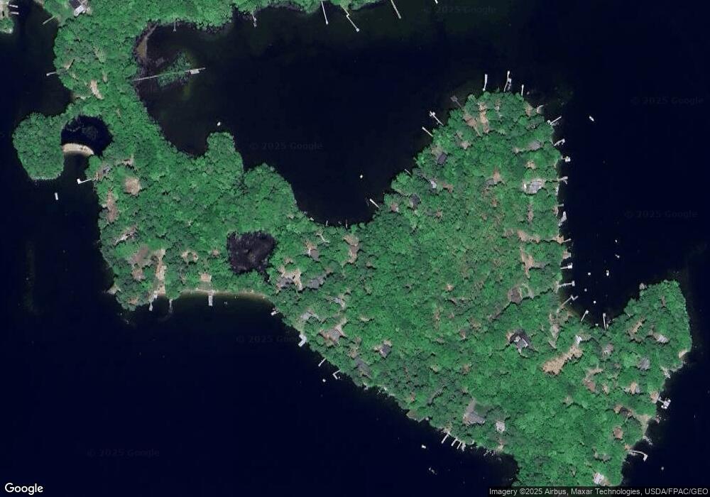
Map
Nearby Homes
- 59 Wild Acres Rd
- 7 Papoose Island Rd
- 7 Wild Acres Rd
- 17 Blueberry Point Rd
- 12 Hillside Dr
- 72 Sand Beach Rd
- 194 Hearthside Rd
- 79 Whites Point Rd
- 361 Cape Rd
- 11 Clover Ln
- 34 Stoneridge Dr
- 1042 Roosevelt Trail
- 1083 Roosevelt Trail
- 103 Basin Rd
- 46 Windward Shore Rd
- 36 Whites Bridge Rd Unit 8
- 99 Enterprise Dr
- 34 Trails End Rd
- 6 Gilman Rd
- lot #8 Bedrock Terrace
- 145 Wild Acres Rd
- 67 Wild Acres Rd
- 63 Wild Acres Rd
- 2 Tadpole Ln
- 4 Tadpole Ln
- 57 Wild Acres Rd
- 6 Tadpole Ln
- 143 Wild Acres Rd
- 61 Wild Acres Rd
- 141 Wild Acres Rd
- 139 Wild Acres Rd
- 43 Wild Acres
- 164 Wild Acres Rd
- 137 Wild Acres Rd
- 17 Point of Cape Rd
- 19 Point of Cape Rd
- 71 Wild Acres Rd
- 119 Wild Acres Rd
- 117 Wild Acres Rd
- 133 Wild Acres Rd