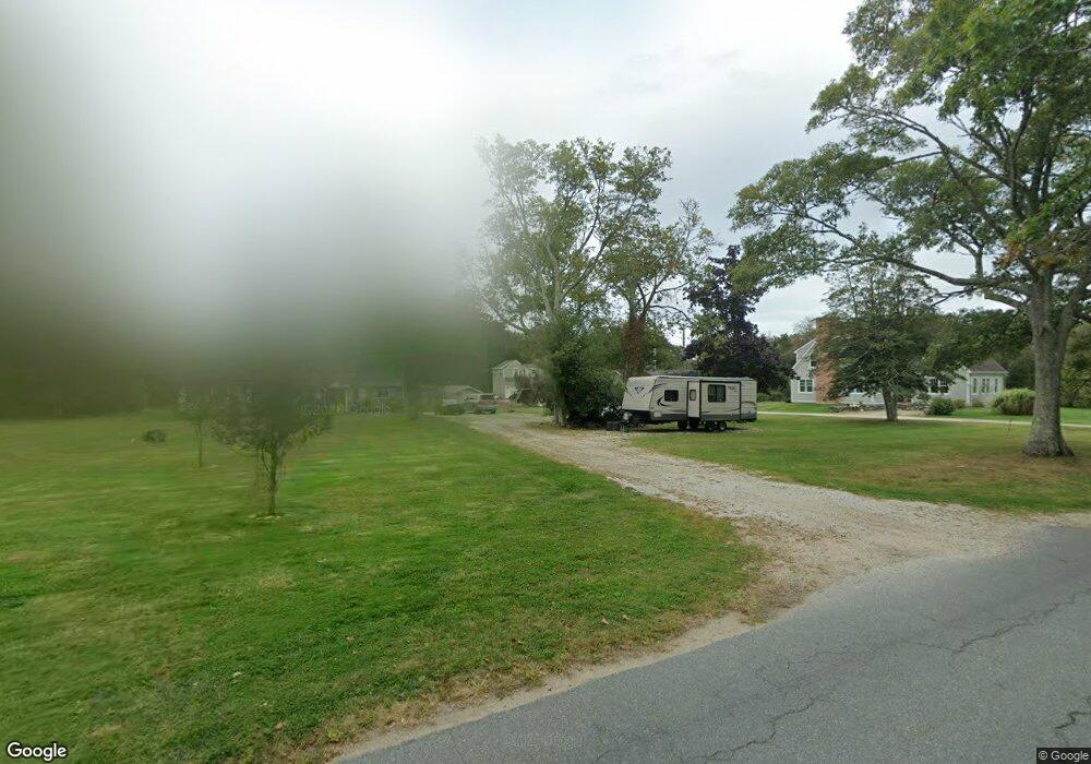
56 William Sisson Rd Little Compton, RI 02837
Estimated Value: $976,374 - $1,232,000
3
Beds
3
Baths
2,297
Sq Ft
$479/Sq Ft
Est. Value
About This Home
This home is located at 56 William Sisson Rd, Little Compton, RI 02837 and is currently estimated at $1,101,344, approximately $479 per square foot. 56 William Sisson Rd is a home located in Newport County with nearby schools including Wilbur & McMahon School.
Ownership History
Date
Name
Owned For
Owner Type
Purchase Details
Closed on
Oct 26, 2012
Sold by
Gill Brenda L
Bought by
Gill Matthew J and Gill Brenda L
Current Estimated Value
Home Financials for this Owner
Home Financials are based on the most recent Mortgage that was taken out on this home.
Original Mortgage
$305,000
Outstanding Balance
$210,948
Interest Rate
3.56%
Mortgage Type
New Conventional
Estimated Equity
$890,396
Purchase Details
Closed on
May 1, 1986
Bought by
Gill Matthew J and Gill Brenda L
Create a Home Valuation Report for This Property
The Home Valuation Report is an in-depth analysis detailing your home's value as well as a comparison with similar homes in the area
Home Values in the Area
Average Home Value in this Area
Purchase History
| Date | Buyer | Sale Price | Title Company |
|---|---|---|---|
| Gill Matthew J | -- | -- | |
| Gill Matthew J | -- | -- |
Source: Public Records
Mortgage History
| Date | Status | Borrower | Loan Amount |
|---|---|---|---|
| Open | Gill Matthew J | $305,000 | |
| Closed | Gill Matthew J | $15,000 | |
| Previous Owner | Gill Matthew J | $235,000 | |
| Previous Owner | Gill Matthew J | $290,000 |
Source: Public Records
Tax History
| Year | Tax Paid | Tax Assessment Tax Assessment Total Assessment is a certain percentage of the fair market value that is determined by local assessors to be the total taxable value of land and additions on the property. | Land | Improvement |
|---|---|---|---|---|
| 2025 | $3,436 | $717,300 | $222,400 | $494,900 |
| 2024 | $3,278 | $645,300 | $195,100 | $450,200 |
| 2023 | $3,201 | $645,300 | $195,100 | $450,200 |
| 2022 | $3,162 | $645,300 | $195,100 | $450,200 |
| 2021 | $2,873 | $475,700 | $171,900 | $303,800 |
| 2020 | $2,849 | $475,700 | $171,900 | $303,800 |
| 2019 | $2,821 | $475,700 | $171,900 | $303,800 |
| 2018 | $2,982 | $500,300 | $180,200 | $320,100 |
| 2016 | $2,837 | $500,300 | $180,200 | $320,100 |
| 2015 | $2,809 | $488,600 | $165,300 | $323,300 |
| 2014 | $2,591 | $459,400 | $165,300 | $294,100 |
Source: Public Records
Map
Nearby Homes
- 128 Maple Ave
- 138 Willow Ave
- 141 S Of Commons Rd
- 89 S Shore Rd
- 0 Willow Ave
- 30 Indian Rd
- 505 Long Hwy
- 49 Ocean Dr
- 255 John Dyer Rd
- 141 Peckham Rd
- 38 Old Bull Ln
- 245 John Dyer Rd
- 140I Long Hwy
- 140 Long Hwy
- 180 W Main Rd
- 441 W Main Rd
- 116 Amy Hart Path
- 17 Amy Hart Path
- 1 Puddingstone Cir
- 17 Ferolbink Way
- 46 William Sisson Rd
- 46 William Sisson Rd
- 54 William Sisson Rd
- 42 William Sisson Rd
- 44B William Sisson Rd
- 44 William Sisson Rd
- 44 William Sisson Rd Unit B
- 53 William Sisson Rd
- 19 William Sisson Rd
- 36 William Sisson Rd
- 48 William Sisson Rd
- 45 William Sisson Rd
- 60 Maple Ave
- 50 Maple Ave
- 56 Maple Ave
- 56 Maple Ave
- 46 Maple Ave
- 70 Maple Ave
- 68 Maple Ave
- 55 Maple Ave
Your Personal Tour Guide
Ask me questions while you tour the home.