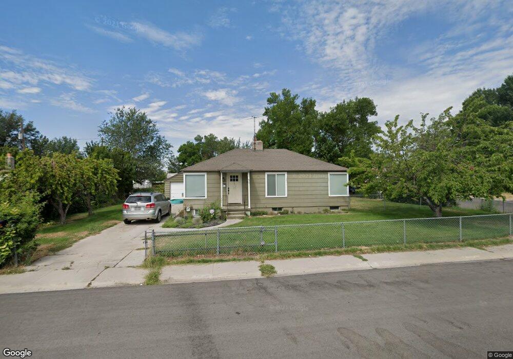
56 Wilson Ave American Fork, UT 84003
Estimated Value: $399,540 - $447,000
4
Beds
1
Bath
1,824
Sq Ft
$232/Sq Ft
Est. Value
About This Home
This home is located at 56 Wilson Ave, American Fork, UT 84003 and is currently estimated at $423,180, approximately $232 per square foot. 56 Wilson Ave is a home located in Utah County with nearby schools including Greenwood Elementary School, American Fork Junior High School, and American Fork High School.
Ownership History
Date
Name
Owned For
Owner Type
Purchase Details
Closed on
Apr 10, 2020
Sold by
Lioyd Katherine M and Lioyd Carter
Bought by
Lindsay Savanah and Wylie Doctor
Current Estimated Value
Home Financials for this Owner
Home Financials are based on the most recent Mortgage that was taken out on this home.
Original Mortgage
$294,566
Outstanding Balance
$260,204
Interest Rate
3.25%
Mortgage Type
FHA
Estimated Equity
$162,976
Purchase Details
Closed on
Oct 24, 2019
Sold by
Lloyd Katherine M and Lloyd Carter
Bought by
Lloyd Katherine M and Lloyd Carter
Home Financials for this Owner
Home Financials are based on the most recent Mortgage that was taken out on this home.
Original Mortgage
$227,000
Interest Rate
3.7%
Mortgage Type
New Conventional
Purchase Details
Closed on
Aug 7, 2017
Sold by
Aycock Kevin and Aycock Rebcca
Bought by
Lloyd Katherine M and Lloyd Carter
Home Financials for this Owner
Home Financials are based on the most recent Mortgage that was taken out on this home.
Original Mortgage
$230,743
Interest Rate
3.75%
Mortgage Type
FHA
Purchase Details
Closed on
May 5, 2014
Sold by
Broicious Roger V and Andersen Jacquelyn
Bought by
Aycock Kevin and Aycock Rebecca
Home Financials for this Owner
Home Financials are based on the most recent Mortgage that was taken out on this home.
Original Mortgage
$147,250
Interest Rate
4.28%
Purchase Details
Closed on
Apr 9, 2012
Sold by
Brocious Brenda M
Bought by
Brocious Roger
Home Financials for this Owner
Home Financials are based on the most recent Mortgage that was taken out on this home.
Original Mortgage
$52,100
Interest Rate
3.86%
Purchase Details
Closed on
Apr 2, 2012
Sold by
Brocious Roger V
Bought by
Brockious Roger and Andersen Jacquelyn
Home Financials for this Owner
Home Financials are based on the most recent Mortgage that was taken out on this home.
Original Mortgage
$52,100
Interest Rate
3.86%
Purchase Details
Closed on
Feb 10, 1998
Sold by
Brocious Roger V
Bought by
Brocious Roger V and Brocious Brenda M
Home Financials for this Owner
Home Financials are based on the most recent Mortgage that was taken out on this home.
Original Mortgage
$79,500
Interest Rate
6.98%
Create a Home Valuation Report for This Property
The Home Valuation Report is an in-depth analysis detailing your home's value as well as a comparison with similar homes in the area
Home Values in the Area
Average Home Value in this Area
Purchase History
| Date | Buyer | Sale Price | Title Company |
|---|---|---|---|
| Lindsay Savanah | -- | Vanguard Title Ins Agcy Llc | |
| Lloyd Katherine M | -- | Reltco Inc | |
| Lloyd Katherine M | -- | Charter Title | |
| Aycock Kevin | -- | Morgan Title & Escrow Inc | |
| Brocious Roger | -- | Nations Title Agency Inc | |
| Brockious Roger | -- | Nations Title Agency Inc | |
| Brocious Roger V | -- | Provo Land Title | |
| Brocious Roger | -- | Provo Land Title Company |
Source: Public Records
Mortgage History
| Date | Status | Borrower | Loan Amount |
|---|---|---|---|
| Open | Lindsay Savanah | $294,566 | |
| Previous Owner | Lloyd Katherine M | $227,000 | |
| Previous Owner | Lloyd Katherine M | $230,743 | |
| Previous Owner | Aycock Kevin | $147,250 | |
| Previous Owner | Brocious Roger | $52,100 | |
| Previous Owner | Brocious Roger | $79,500 |
Source: Public Records
Tax History
| Year | Tax Paid | Tax Assessment Tax Assessment Total Assessment is a certain percentage of the fair market value that is determined by local assessors to be the total taxable value of land and additions on the property. | Land | Improvement |
|---|---|---|---|---|
| 2025 | $1,667 | $188,980 | -- | -- |
| 2024 | $1,667 | $185,185 | $0 | $0 |
| 2023 | $1,626 | $191,565 | $0 | $0 |
| 2022 | $1,645 | $191,235 | $0 | $0 |
| 2021 | $1,411 | $256,300 | $98,600 | $157,700 |
| 2020 | $1,321 | $232,700 | $88,000 | $144,700 |
| 2019 | $1,218 | $221,800 | $81,300 | $140,500 |
| 2018 | $1,129 | $196,700 | $74,500 | $122,200 |
| 2017 | $937 | $88,110 | $0 | $0 |
| 2016 | $956 | $83,490 | $0 | $0 |
| 2015 | $919 | $76,175 | $0 | $0 |
| 2014 | $852 | $69,630 | $0 | $0 |
Source: Public Records
Map
Nearby Homes
- 217 W Main St
- 120 N 350 W Unit 127
- 120 N 350 W Unit 133
- 120 N 350 W Unit 130
- 120 N 350 W Unit 129
- 120 N 350 W Unit 131
- 454 W 230 S
- 80 S 200 W
- 164 N 450 W
- 6 S 100 W
- 315 S 680 W
- 341 S 190 W
- 86 N 100 W
- 334 S 680 W
- 374 S 650 W
- 415 S 680 W Unit 45
- 171 S Center St
- 763 W Bronze Leaf Rd
- 788 W Bronze Leaf Rd
- 414 N 580 W
- 429 Jefferson Ave
- 66 Wilson Ave
- 55 Wilson Ave
- 74 Wilson Ave
- 65 Roosevelt Ave
- 422 Jefferson Ave
- 414 Jefferson Ave
- 65 Wilson Ave
- 430 Jefferson Ave
- 73 Roosevelt Ave
- 82 Wilson Ave
- 73 Wilson Ave
- 395 Jefferson Ave
- 35 Roosevelt Ave
- 398 Jefferson Ave
- 81 Roosevelt Ave
- 81 Wilson Ave
- 25 Roosevelt Ave
- 392 Jefferson Ave
- 52 Roosevelt Ave
Your Personal Tour Guide
Ask me questions while you tour the home.