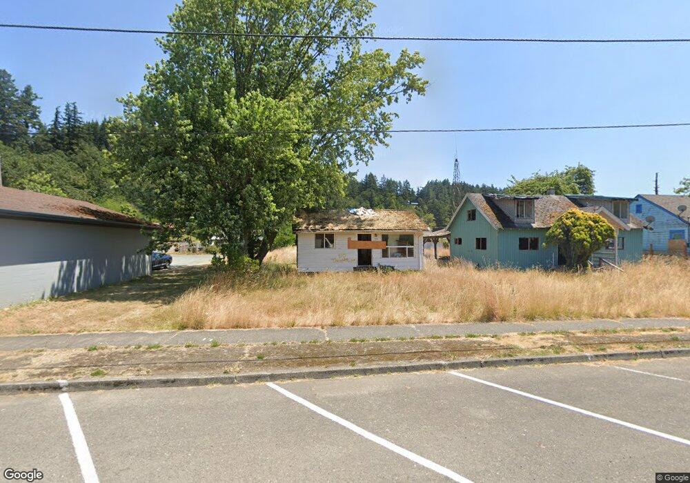
560 2nd Ave Powers, OR 97466
Estimated Value: $127,752 - $342,000
5
Beds
2
Baths
1,816
Sq Ft
$129/Sq Ft
Est. Value
About This Home
This home is located at 560 2nd Ave, Powers, OR 97466 and is currently estimated at $234,876, approximately $129 per square foot. 560 2nd Ave is a home with nearby schools including Powers High School.
Ownership History
Date
Name
Owned For
Owner Type
Purchase Details
Closed on
Mar 1, 2013
Sold by
Thornsberry Richard and Thornsberry Glenda F
Bought by
Thornsberry Minor Sheila L
Current Estimated Value
Create a Home Valuation Report for This Property
The Home Valuation Report is an in-depth analysis detailing your home's value as well as a comparison with similar homes in the area
Purchase History
| Date | Buyer | Sale Price | Title Company |
|---|---|---|---|
| Thornsberry Minor Sheila L | -- | None Available |
Source: Public Records
Tax History
| Year | Tax Paid | Tax Assessment Tax Assessment Total Assessment is a certain percentage of the fair market value that is determined by local assessors to be the total taxable value of land and additions on the property. | Land | Improvement |
|---|---|---|---|---|
| 2025 | $620 | $41,360 | -- | -- |
| 2024 | $620 | $41,360 | -- | -- |
| 2023 | $1,456 | $92,360 | $0 | $0 |
| 2022 | $1,433 | $89,670 | $0 | $0 |
| 2021 | $1,391 | $87,060 | $0 | $0 |
| 2020 | $1,325 | $87,060 | $0 | $0 |
| 2019 | $1,270 | $82,070 | $0 | $0 |
| 2018 | $1,233 | $79,680 | $0 | $0 |
| 2017 | $1,200 | $77,360 | $0 | $0 |
| 2016 | $1,164 | $75,110 | $0 | $0 |
| 2015 | $816 | $72,930 | $0 | $0 |
| 2014 | $816 | $70,810 | $0 | $0 |
Source: Public Records
Map
Nearby Homes
- 510 Fir St
- 141 Poplar St
- 631 2nd Ave
- 410 3rd Ave
- 309 4th Ave
- 130 E Date St
- 815 E Ave
- 173 E Date St
- 930 C Ave
- 889 H Ave
- 711 H Ave
- 45651 Johnson Mountain Rd
- 0 Johnson Mt Rd Unit 600 168667991
- 41308 S Powers Rd
- 46255 Highway 242
- 51014 Dement Creek Rd
- 15779 Oregon 42
- 000 Eden Valley Rd Unit 600
- 20191 Highway 42
- 16855 Highway 42
Your Personal Tour Guide
Ask me questions while you tour the home.