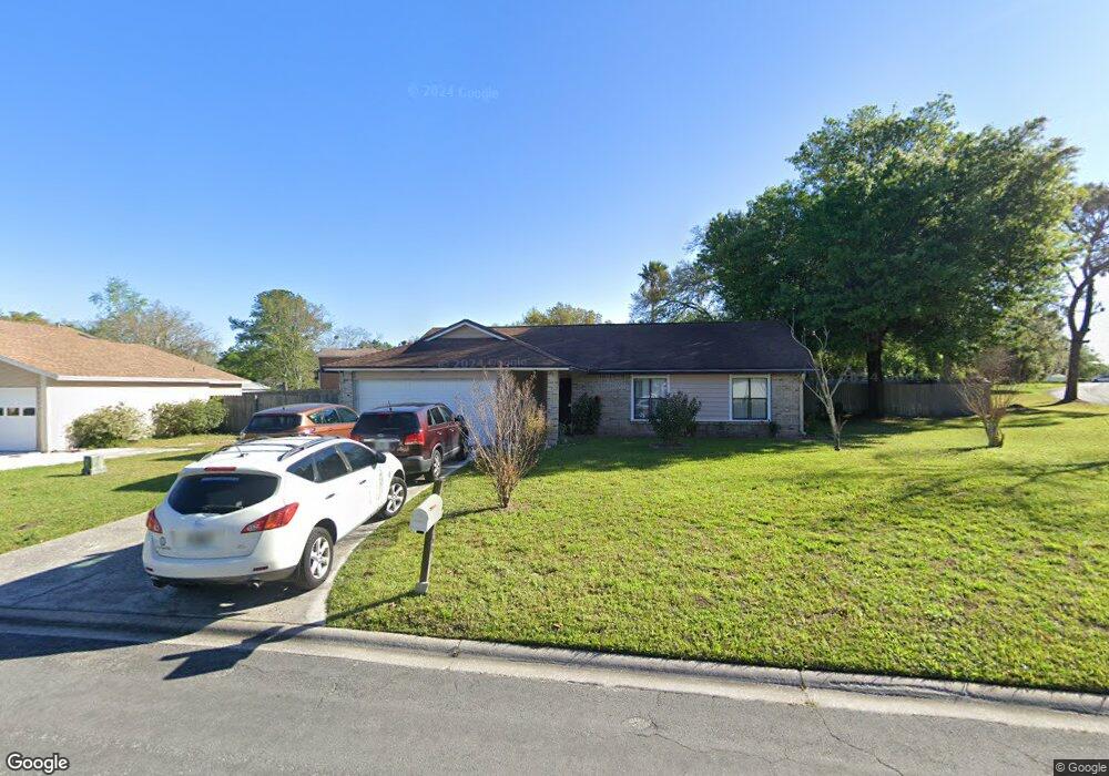
560 Arthur Middleton Cir Orange Park, FL 32073
Estimated Value: $273,000 - $286,000
3
Beds
2
Baths
1,454
Sq Ft
$191/Sq Ft
Est. Value
About This Home
This home is located at 560 Arthur Middleton Cir, Orange Park, FL 32073 and is currently estimated at $278,068, approximately $191 per square foot. 560 Arthur Middleton Cir is a home located in Clay County with nearby schools including Orange Park High School, W.E. Cherry Elementary School, and Orange Park Junior High School.
Ownership History
Date
Name
Owned For
Owner Type
Purchase Details
Closed on
Aug 22, 2005
Sold by
Abel Mordechai and Abel Savyona
Bought by
Driver Douglas and Driver Caridad E
Current Estimated Value
Home Financials for this Owner
Home Financials are based on the most recent Mortgage that was taken out on this home.
Original Mortgage
$159,000
Outstanding Balance
$89,909
Interest Rate
6.87%
Mortgage Type
Fannie Mae Freddie Mac
Estimated Equity
$188,159
Create a Home Valuation Report for This Property
The Home Valuation Report is an in-depth analysis detailing your home's value as well as a comparison with similar homes in the area
Home Values in the Area
Average Home Value in this Area
Purchase History
| Date | Buyer | Sale Price | Title Company |
|---|---|---|---|
| Driver Douglas | $159,000 | Gibraltar Title Services |
Source: Public Records
Mortgage History
| Date | Status | Borrower | Loan Amount |
|---|---|---|---|
| Open | Driver Douglas | $159,000 |
Source: Public Records
Tax History Compared to Growth
Tax History
| Year | Tax Paid | Tax Assessment Tax Assessment Total Assessment is a certain percentage of the fair market value that is determined by local assessors to be the total taxable value of land and additions on the property. | Land | Improvement |
|---|---|---|---|---|
| 2024 | $1,382 | $112,386 | -- | -- |
| 2023 | $1,382 | $109,113 | $0 | $0 |
| 2022 | $1,222 | $105,935 | $0 | $0 |
| 2021 | $1,217 | $102,850 | $0 | $0 |
| 2020 | $1,181 | $101,430 | $0 | $0 |
| 2019 | $1,159 | $99,150 | $0 | $0 |
| 2018 | $1,053 | $97,301 | $0 | $0 |
| 2017 | $1,043 | $95,300 | $0 | $0 |
| 2016 | $1,037 | $93,340 | $0 | $0 |
| 2015 | $1,072 | $92,691 | $0 | $0 |
| 2014 | $1,044 | $91,956 | $0 | $0 |
Source: Public Records
Map
Nearby Homes
- 584 Arthur Middleton Cir
- 590 Constitution Dr
- 644 Charles Carroll St
- 2192 George Wythe Rd
- 603 Benjamin Harrison St
- 776 Duart Dr
- 798 Cameron Dr
- 806 Falkirk Ct
- 2166 John Hart Cir
- 2212 Carter Braxton Rd
- 739 Duart Dr
- 592 Charles Pinckney St
- 2235 Thomas Lynch Ct
- 222 Kettering Ct
- 729 Cherry Grove Rd
- 1504 Kettering Way
- 2318 Torbay Dr
- 1101 Kettering Way
- 664 Kilchurn Dr
- 504 Kettering Way
- 562 Arthur Middleton Cir
- 560 Edward Rutledge St
- 558 Edward Rutledge St
- 562 Edward Rutledge St
- 564 Arthur Middleton Cir
- 561 Arthur Middleton Cir
- 556 Edward Rutledge St
- 707 Roger Sherman St
- 705 Roger Sherman St
- 563 Arthur Middleton Cir
- 566 Arthur Middleton Cir
- 703 Roger Sherman St
- 554 Edward Rutledge St
- 572 Thomas McKeen St
- 589 Arthur Middleton Cir
- 559 Edward Rutledge St
- 565 Arthur Middleton Cir
- 557 Edward Rutledge St
- 561 Edward Rutledge St
- 701 Roger Sherman St