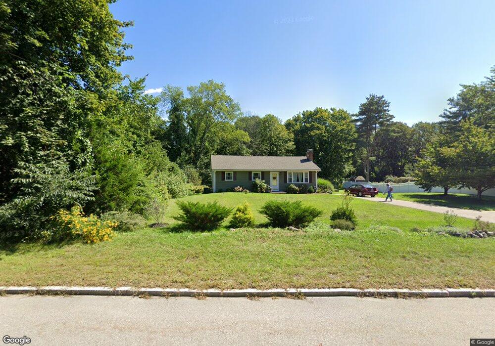
560 East St Wrentham, MA 02093
Estimated Value: $548,000 - $587,000
3
Beds
2
Baths
1,360
Sq Ft
$420/Sq Ft
Est. Value
About This Home
This home is located at 560 East St, Wrentham, MA 02093 and is currently estimated at $570,992, approximately $419 per square foot. 560 East St is a home located in Norfolk County with nearby schools including Delaney Elementary School, Charles E Roderick, and Foxborough Regional Charter School.
Ownership History
Date
Name
Owned For
Owner Type
Purchase Details
Closed on
Nov 29, 2000
Sold by
Mackenzie Ft
Bought by
Connelly Virginia M
Current Estimated Value
Home Financials for this Owner
Home Financials are based on the most recent Mortgage that was taken out on this home.
Original Mortgage
$191,200
Outstanding Balance
$70,763
Interest Rate
7.76%
Mortgage Type
Purchase Money Mortgage
Estimated Equity
$500,229
Purchase Details
Closed on
Aug 19, 1999
Sold by
Caruso Ramona
Bought by
Mackenzie Ft
Create a Home Valuation Report for This Property
The Home Valuation Report is an in-depth analysis detailing your home's value as well as a comparison with similar homes in the area
Home Values in the Area
Average Home Value in this Area
Purchase History
| Date | Buyer | Sale Price | Title Company |
|---|---|---|---|
| Connelly Virginia M | $239,000 | -- | |
| Mackenzie Ft | $110,000 | -- |
Source: Public Records
Mortgage History
| Date | Status | Borrower | Loan Amount |
|---|---|---|---|
| Open | Mackenzie Ft | $191,200 |
Source: Public Records
Tax History Compared to Growth
Tax History
| Year | Tax Paid | Tax Assessment Tax Assessment Total Assessment is a certain percentage of the fair market value that is determined by local assessors to be the total taxable value of land and additions on the property. | Land | Improvement |
|---|---|---|---|---|
| 2025 | $5,690 | $490,900 | $261,900 | $229,000 |
| 2024 | $5,236 | $436,300 | $261,900 | $174,400 |
| 2023 | $4,961 | $393,100 | $238,100 | $155,000 |
| 2022 | $4,940 | $361,400 | $214,500 | $146,900 |
| 2021 | $4,664 | $331,500 | $191,600 | $139,900 |
| 2020 | $4,506 | $316,200 | $174,900 | $141,300 |
| 2019 | $4,432 | $313,900 | $174,900 | $139,000 |
| 2018 | $4,609 | $323,700 | $175,000 | $148,700 |
| 2017 | $4,369 | $306,600 | $171,600 | $135,000 |
| 2016 | $4,273 | $299,200 | $166,700 | $132,500 |
| 2015 | $3,857 | $257,500 | $145,600 | $111,900 |
| 2014 | $3,817 | $249,300 | $140,100 | $109,200 |
Source: Public Records
Map
Nearby Homes
- 362 East St
- 1 Lorraine Metcalf Dr
- 270 Dedham St
- 65 Pond St
- 25 Foxboro Rd
- 10 Nature View Dr
- 15 Nature View Dr
- 483 Thurston St
- 11 Goodwin Dr
- 120 Hawes St
- 319 Taunton St
- 7 Hill St Unit 10
- 10 W Birch Rd
- 0 W Birch Rd
- 3 Oak Rd
- 71 Pond St
- 20 Valley St Unit 20
- 246 Forest Grove Ave
- 131 Creek St Unit 7
- 11 Earle Stewart Ln