560 Edmondson Dr Dahlonega, GA 30533
Estimated Value: $387,000 - $593,000
--
Bed
2
Baths
1,716
Sq Ft
$263/Sq Ft
Est. Value
About This Home
This home is located at 560 Edmondson Dr, Dahlonega, GA 30533 and is currently estimated at $452,086, approximately $263 per square foot. 560 Edmondson Dr is a home with nearby schools including Clay County Middle School and Lumpkin County High School.
Ownership History
Date
Name
Owned For
Owner Type
Purchase Details
Closed on
Jun 19, 2006
Sold by
Not Provided
Bought by
Baker Scotty Wayne and Chrystal Gail
Current Estimated Value
Home Financials for this Owner
Home Financials are based on the most recent Mortgage that was taken out on this home.
Original Mortgage
$35,000
Interest Rate
6.57%
Mortgage Type
New Conventional
Purchase Details
Closed on
Aug 24, 1994
Bought by
King Sarah Edmondson
Create a Home Valuation Report for This Property
The Home Valuation Report is an in-depth analysis detailing your home's value as well as a comparison with similar homes in the area
Home Values in the Area
Average Home Value in this Area
Purchase History
| Date | Buyer | Sale Price | Title Company |
|---|---|---|---|
| Baker Scotty Wayne | $45,000 | -- | |
| King Sarah Edmondson | -- | -- |
Source: Public Records
Mortgage History
| Date | Status | Borrower | Loan Amount |
|---|---|---|---|
| Closed | Baker Scotty Wayne | $35,000 |
Source: Public Records
Tax History Compared to Growth
Tax History
| Year | Tax Paid | Tax Assessment Tax Assessment Total Assessment is a certain percentage of the fair market value that is determined by local assessors to be the total taxable value of land and additions on the property. | Land | Improvement |
|---|---|---|---|---|
| 2024 | $3,066 | $133,909 | $19,375 | $114,534 |
| 2023 | $2,518 | $126,616 | $19,375 | $107,241 |
| 2022 | $2,693 | $110,772 | $16,146 | $94,626 |
| 2021 | $2,343 | $93,543 | $16,146 | $77,397 |
| 2020 | $2,345 | $90,908 | $15,472 | $75,436 |
| 2019 | $2,367 | $90,908 | $15,472 | $75,436 |
| 2018 | $2,255 | $81,498 | $15,472 | $66,026 |
| 2017 | $2,210 | $78,386 | $15,472 | $62,914 |
| 2016 | $2,128 | $73,158 | $15,472 | $57,686 |
| 2015 | $1,892 | $73,158 | $15,472 | $57,686 |
| 2014 | $1,892 | $73,779 | $15,472 | $58,307 |
| 2013 | -- | $74,399 | $15,472 | $58,927 |
Source: Public Records
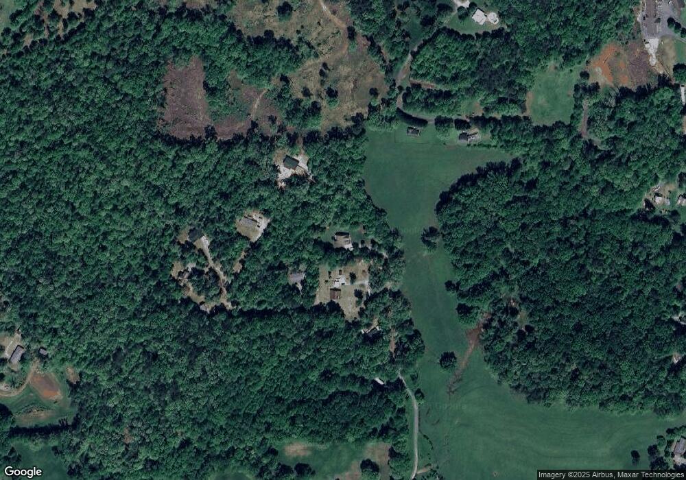
Map
Nearby Homes
- 81 Anderson Dr
- 239 Glenn Elliott Rd
- LOT 1 the Overlook at Crown Mountain
- Tr 3 Glenn Elliot Rd
- 26 Dowdy Ct
- 1879 Camp Wahsega Rd
- 5 Grateful View Dr
- 70 Avery Trail
- 64 Hickory Ln
- 955 Camp Wahsega Rd
- 931 Homer Edwards Rd
- 0 Woodland Ln Unit 10570991
- 7B Strada Valdichiana
- 22 Deer Ridge Rd
- 100 Sanders Blvd
- 160 Piazza Pomino
- 120 Sanders Blvd
- 357 Camp Wahsega Rd
- 1344 Black Mountain Rd
- 182 Larmon Forks Rd
- 226 Applejack Ln
- 120 Anhaila Ln
- 569 Edmondson Dr
- 160 Biddy Hollow
- 277 Bear Claw Rd
- 159 Biddy Hollow
- 177 Bear Claw Rd
- 163 Biddy Hollow
- 438 Bear Claw Rd
- 320 Edmondson Dr
- 142 Bear Claw Rd
- 37 Bear Claw Rd
- 1153 Wash Rider Rd
- 1141 Wash Rider Rd
- 271 Edmondson Dr
- 54 Crows Overlook
- 898 John Dowdy Rd
- 227 Edmondson Dr