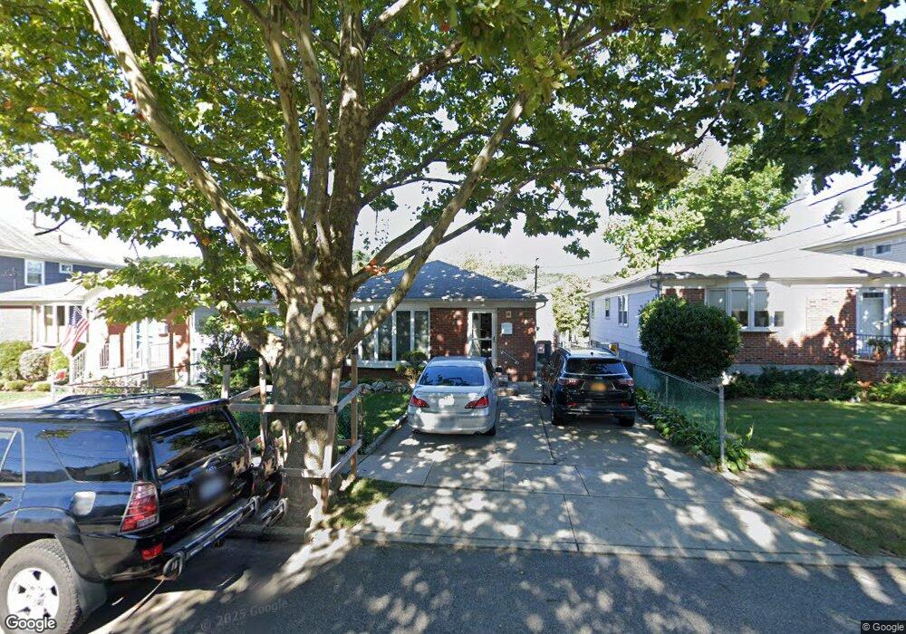
560 Hanover Ave Staten Island, NY 10304
Concord NeighborhoodEstimated Value: $590,031 - $813,000
--
Bed
4
Baths
884
Sq Ft
$796/Sq Ft
Est. Value
About This Home
This home is located at 560 Hanover Ave, Staten Island, NY 10304 and is currently estimated at $704,008, approximately $796 per square foot. 560 Hanover Ave is a home located in Richmond County with nearby schools including P.S. 48 - William C. Wilcox, I.S. 49 Berta A Dreyfus, and New Dorp High School.
Ownership History
Date
Name
Owned For
Owner Type
Purchase Details
Closed on
Apr 24, 2007
Sold by
Mizrahi Rose and Roth Gwen
Bought by
Mizrahi Rose and Roth Gwen
Current Estimated Value
Purchase Details
Closed on
Aug 14, 1996
Sold by
Attilio Paul and Attilio Julia
Bought by
Mizrahi Rose and Roth Gwen
Home Financials for this Owner
Home Financials are based on the most recent Mortgage that was taken out on this home.
Original Mortgage
$152,000
Outstanding Balance
$12,219
Interest Rate
8.4%
Estimated Equity
$691,789
Create a Home Valuation Report for This Property
The Home Valuation Report is an in-depth analysis detailing your home's value as well as a comparison with similar homes in the area
Home Values in the Area
Average Home Value in this Area
Purchase History
| Date | Buyer | Sale Price | Title Company |
|---|---|---|---|
| Mizrahi Rose | -- | None Available | |
| Mizrahi Rose | $190,000 | -- |
Source: Public Records
Mortgage History
| Date | Status | Borrower | Loan Amount |
|---|---|---|---|
| Open | Mizrahi Rose | $152,000 |
Source: Public Records
Tax History Compared to Growth
Tax History
| Year | Tax Paid | Tax Assessment Tax Assessment Total Assessment is a certain percentage of the fair market value that is determined by local assessors to be the total taxable value of land and additions on the property. | Land | Improvement |
|---|---|---|---|---|
| 2025 | $5,150 | $41,400 | $6,730 | $34,670 |
| 2024 | $5,162 | $33,840 | $7,768 | $26,072 |
| 2023 | $5,103 | $26,525 | $6,735 | $19,790 |
| 2022 | $5,008 | $38,640 | $9,720 | $28,920 |
| 2021 | $5,026 | $33,900 | $9,720 | $24,180 |
| 2020 | $4,760 | $32,760 | $9,720 | $23,040 |
| 2019 | $4,421 | $31,860 | $9,720 | $22,140 |
| 2018 | $4,208 | $22,104 | $7,234 | $14,870 |
| 2017 | $4,206 | $22,104 | $7,818 | $14,286 |
| 2016 | $3,908 | $21,100 | $8,297 | $12,803 |
| 2015 | $3,299 | $19,906 | $7,147 | $12,759 |
| 2014 | $3,299 | $18,780 | $8,100 | $10,680 |
Source: Public Records
Map
Nearby Homes
- 561 Hanover Ave
- 1890 Clove Rd
- 72 Alan Loop
- 31 Alan Loop Unit 65
- 1 Neckar Ave
- 4 Sheridan Ave
- 325 Oder Ave
- 164 Stonegate Dr
- 315 Oder Ave
- 24 Roosevelt St
- 174 Pierce St
- 190A Pierce St
- 15 Roosevelt St
- 0 Douglas Rd
- 190 Pierce St Unit A
- 56 Stonegate Dr
- 215 Pierce St
- 63 Gateway Dr Unit 172
- 1 Douglas Ct
- 80 Hillcrest Terrace
- 556 Hanover Ave
- 566 Hanover Ave
- 570 Hanover Ave
- 552 Hanover Ave
- 561 Britton Ave
- 559 Britton Ave
- 563 Britton Ave
- 572 Hanover Ave
- 555 Britton Ave
- 567 Britton Ave
- 550 Hanover Ave
- 553 Britton Ave
- 574 Hanover Ave
- 549 Britton Ave
- 576 Hanover Ave
- 557 Hanover Ave
- 546 Hanover Ave
- 555 Hanover Ave
- 563 Hanover Ave
- 573 Britton Ave