560 Henson Way Canton, GA 30115
Union Hill NeighborhoodEstimated Value: $1,028,000 - $1,274,000
4
Beds
4
Baths
4,477
Sq Ft
$262/Sq Ft
Est. Value
About This Home
This home is located at 560 Henson Way, Canton, GA 30115 and is currently estimated at $1,174,414, approximately $262 per square foot. 560 Henson Way is a home located in Cherokee County with nearby schools including Avery Elementary School, Creekland Middle School, and Creekview High School.
Ownership History
Date
Name
Owned For
Owner Type
Purchase Details
Closed on
Sep 6, 2013
Sold by
Cook Kevin
Bought by
Bone Jeff and Bone Valerie
Current Estimated Value
Home Financials for this Owner
Home Financials are based on the most recent Mortgage that was taken out on this home.
Original Mortgage
$26,000
Outstanding Balance
$19,276
Interest Rate
4.39%
Mortgage Type
New Conventional
Estimated Equity
$1,155,138
Purchase Details
Closed on
Jan 24, 2013
Sold by
Ameris Bank
Bought by
Cook Kevin and Cook Julie T
Purchase Details
Closed on
Nov 1, 2012
Sold by
Federal Deposit Insurance Corporation
Bought by
Ameris Bank
Create a Home Valuation Report for This Property
The Home Valuation Report is an in-depth analysis detailing your home's value as well as a comparison with similar homes in the area
Home Values in the Area
Average Home Value in this Area
Purchase History
| Date | Buyer | Sale Price | Title Company |
|---|---|---|---|
| Bone Jeff | $38,000 | -- | |
| Cook Kevin | $40,000 | -- | |
| Ameris Bank | -- | -- |
Source: Public Records
Mortgage History
| Date | Status | Borrower | Loan Amount |
|---|---|---|---|
| Open | Bone Jeff | $26,000 |
Source: Public Records
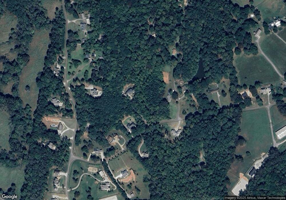
Map
Nearby Homes
- 1205 Sterlington Dr
- 1209 Sterlington Dr
- 1217 Sterlington Dr
- 1216 Sterlington Dr
- 2001 Epperson Rd
- 1281 Sterlington Dr
- 258 Arliss Dr
- 1107 Forest Creek Dr
- 105 Widgeon Ct
- 174 Wheeler Martin Dr
- 170 Wheeler Martin Dr
- 320 Evie Ln
- 115 Wood Grove Ln
- 103 Wood Grove Ln
- 322 Evie Ln
- 7820 E Cherokee Dr
- 103 Forest Creek Way
- 302 Waterfall Ct
- 115 Old Cumming Dr
- 0 Cumming Hwy Unit 10550603
- 594 Henson Way
- 150 Adams Rd
- 00 Adams Rd
- 512 Henson Rd
- 458 Henson Rd
- 541 Henson Way
- 620 Henson Rd
- 502 Henson Way
- 501 Henson Way
- 501 Henson Way
- 600 Henson Rd
- 520 Henson Rd
- 491 Henson Rd
- 467 Henson Rd
- 461 Henson Way
- 558 Henson Rd
- 622 Henson Rd
- 300 Henson Rd
- 0 Adams Rd Unit 6095609
- 0 Adams Rd Unit 8479159
Your Personal Tour Guide
Ask me questions while you tour the home.