560 Lily St Mansfield, OH 44903
Estimated Value: $59,000 - $251,000
3
Beds
1
Bath
1,024
Sq Ft
$129/Sq Ft
Est. Value
About This Home
This home is located at 560 Lily St, Mansfield, OH 44903 and is currently estimated at $132,000, approximately $128 per square foot. 560 Lily St is a home located in Richland County with nearby schools including Goal Digital Academy, St. Peter's Elementary/Montessori School, and St. Peter's High School/Junior High.
Ownership History
Date
Name
Owned For
Owner Type
Purchase Details
Closed on
Jun 12, 2013
Sold by
Taylor Martina M and Taylor Martina
Bought by
Town & Country Co Op Inc
Current Estimated Value
Purchase Details
Closed on
Nov 2, 1992
Sold by
Middlebrook Mary I
Bought by
Middlebrook Mary I
Purchase Details
Closed on
Aug 21, 1992
Sold by
Middlebrook Jack D
Bought by
Middlebrook Mary I
Create a Home Valuation Report for This Property
The Home Valuation Report is an in-depth analysis detailing your home's value as well as a comparison with similar homes in the area
Home Values in the Area
Average Home Value in this Area
Purchase History
| Date | Buyer | Sale Price | Title Company |
|---|---|---|---|
| Town & Country Co Op Inc | $98,000 | Chicago Title | |
| Middlebrook Mary I | $1,000 | -- | |
| Middlebrook Mary I | -- | -- |
Source: Public Records
Tax History Compared to Growth
Tax History
| Year | Tax Paid | Tax Assessment Tax Assessment Total Assessment is a certain percentage of the fair market value that is determined by local assessors to be the total taxable value of land and additions on the property. | Land | Improvement |
|---|---|---|---|---|
| 2024 | $38 | $790 | $790 | $0 |
| 2023 | $38 | $790 | $790 | $0 |
| 2022 | $41 | $710 | $710 | $0 |
| 2021 | $41 | $710 | $710 | $0 |
| 2020 | $129 | $2,200 | $890 | $1,310 |
| 2019 | $143 | $2,200 | $890 | $1,310 |
| 2018 | $142 | $2,200 | $890 | $1,310 |
| 2017 | $138 | $2,200 | $890 | $1,310 |
| 2016 | $171 | $2,650 | $1,410 | $1,240 |
| 2015 | $171 | $2,650 | $1,410 | $1,240 |
| 2014 | $161 | $2,650 | $1,410 | $1,240 |
| 2012 | $131 | $2,800 | $1,490 | $1,310 |
Source: Public Records
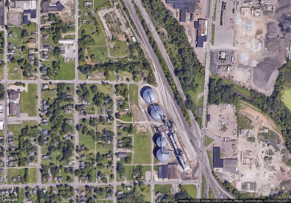
Map
Nearby Homes
- 452 Daisy St
- 156 Buckingham Ave Unit 158
- 526 Bowman St
- 283 Bulkley Ave
- 743 Bowman St
- 371 Bell St
- 458 Wayne St
- 0 Voegele Ave Unit Lot 6048, 6049, 6
- 346 Newman St
- 426 Mcpherson St
- 311 Auburn St
- 169 W 5th St
- 0 Highway 30
- 362-364 W 6th St
- 219 W 5th St
- 512 Burns St
- 282 W 5th St
- 411 Grace St
- 395 Auburn St
- 328 2nd Ave