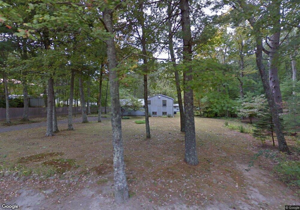
560 Log Rd Smithfield, RI 02917
Estimated Value: $521,000 - $694,000
3
Beds
2
Baths
2,220
Sq Ft
$257/Sq Ft
Est. Value
About This Home
This home is located at 560 Log Rd, Smithfield, RI 02917 and is currently estimated at $570,823, approximately $257 per square foot. 560 Log Rd is a home located in Providence County with nearby schools including Vincent J. Gallagher Middle School and Smithfield High School.
Ownership History
Date
Name
Owned For
Owner Type
Purchase Details
Closed on
Oct 29, 2008
Sold by
Law Laurie J and Ross William B
Bought by
Dicenso Susan M
Current Estimated Value
Home Financials for this Owner
Home Financials are based on the most recent Mortgage that was taken out on this home.
Original Mortgage
$239,737
Interest Rate
5.83%
Mortgage Type
Purchase Money Mortgage
Create a Home Valuation Report for This Property
The Home Valuation Report is an in-depth analysis detailing your home's value as well as a comparison with similar homes in the area
Home Values in the Area
Average Home Value in this Area
Purchase History
| Date | Buyer | Sale Price | Title Company |
|---|---|---|---|
| Dicenso Susan M | $243,500 | -- |
Source: Public Records
Mortgage History
| Date | Status | Borrower | Loan Amount |
|---|---|---|---|
| Open | Dicenso Susan M | $243,333 | |
| Closed | Dicenso Susan M | $239,737 | |
| Previous Owner | Dicenso Susan M | $85,000 | |
| Previous Owner | Dicenso Susan M | $58,000 |
Source: Public Records
Tax History
| Year | Tax Paid | Tax Assessment Tax Assessment Total Assessment is a certain percentage of the fair market value that is determined by local assessors to be the total taxable value of land and additions on the property. | Land | Improvement |
|---|---|---|---|---|
| 2025 | $5,460 | $440,700 | $189,500 | $251,200 |
| 2024 | $5,054 | $350,000 | $157,100 | $192,900 |
| 2023 | $4,802 | $350,000 | $157,100 | $192,900 |
| 2022 | $4,676 | $350,000 | $157,100 | $192,900 |
| 2021 | $4,531 | $264,500 | $117,500 | $147,000 |
| 2020 | $4,446 | $264,500 | $117,500 | $147,000 |
| 2019 | $4,446 | $264,500 | $117,500 | $147,000 |
| 2018 | $4,388 | $249,900 | $117,500 | $132,400 |
| 2017 | $4,318 | $245,900 | $113,500 | $132,400 |
| 2016 | $4,114 | $245,900 | $113,500 | $132,400 |
| 2015 | $3,871 | $220,300 | $104,400 | $115,900 |
| 2012 | $3,874 | $241,800 | $121,000 | $120,800 |
Source: Public Records
Map
Nearby Homes
- 113 Log Rd
- 450 Log Rd
- 0 Christina Way Unit 1360886
- 0 Douglas Pike
- 35 Rustic Acres Dr
- 540 Greenville Rd
- 17 Rogler Farm Rd
- 1283 Douglas Pike
- 3 Rogler Farm Rd
- 1537 Providence Pike
- 87 Mann School Rd
- 5 Kristen Dr
- 608 Black Plain Rd
- 0 Taber Hill Rd Unit 1396868
- 100 Swan Rd
- 7 Trout Brook Ln
- 80 Swan Rd
- 459 Gazza Rd
- 427 Gazza Rd
- 1 Capron Rd
Your Personal Tour Guide
Ask me questions while you tour the home.