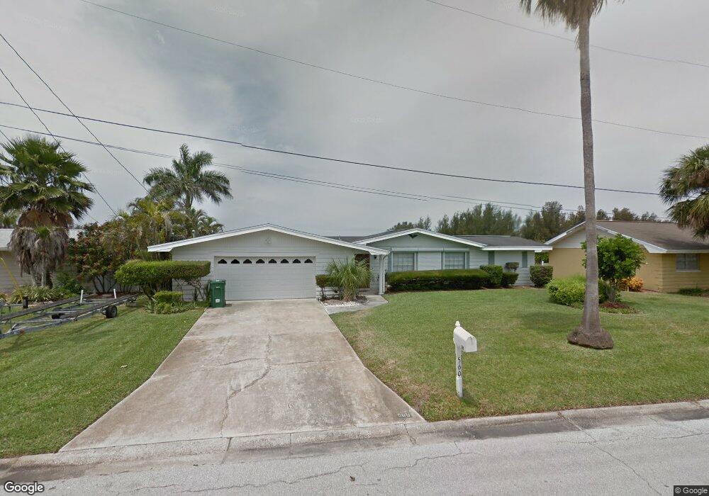
560 Mcnabb Pkwy Cocoa Beach, FL 32931
Estimated Value: $722,000 - $1,004,000
3
Beds
2
Baths
1,783
Sq Ft
$481/Sq Ft
Est. Value
About This Home
This home is located at 560 Mcnabb Pkwy, Cocoa Beach, FL 32931 and is currently estimated at $856,968, approximately $480 per square foot. 560 Mcnabb Pkwy is a home located in Brevard County with nearby schools including Theodore Roosevelt Elementary School, Cocoa Beach Junior/Senior High School, and Cocoa Beach Christian School.
Ownership History
Date
Name
Owned For
Owner Type
Purchase Details
Closed on
May 22, 2014
Sold by
Stover Jeffrey W and Stover Lauren
Bought by
Webb Randall L
Current Estimated Value
Purchase Details
Closed on
Jul 19, 2002
Sold by
Stover Bonni
Bought by
Stover Jeffrey W and Stover Lauren
Home Financials for this Owner
Home Financials are based on the most recent Mortgage that was taken out on this home.
Original Mortgage
$232,000
Interest Rate
6.67%
Purchase Details
Closed on
Mar 14, 1997
Sold by
Pearson Stover Ralph C and Pearson Stover Jeannette
Bought by
Stover Ralph C
Create a Home Valuation Report for This Property
The Home Valuation Report is an in-depth analysis detailing your home's value as well as a comparison with similar homes in the area
Home Values in the Area
Average Home Value in this Area
Purchase History
| Date | Buyer | Sale Price | Title Company |
|---|---|---|---|
| Webb Randall L | $450,000 | Prestige Title Brevard Llc | |
| Stover Jeffrey W | $300,000 | -- | |
| Stover Ralph C | -- | -- |
Source: Public Records
Mortgage History
| Date | Status | Borrower | Loan Amount |
|---|---|---|---|
| Previous Owner | Stover Jeffrey W | $232,000 |
Source: Public Records
Tax History Compared to Growth
Tax History
| Year | Tax Paid | Tax Assessment Tax Assessment Total Assessment is a certain percentage of the fair market value that is determined by local assessors to be the total taxable value of land and additions on the property. | Land | Improvement |
|---|---|---|---|---|
| 2025 | $70 | $416,030 | -- | -- |
| 2024 | $5,596 | $397,330 | -- | -- |
| 2023 | $5,596 | $383,290 | $0 | $0 |
| 2022 | $5,202 | $372,130 | $0 | $0 |
| 2021 | $5,198 | $361,300 | $0 | $0 |
| 2020 | $5,158 | $356,320 | $0 | $0 |
| 2019 | $5,130 | $348,310 | $0 | $0 |
| 2018 | $5,111 | $341,820 | $0 | $0 |
| 2017 | $5,147 | $334,790 | $0 | $0 |
| 2016 | $5,134 | $327,910 | $240,000 | $87,910 |
| 2015 | $4,939 | $315,250 | $240,000 | $75,250 |
| 2014 | $5,519 | $288,750 | $215,000 | $73,750 |
Source: Public Records
Map
Nearby Homes
- 492 Dempsey Dr
- 416 N 4th St
- 308 Formosa Dr
- 276 Curacau Dr
- 240 Woodland Ave Unit 2
- 150 Cedar Ave
- 249 Curacau Dr
- 255 Woodland Ave Unit 1
- 344 N Brevard Ave
- 500 Catalina Rd Unit 203
- 380 N Brevard Ave Unit C1
- 29 Azalea Dr
- 300 N Brevard Ave
- 335 N Brevard Ave
- 714 Catalina Rd Unit 15
- 714 Catalina Rd Unit 2
- 737 Nassau Rd
- 0 Unknown Unit 1061043
- 17 Danube River Dr
- 310 N Atlantic Ave
- 550 Mcnabb Pkwy
- 570 Mcnabb Pkwy
- 490 Blakey Blvd
- 491 Dempsey Dr
- 580 Mcnabb Pkwy
- 489 Blakey Blvd
- 482 Blakey Blvd
- 483 Dempsey Dr
- 484 Dempsey Dr
- 481 Blakey Blvd
- 474 Blakey Blvd
- 398 Mcnabb Pkwy
- 398 Mcnabb Pkwy
- 473 Blakey Blvd
- 488 N 4th St
- 476 Dempsey Dr
- 517 Naish Ave
- 467 Dempsey Dr
- 466 Blakey Blvd
- 480 N 4th St